

As we mentioned previously, it’s time to start introducing you to some of the new Major Cycle Routes that have been constructed lately. We have already shown you the recently completed Rapanui cycleway; now let’s head across to the western side of town to look at one that has been open in various parts throughout the year – the Uni-Cycle (as in “cycle to Uni”).

The Uni-Cycle route is interesting in that it has largely existed as a reasonably friendly cycle route between town and university for many years. The Major Cycle Route works have improved pathways and crossings along the way, as well as creating some important connections that didn’t previously exist. Probably most prominent was the introduction of a new crossing link from Matai St directly into North Hagley Park, suddenly making that route far more attractive.
Let’s start our journey at the outer end on Solway Ave by the UC College of Education. A crossing island here leads you to the start of the new widened shared pathway along Dovedale Ave.
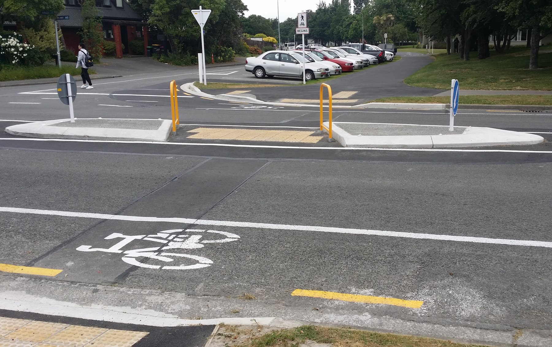
At Waimairi Rd, a signalised crossing allows you to get across this busy road and onto the path leading into Ilam Fields.
Thousands of university students and staff have used the Ilam Fields path over the years to access campus, and yet it remained frustratingly far too narrow for the demand. Finally, it now has a decent 4m width.
At Ilam Rd, the cycleway heads right via a pair of one-way separated cycleways (recently upgraded from the original prototype cycleway). An interesting feature are the combined pedestrian/cycle priority crossings. This section also forms part of the Nor’West Arc cycleway.
The cycleway then heads into University Drive with a two-way pathway alongside the road.
For some sections along University Dr, there are separate cycleway and footpath sections, while for other bits there is one shared 5m wide pathway.
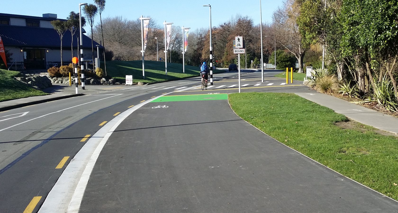
Obviously in a busy campus there are thousands of people wandering around between buildings and elsewhere, including a number of major routes crossing the cycleway. An interesting feature around the major crossings are some slightly raised “rumble strips” to grab your attention while riding – do they work?
The original plans showed separated cycleway and footpath sections. So it’s not quite clear why so much ended up as a shared pathway, especially one that’s 5m wide – why not 3m + 2m?
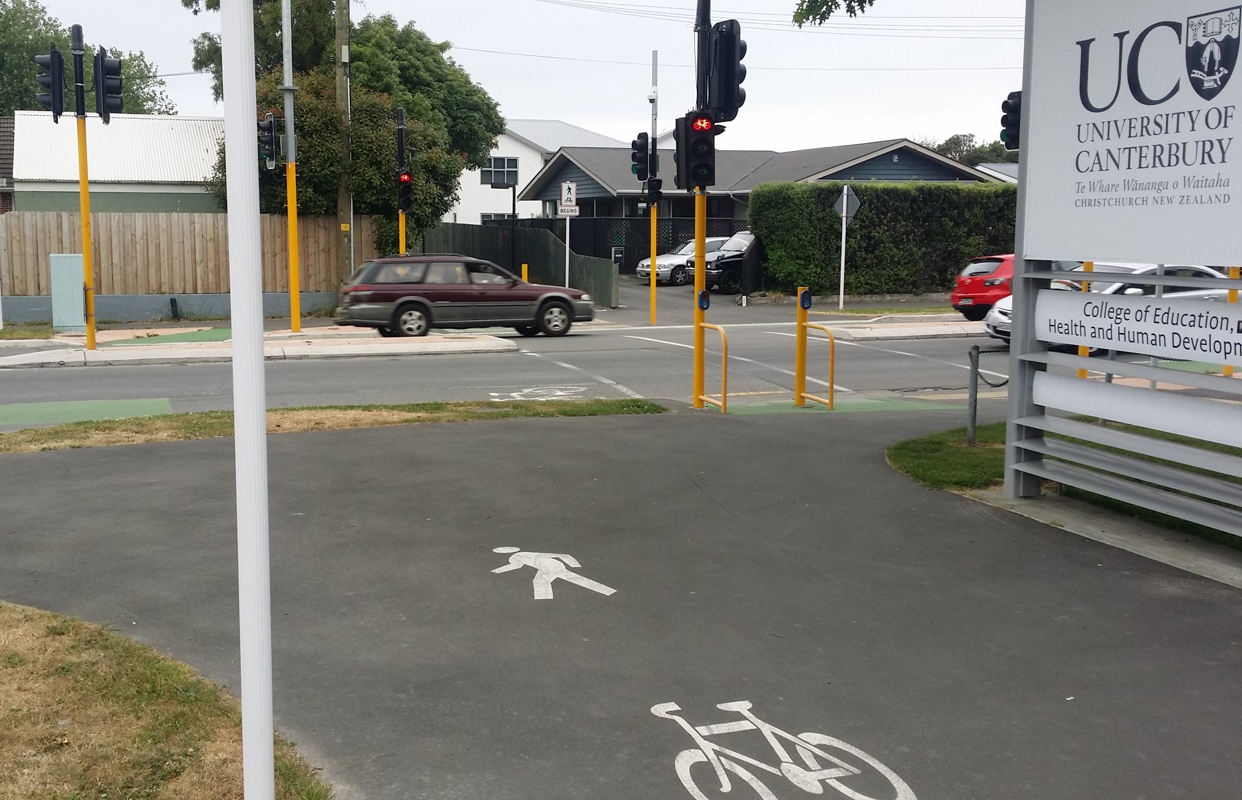
At the eastern end of University Drive, the cycleway makes it way briefly along Clyde Rd before jumping over at another signalised crossing.
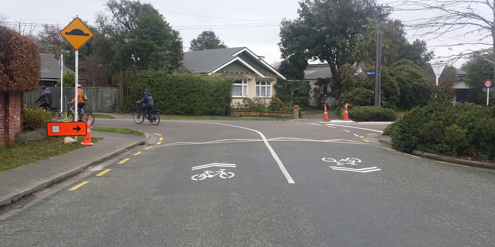
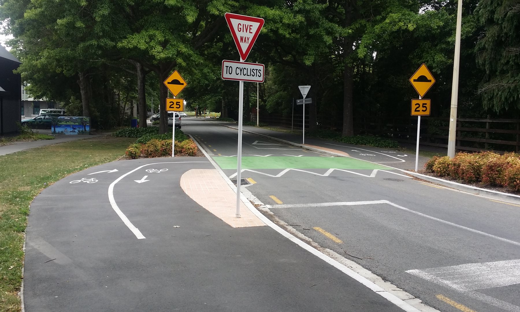
The cycleway then heads into Hinau St where it turns into neighbourhood greenway, i.e. a low-speed, low-volume route. This section of the cycleway has a 30km/h speed limit.
A bit like the new Rapanui cycleway, the route zig-zags a bit through the Riccarton streets, but following the sharrow markings (and roadway lines) takes you the right way.
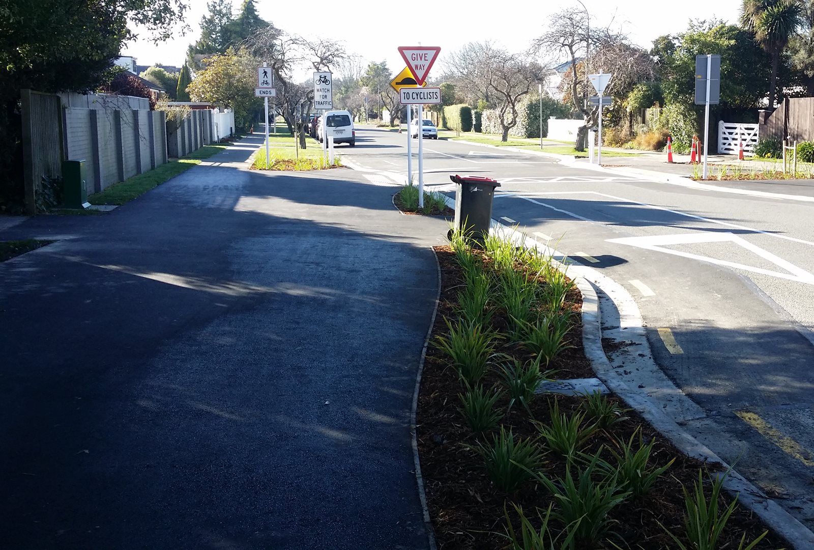
Turning into Ngahere St takes you to the entrance into Riccarton Bush. While this has been a useful cycling route past Riccarton House for years, the tiny pathway and obstructions along the access driveway have been a regular source of frustration (and the Riccarton House Trust seemed reluctant to do much to improve it).

Finally a plan was conceived to create an improved pathway through the reserve (albeit still a bit narrow) and avoid the car access too. At the eastern end, the new pathway reaches Kahu Road and takes a short dogleg left.
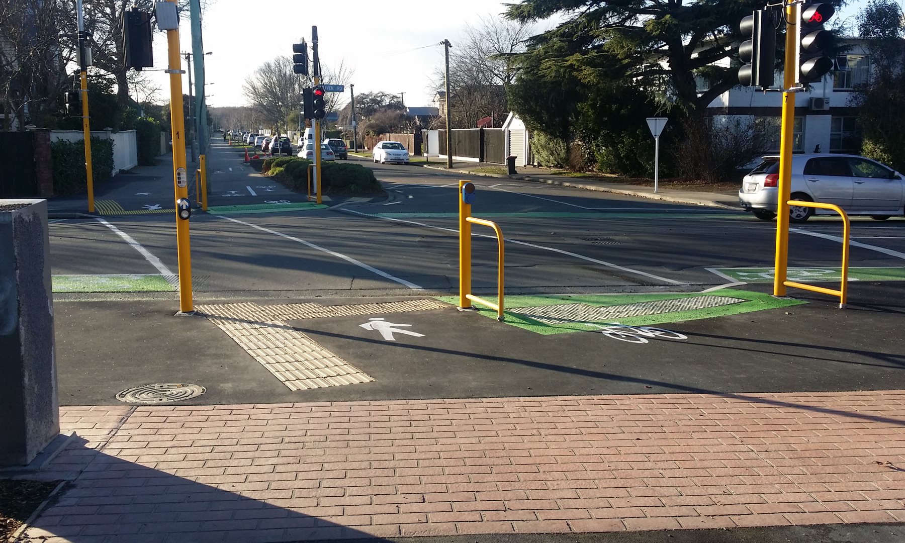
Another busy road, another set of signals – this time to take you across to the alleyway shared pathway by Chch Boys High. As is typical, the signals are very responsive, detecting you on your approach path.
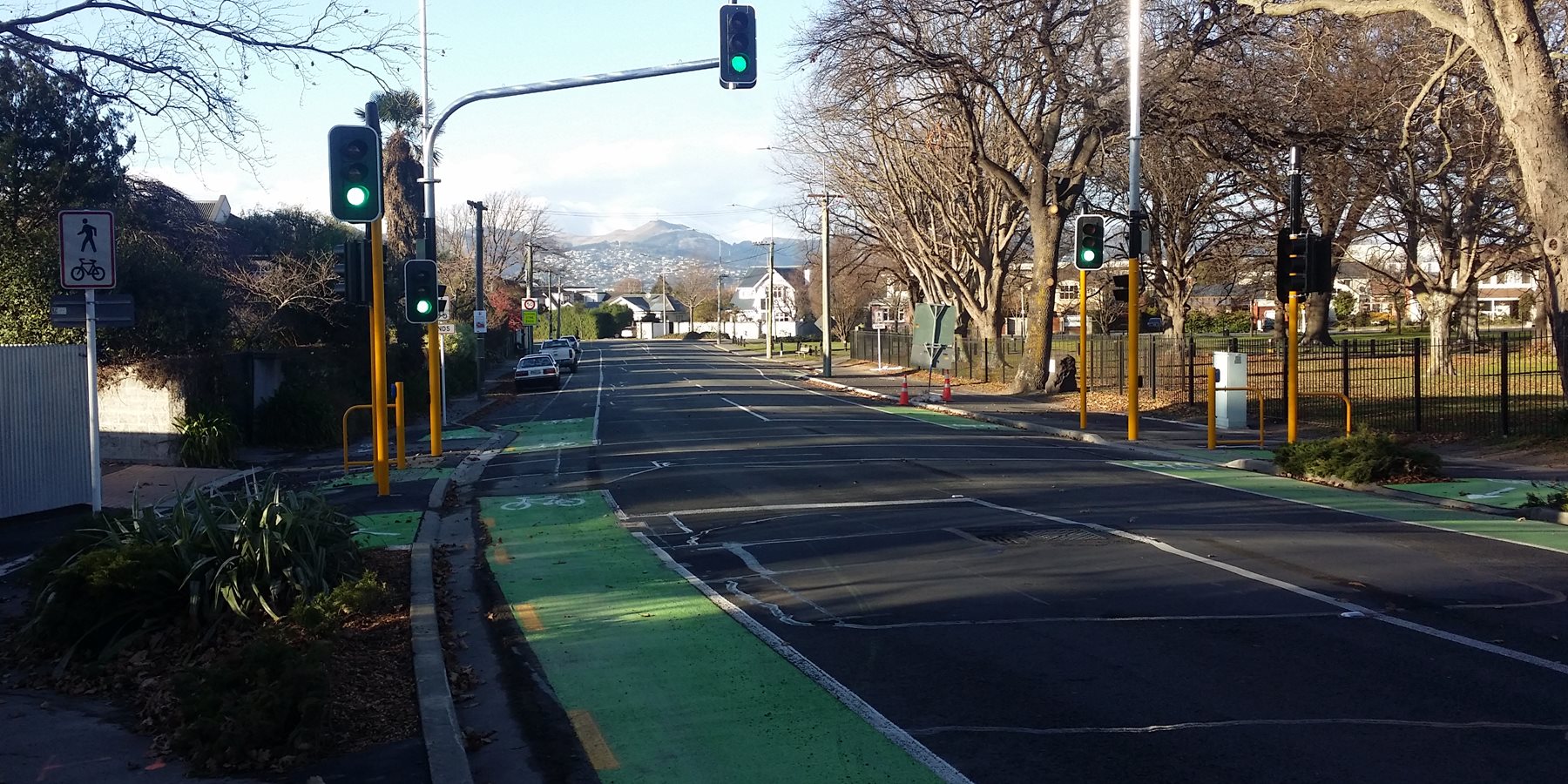
At the other end of the now-widened alleyway, more signals cross over Straven Rd onto the cycleway along Matai St.
This section of Matai St cycleway has been there for over a decade, long before separated cycleways were commonplace. At Harakeke St, it even provides priority for cycleway users over side-road traffic.
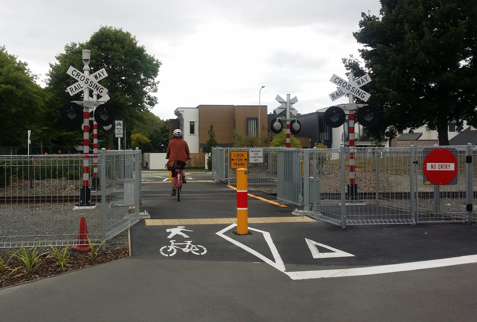
As the cycleway approaches the railway line at Mona Vale, it intersects with the Northern Line aka Railway cycleway. After a long wait for action, riders can now enjoy the new railway crossing featuring double automated gates to cope with the demand – a NZ first.
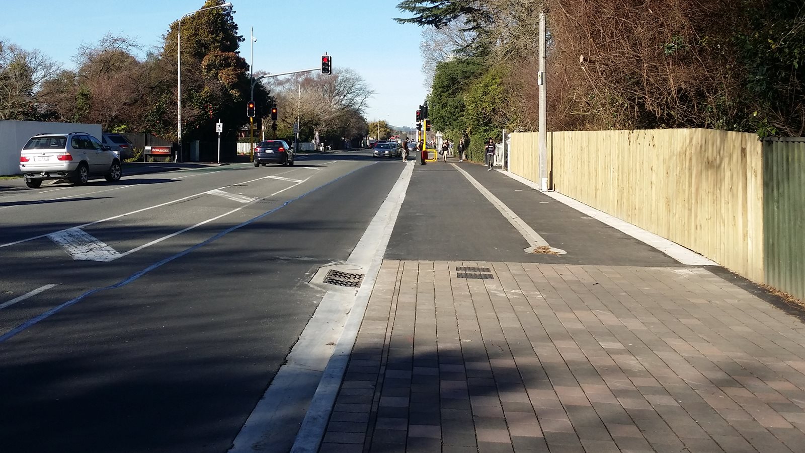
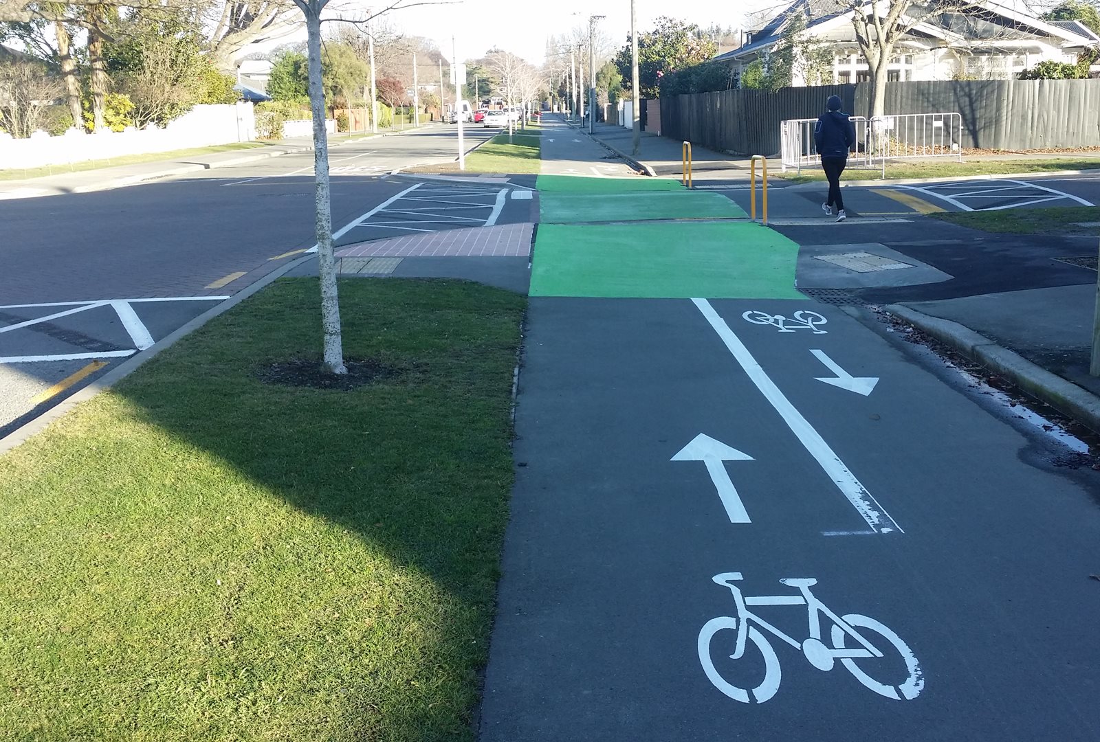
The Uni-Cycle continues along Matai St East with a separated cycleway alongside the road. Most of the time, the road itself is fairly quiet anyway, but the path provides some relief from the occasional school chaos around Chch Girls High.
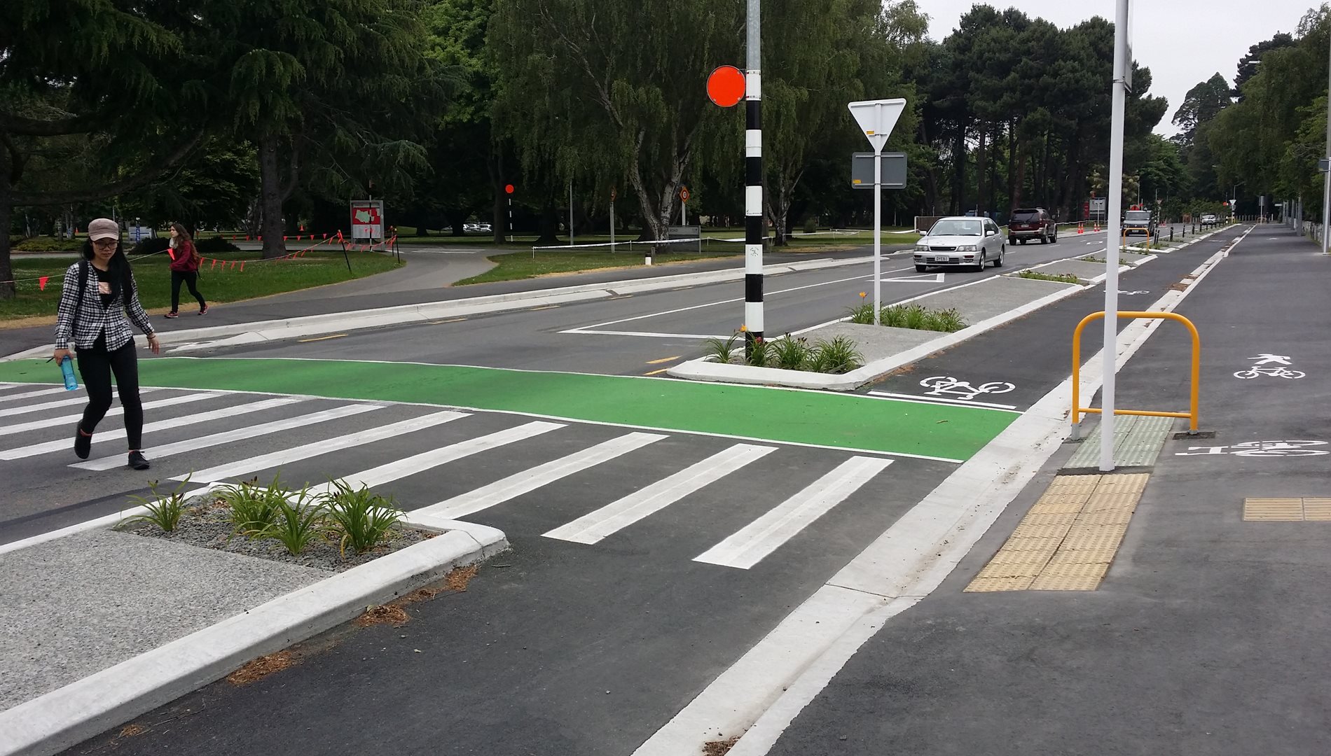
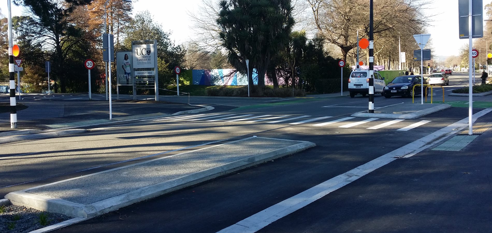
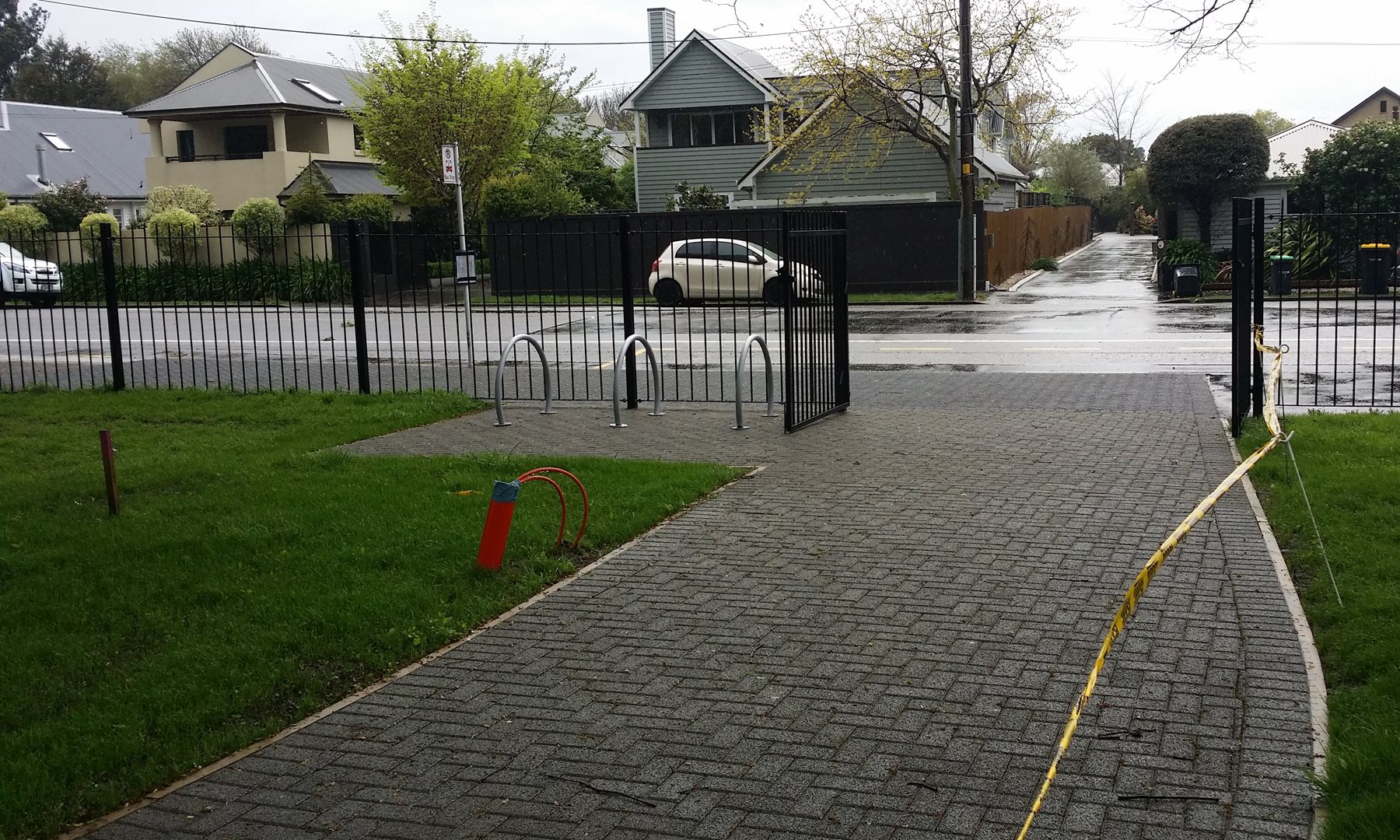
At Deans Ave, the cycleway reaches its final signalised crossing, bridging a long-time gap to connect directly into North Hagley Park.
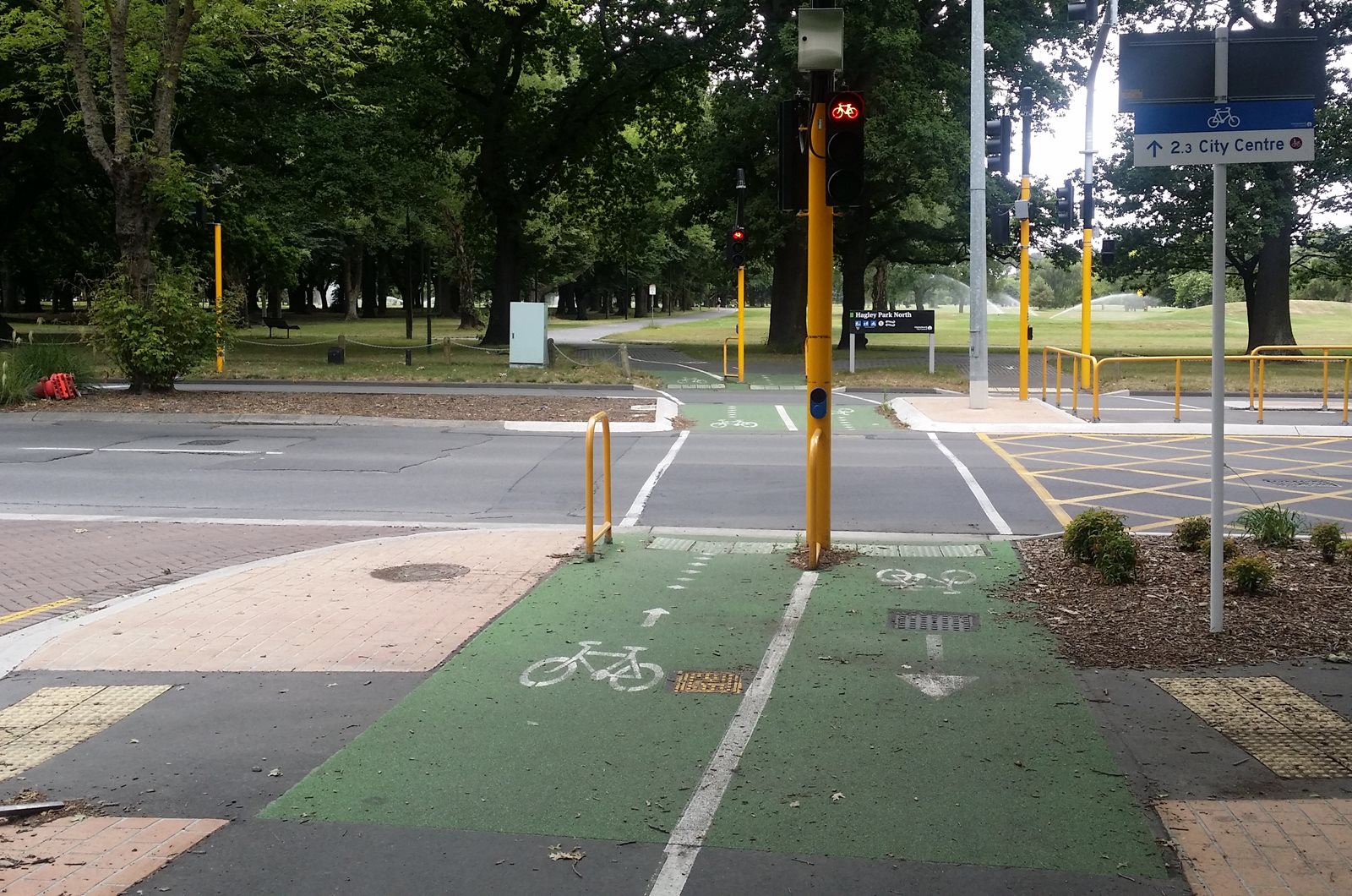
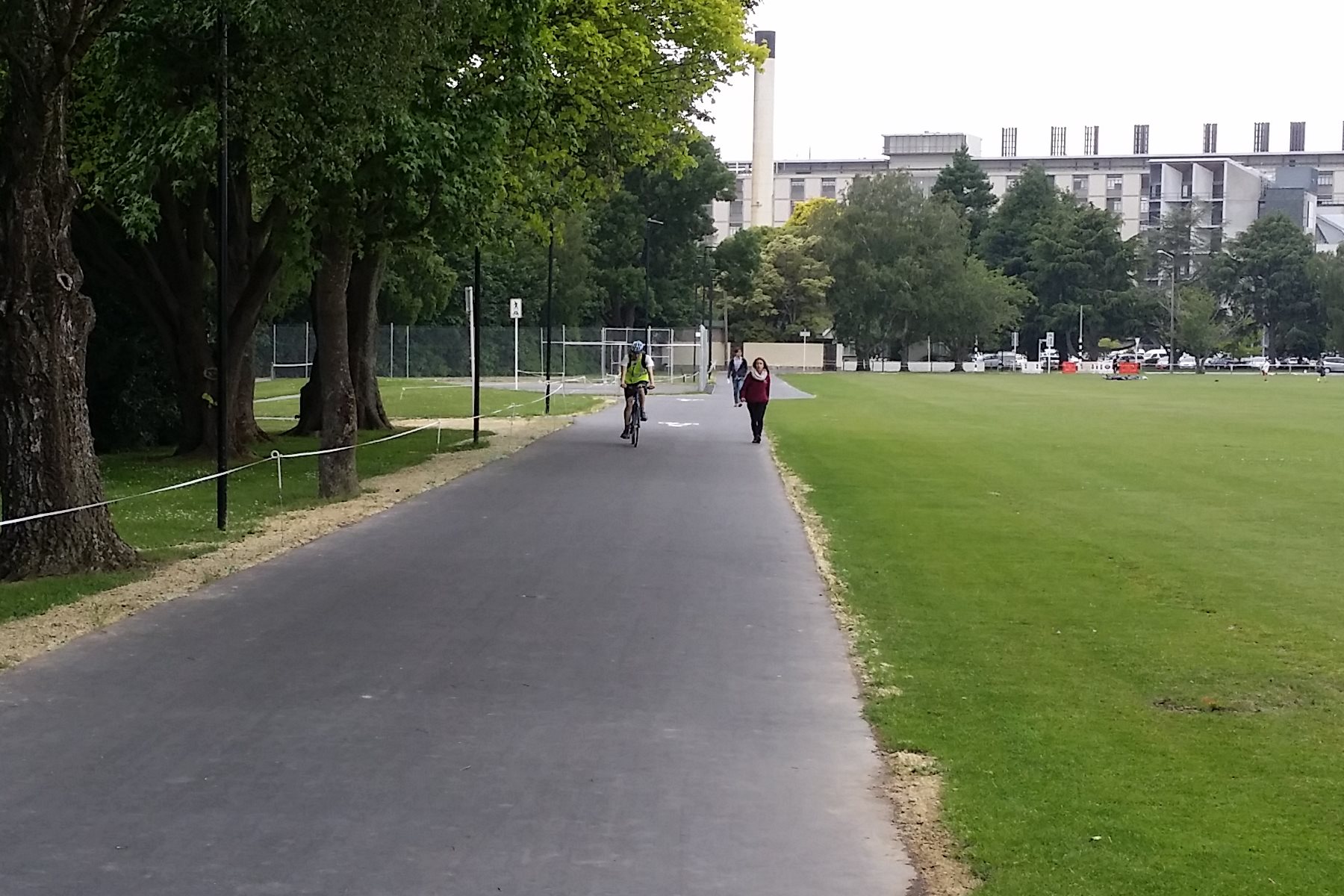
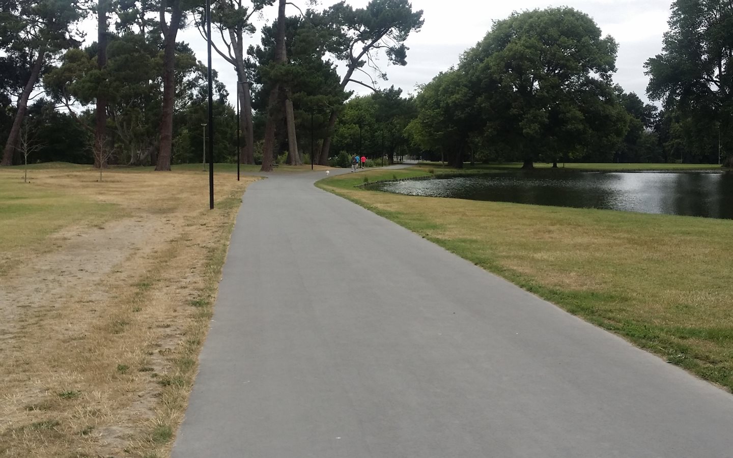
Thanks to a much improved 4m-wide shared pathway, the final leg into town winds its way through the Park, with plenty of room for all users.
So that’s the Uni-Cycle; over 5km of varied cycleway, from shared pathway to neighbourhood greenway to separated cycleway. Already cycle numbers as the route approaches North Hagley Park are regularly exceeding 1000 riders a day.
Have you ridden the Uni-Cycle route yet?
I regularly ride this route which is now much improved. The lights across Waimairi have made this crossing much safer. The zebra crossing on Ilam Road works really well, probably because of the volume of pedestrians and cyclists. The rumble strips are problematic as some cyclists are looking down more concerned about their balance than looking for pedestrians. Clyde Road into Hinau St doesn’t work well, extending the separated cycleway another couple of metres and lining up the cyclist on Hinau St better would help stop conflicts with cars and more confident cyclist who cut back onto Clyde Road then turn into Hinau on the road to avoid this bit. It works okay to the university because you are facing the turning traffic. The cycleway then works really well through to Deans Ave crossing which is now getting a bit narrow to handle the commuter volumes at certain times (a good problem to have). The only other thing I would like to see is more female commuters using the cycleway, particularly in winter when it seems to drop to around 5%.
Have they sorted out the conflict with the Riccarton market people straddling the cycle path? I made the mistake of riding down there on a Saturday morning some time last year with my daughter on behind attached to the “Trail Gator”. We were quite long with both bikes and got abuse from shoppers who were wandering around in a daze and almost walked into us (I was straddling the bike walking at the time) this was after I had politely asked them to move aside (when you are that long it is quite hard to manoeuvre). The stall holders didn’t seem to mind us wending our way through. Does anyone know why the part of the path outside Girls High has so many sharp corners? I have been down there a couple of times and most people just jump the kerbs and straight line it as I was doing, it appears to be done for walking speed not biking speed…
I ride the section from Ilam Road (heading North) to the Law car park on campus most days. Overall the path is great. However, there are some issues.
The key one is getting from Ilam Road onto the cycle path. After you cross the pedestrian crossing you hit a dogleg of a blind corner and a very narrow path. (Same when returning home). I believe the original plans had the large cabbage tree removed and the path straightened and widened. As it is now, this corner is both ambiguous and dangerous – a matter of time before a cyclist collides with a pedestrian or vice versa.
A second concern is the signage. Along University Drive, there are “Cyclists only” signs on parts of the shared path. Where are the peds supposed to go? The yellow rumble strips are a novelty- what do they mean? Is there a difference between the double and the triple sets of yellow lines?
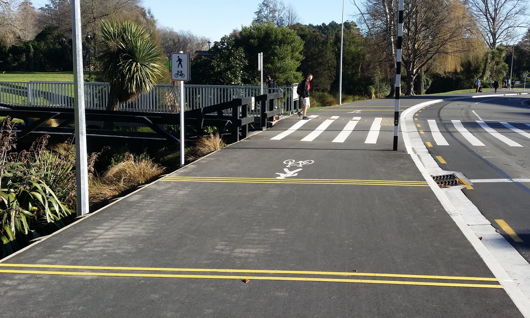
It would also be helpful if the kerbs were clearly marked (eg using yellow tiles?) where bikes can leave the cycle path to cross the road, eg ibnto the law car park. Some are, but not consistently. Oh, and there is no pedestrian crossing near the Sports centre bridge.
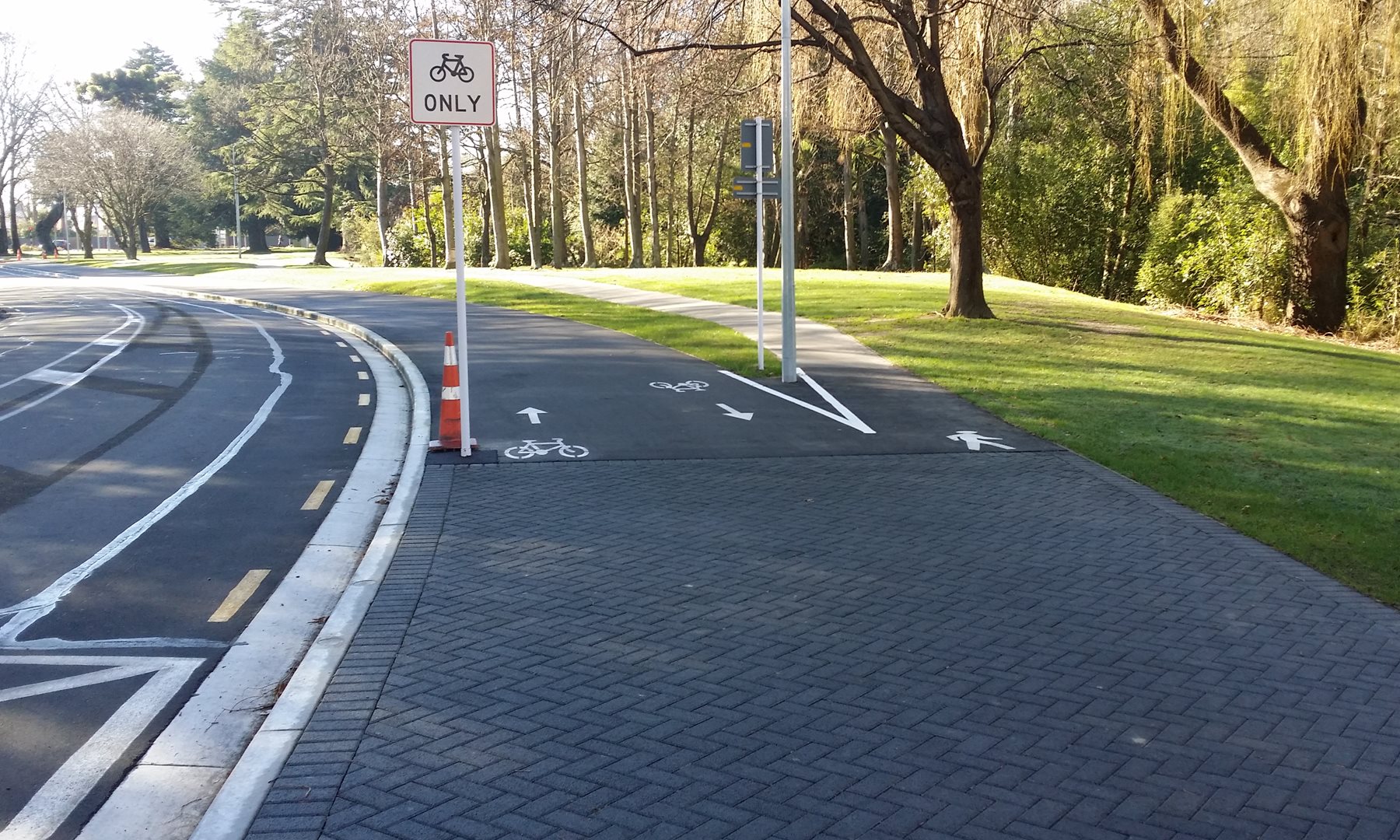
I wonder if the use of pavers wasn’t a missed opportunity. Instead of using black pavers in odd places which blend in with the asphalt, might not red or green pavers have been used to indicate pedestruan crossings, eg by the bridge to the Med Centre?
Overall, the University Drive is a welcome addition. However, it could have been even better. The devil seems to be in the detail.
Regarding the signage, I wonder whether some wag has twisted around the separated/shared path signs at the point where they split/join, hence the confusion? Have to agree about some of the sharp turns too; seem to assume that bikes can turn on a pin.