
With some nice summer weather about, I figured it was about time to go and have a good look along the Heathcote Expressway Major Cycle Route. Even though the whole route has been open for a while now and I have ridden parts of it fairly often, it’s worth showing a wider audience what it looks like.
(Warning: quite a few photos follow!)
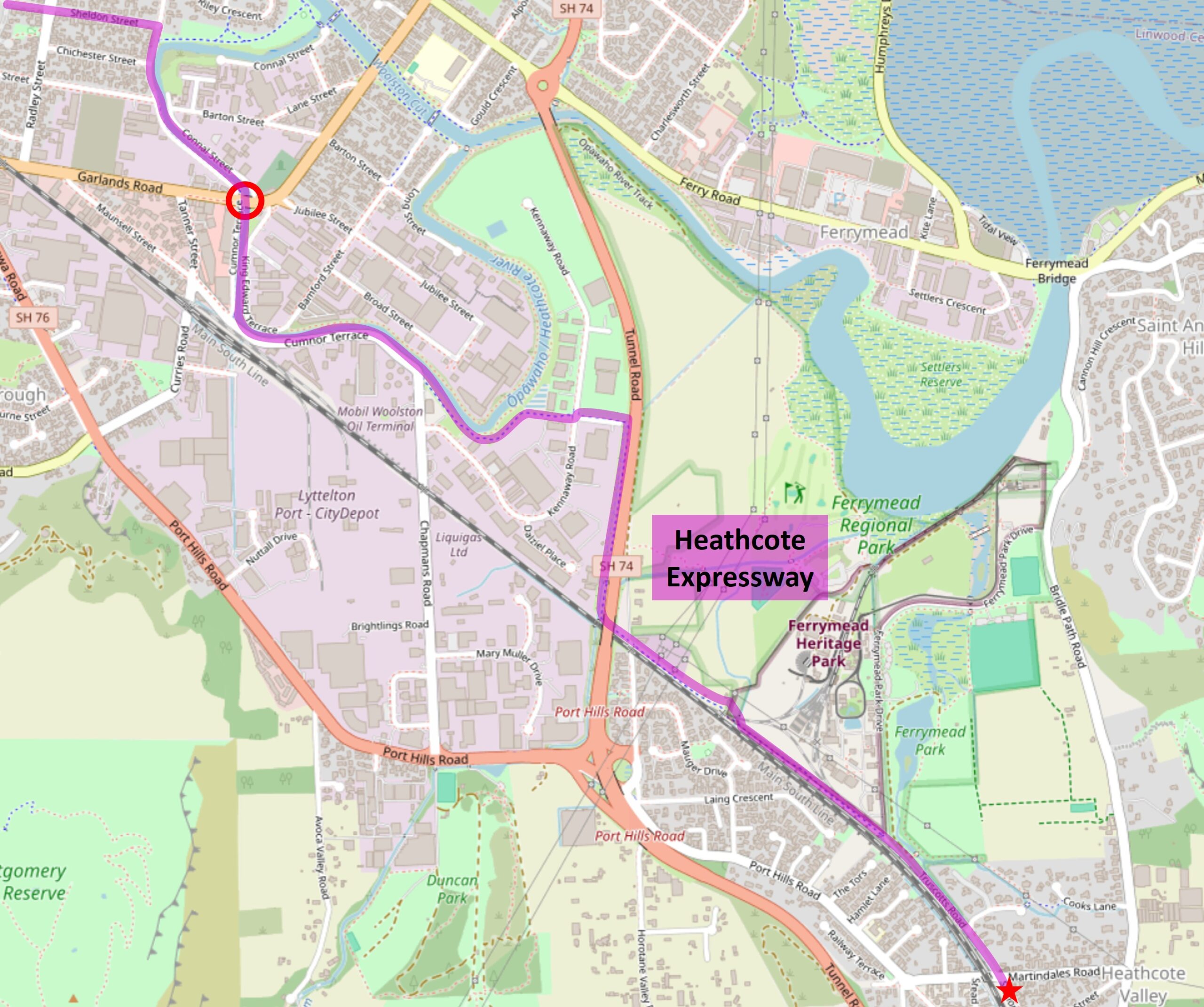
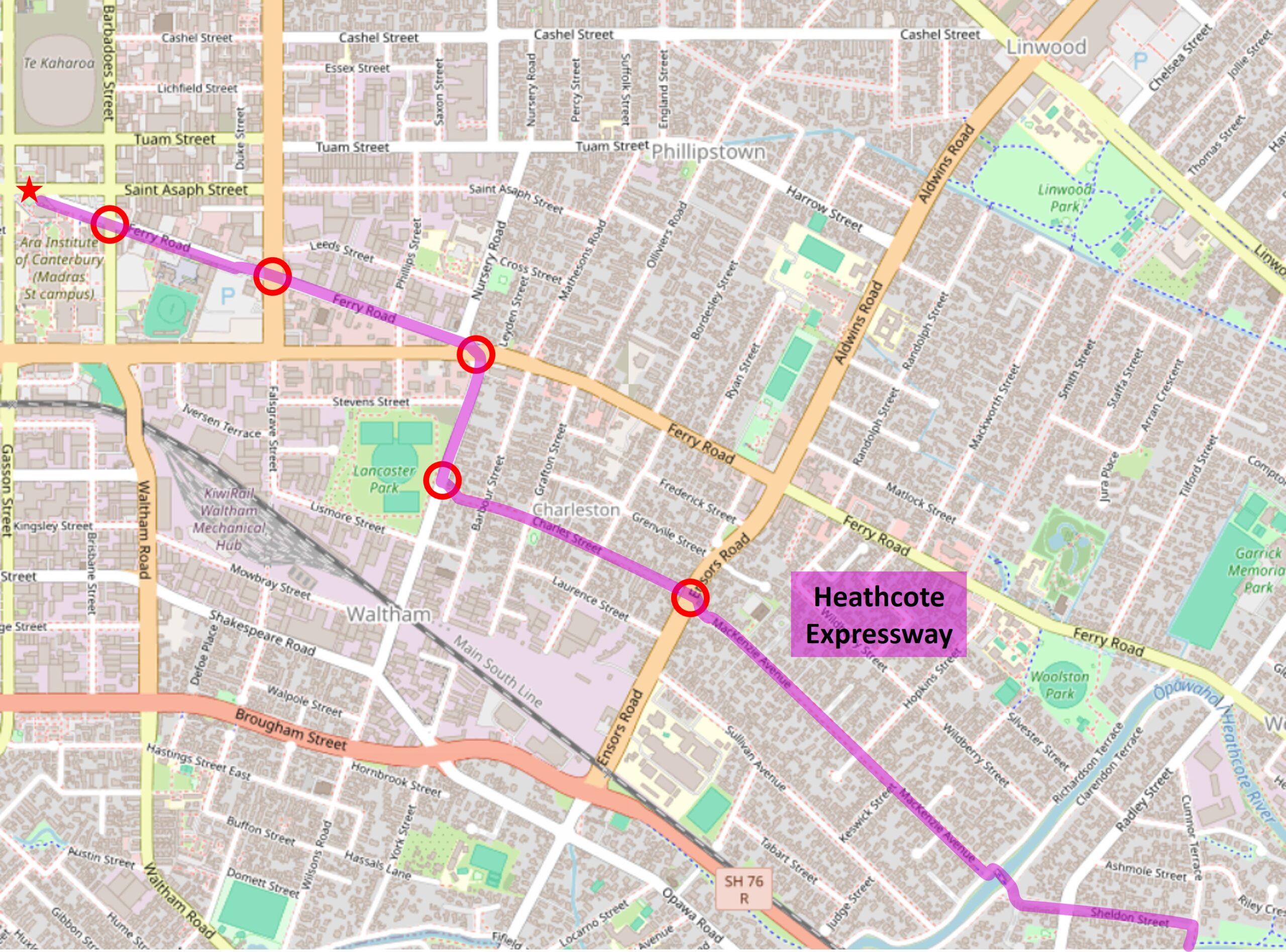
All up, the route takes in roughly 8km from its starting point in Heathcote Valley through to its terminus in the central city near Ara.
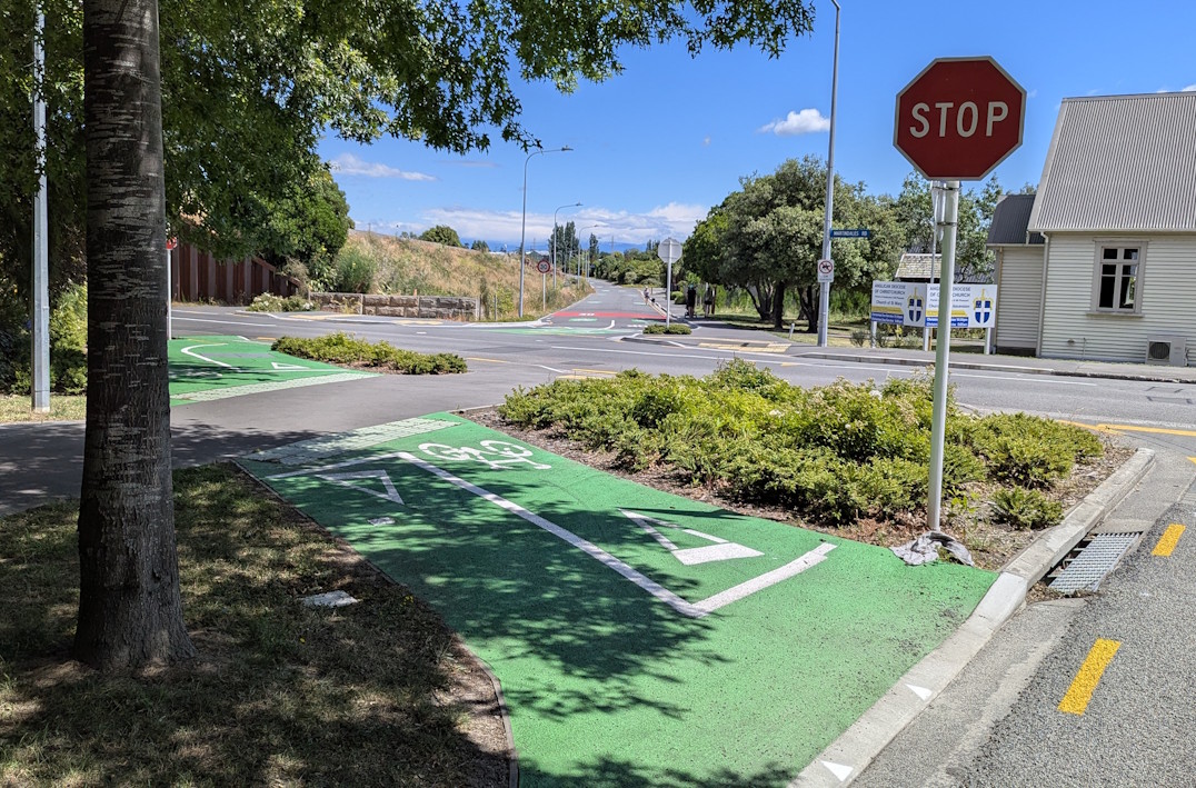
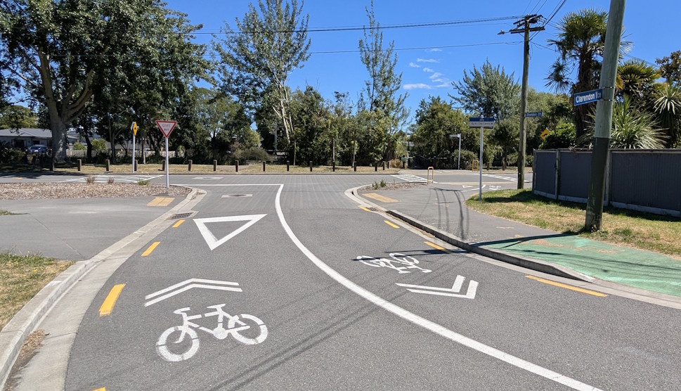
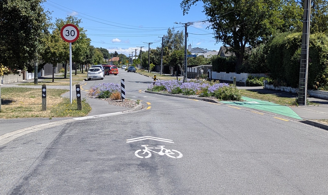
Let’s start at the southeast end, where the cycleway starts with a crossing of Martindales Rd. It then becomes a 30km/h neighbourhood greenway along Truscotts Rd.
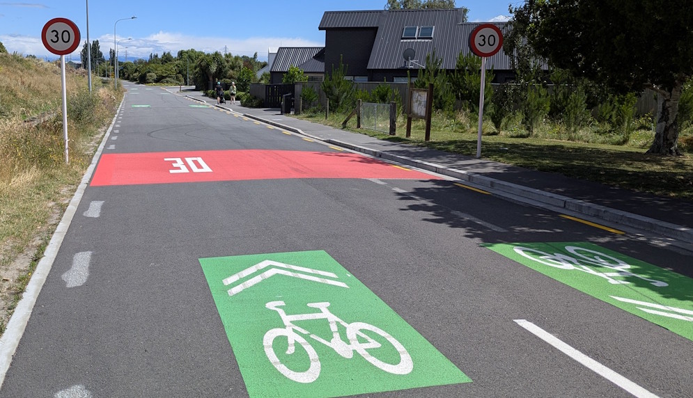
This section of road is now much improved from the potholed, unkerbed mess it used to be…
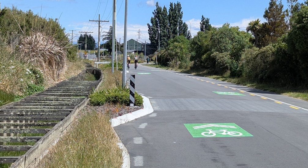
As we approach the corner (with Ferrymead Heritage Park just up the road), we jump to an off-road pathway.
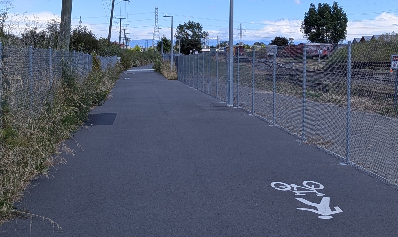
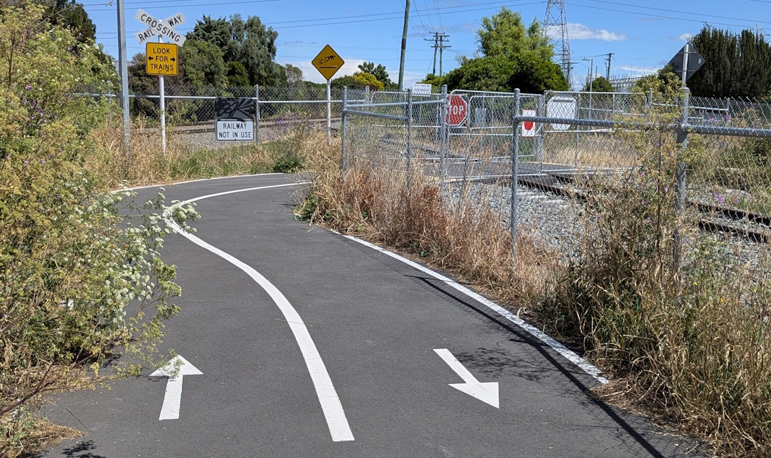
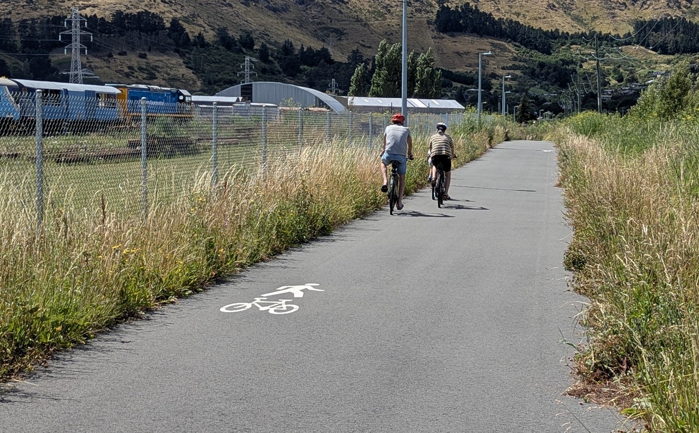
This shared pathway runs between the main railway line to Lyttelton and the Ferrymead heritage railway tracks.
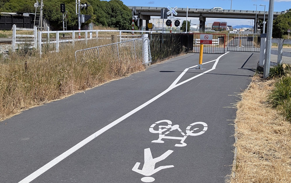
At one point you even have to cross the heritage railway lines, although for the most part they are usually closed anyway.
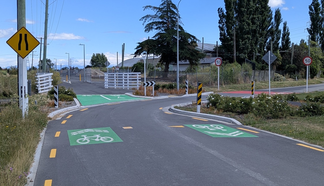
Then we get to the Scruttons Rd railway crossing, the scene of the infamous “railway safety” saga over a year ago.
After that, we head underneath the SH74 overbridge and around the corner.
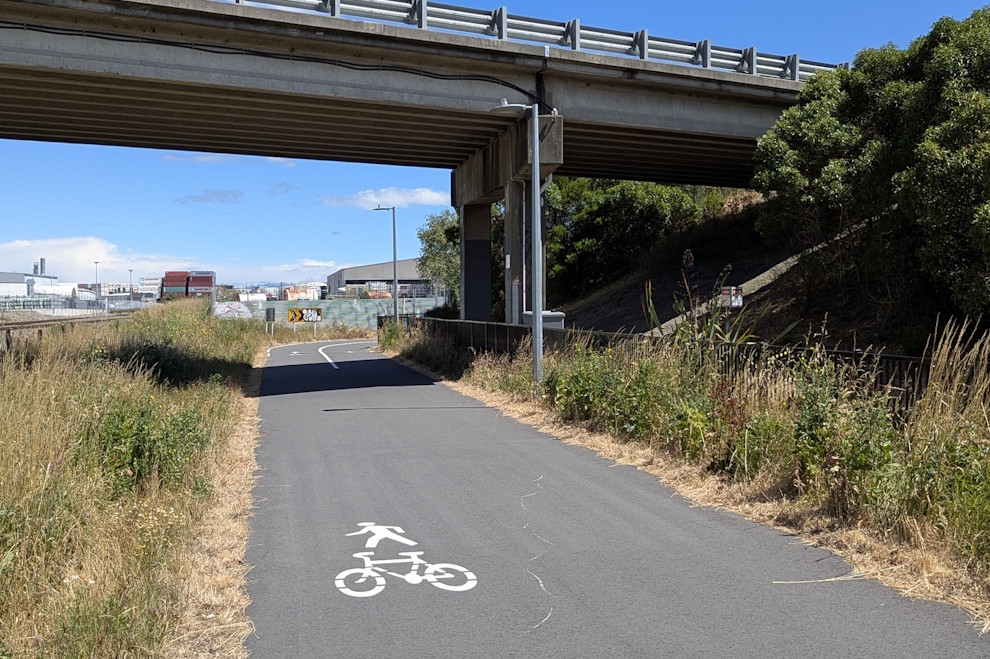
The pathway here continues to be nice and wide with good lighting.

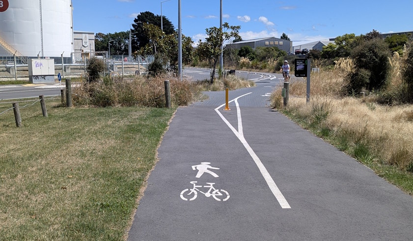
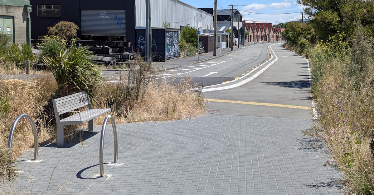
Eventually the pathway curves around to Vaila Place in the Woolston industrial area.
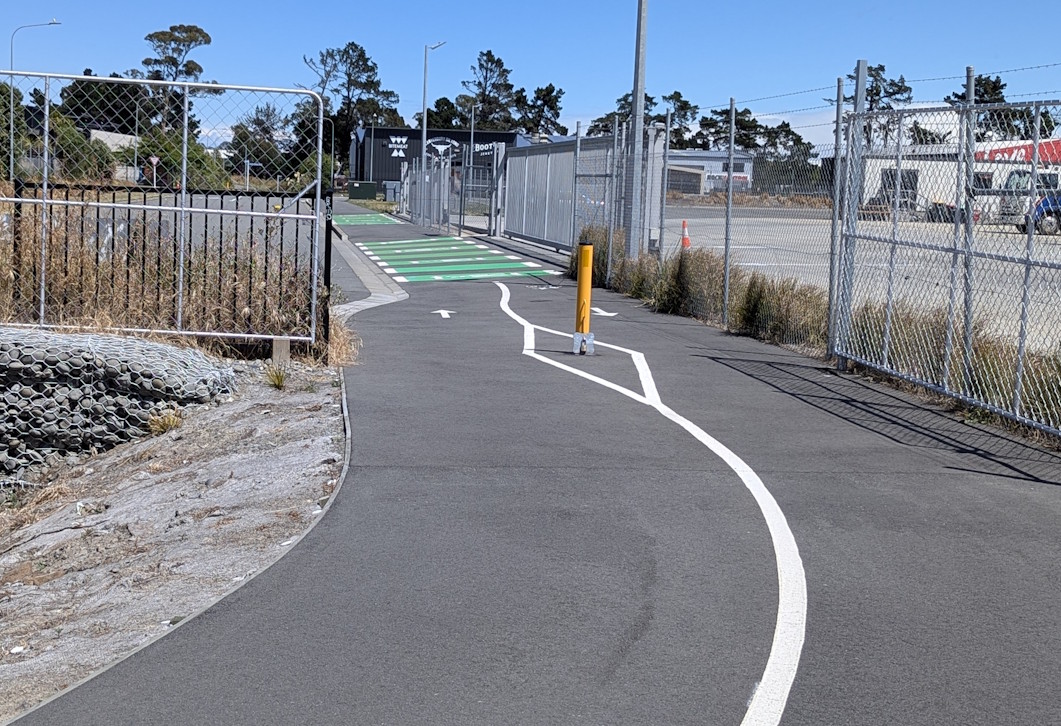
At Kennaway Rd, there is a bit of a wiggle to cross over to the other side.

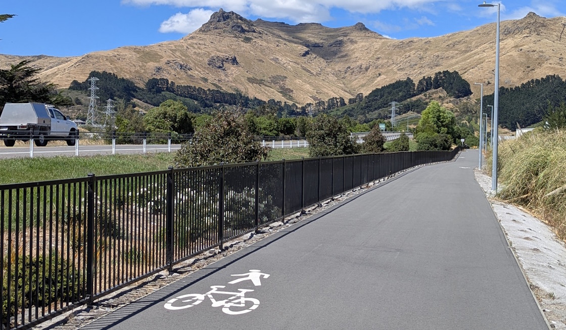
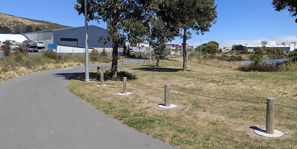
Now we’re into the Kennaway Reserve heading towards the Heathcote River.
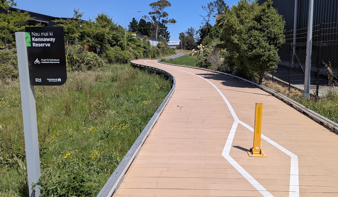
Although we’re tucked away behind the industrial area, there are good sightlines and lighting for security.
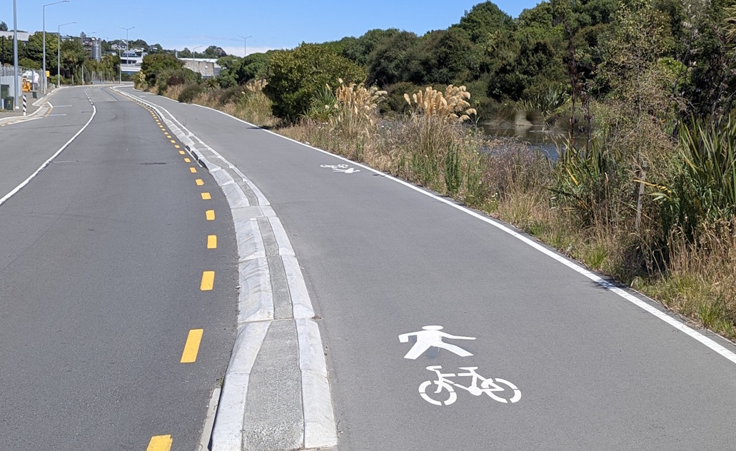
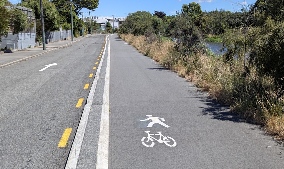
A bit further along we rejoin the road corridor at Cumnor Tce.
The shared pathway now runs between the road and the river. I like the fact that there are regular gaps for riders to enter the roadway if need be too.
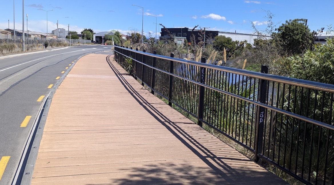
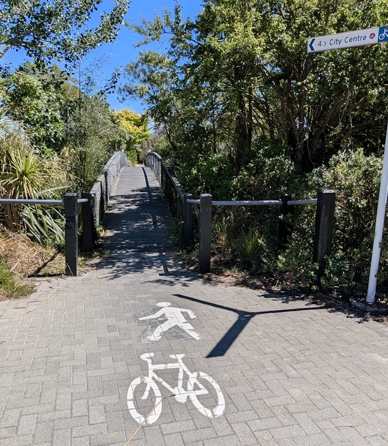
As we approach Maunsell St, there is a nice pathway bridge along the river’s edge.
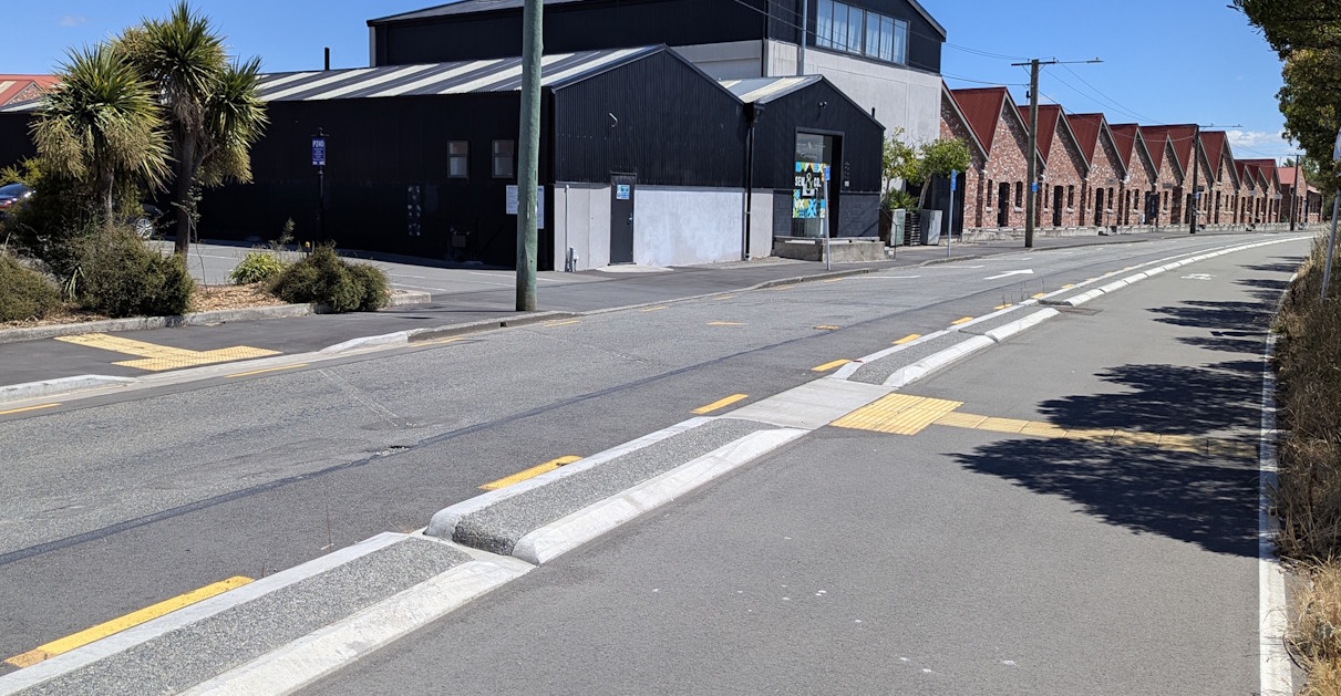
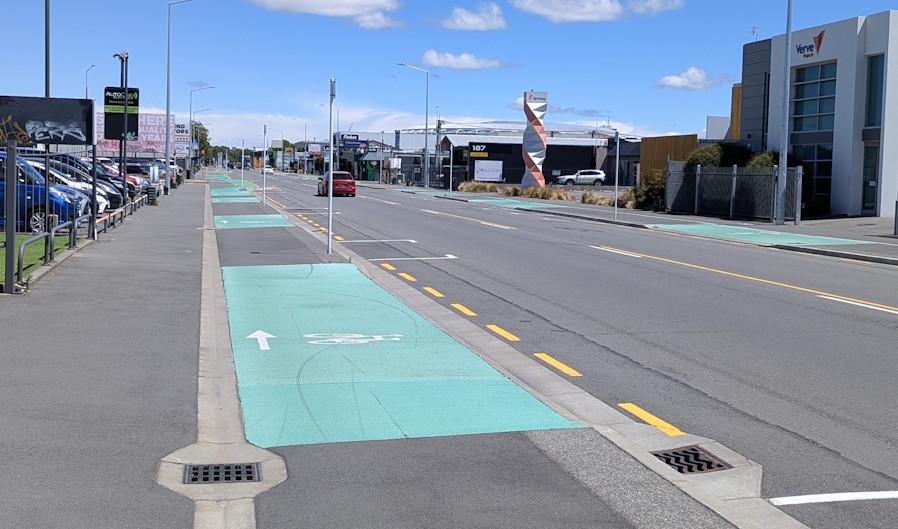
The cycleway then continues around the river bend towards The Tannery shops.
Unlike the previous pathway section, it’s a little bit annoying to not have any access points along here for entering or leaving the pathway, other than one pedestrian crossing.
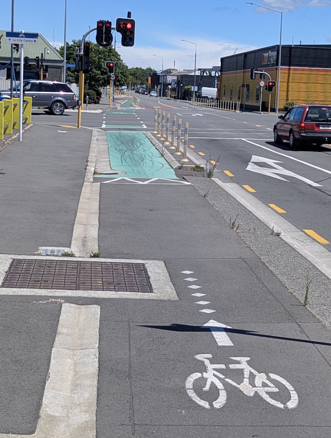
Approaching Garlands Rd, detectors will trigger traffic signals to let you cross over.
Then it’s back to more separated pathway – again with no real gaps in the separators…
As we reach Marshall St, the separated pathway becomes a 30km/h neighbourhood greenway again.

If you want to explore Radley Park, there is a side path connection a bit further up.
Around the corner we go and into Sheldon St; still a neighbourhood greenway.
How are we doing so far? Because we’re only about halfway…
Continuing along Sheldon St: at Radley St, motor traffic is restricted to left in/out – but cyclists and pedestrians can still cross straight ahead.
As we reach the Heathcote River again, the greenway steers riders towards the existing bridge.
At some point in the future, there is a plan for a wider, more direct ped/cycle bridge to be built just upstream. But for now…
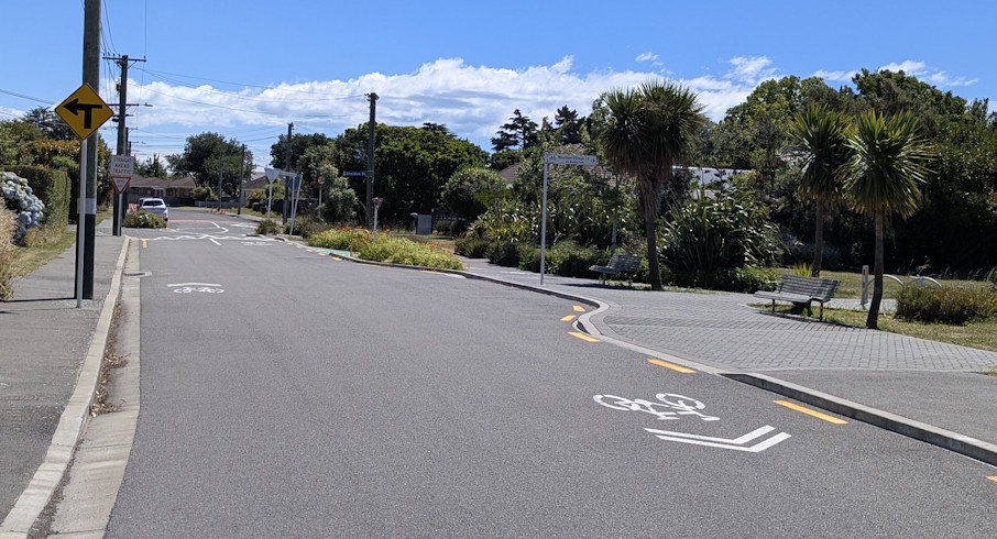
Another zigzag on the other side leads you into Mackenzie Ave.
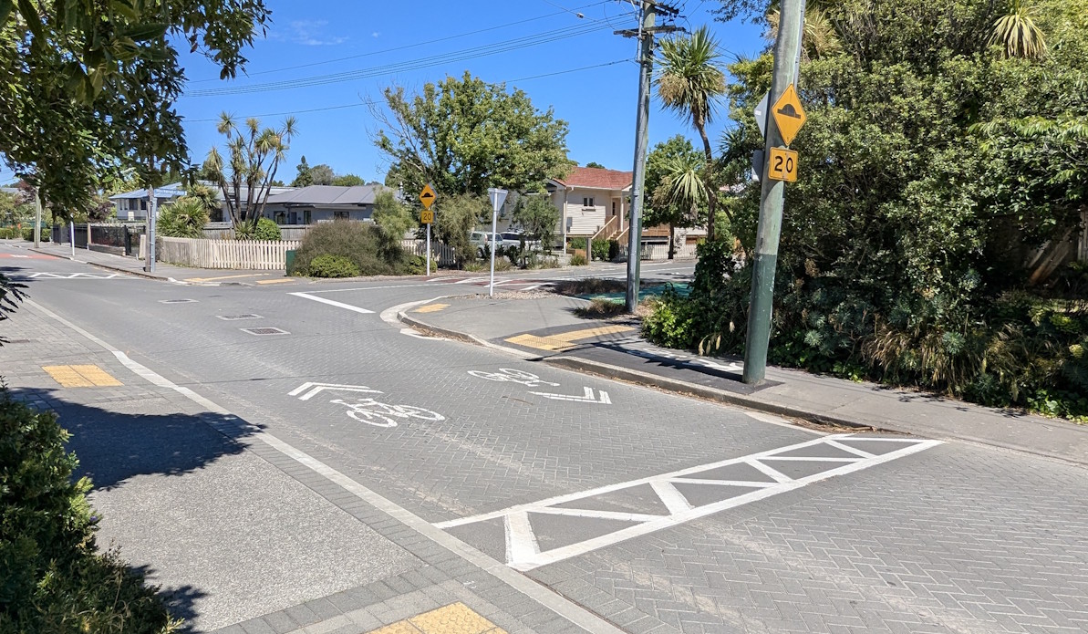
This route continues as another 30km/h neighbourhood greenway, with humps to manage speeds.
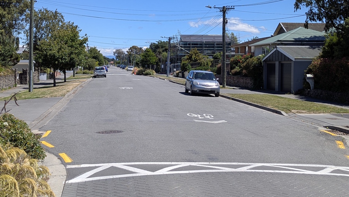
Midway there is even a single-lane pinch-point with bypass options for the less confident riders.
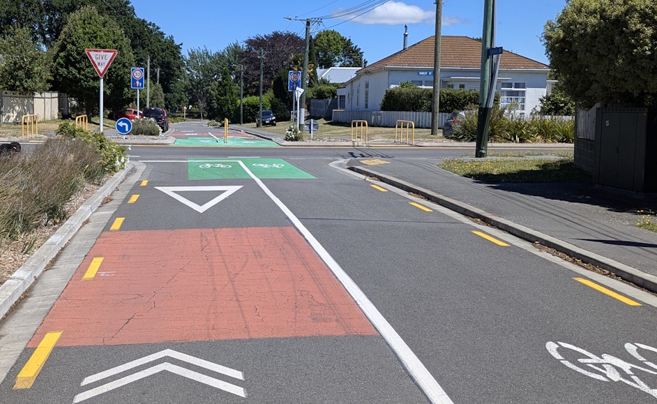
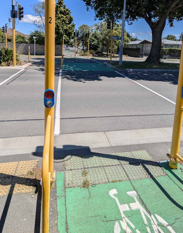
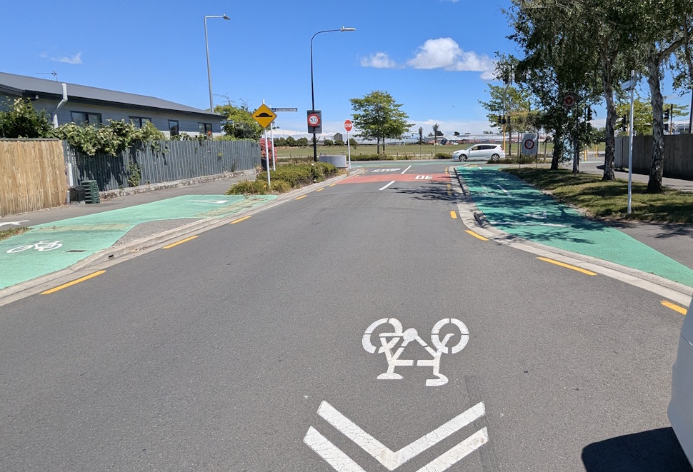
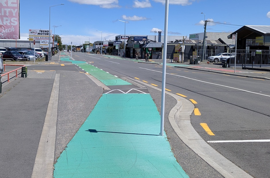
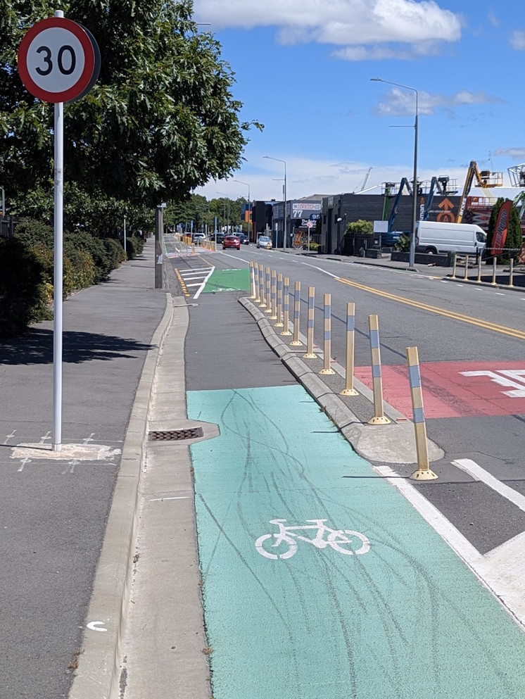
Approaching Ensors Rd, the cycle route heads off-road to a shared pathway.
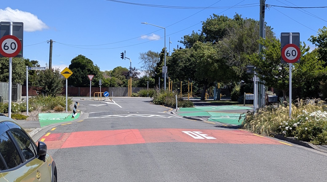
Detectors on either side of the signalised crossing at Ensors Rd provide a fairly immediate response for getting people across this busy road.
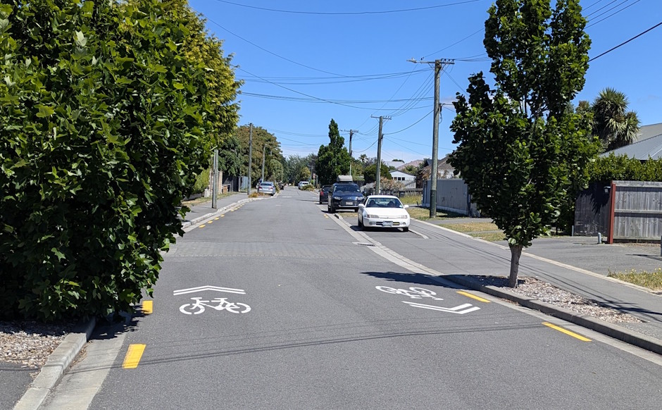
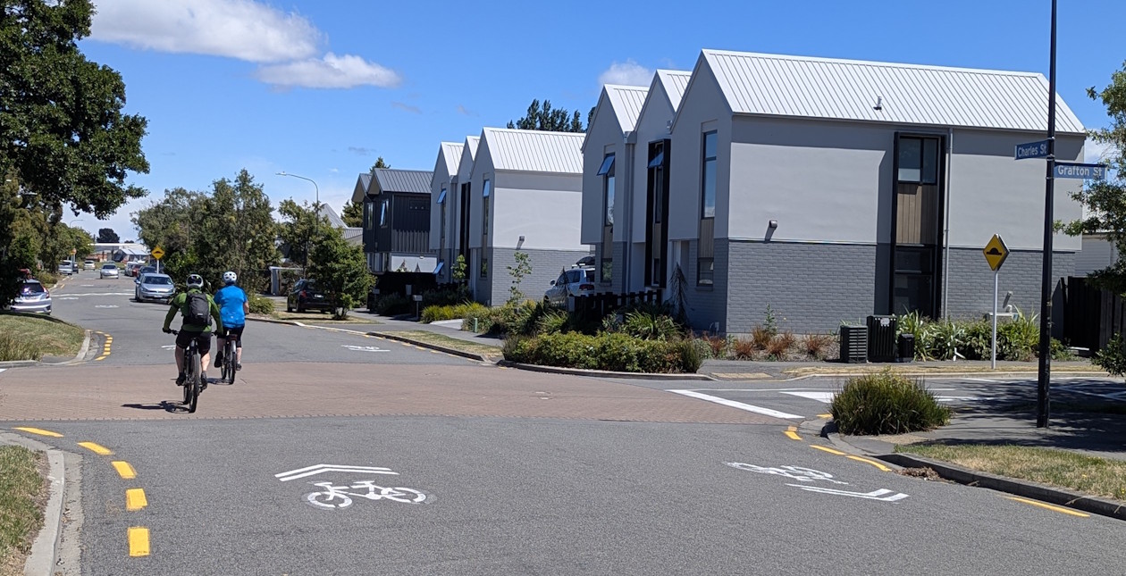
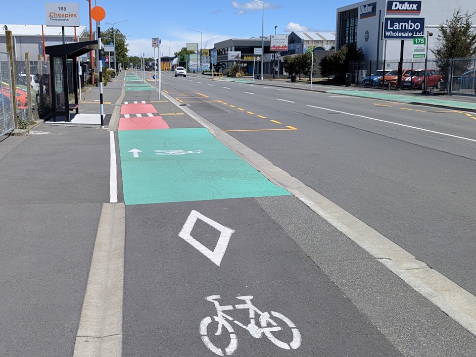
Now we’re into the suburb of Charleston, with the pathway connecting to the end of Charles St.
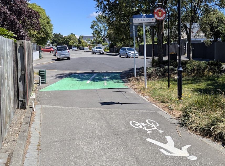
Again, this route is a 30 km/h neighbourhood greenway, making for a friendly cycling environment.
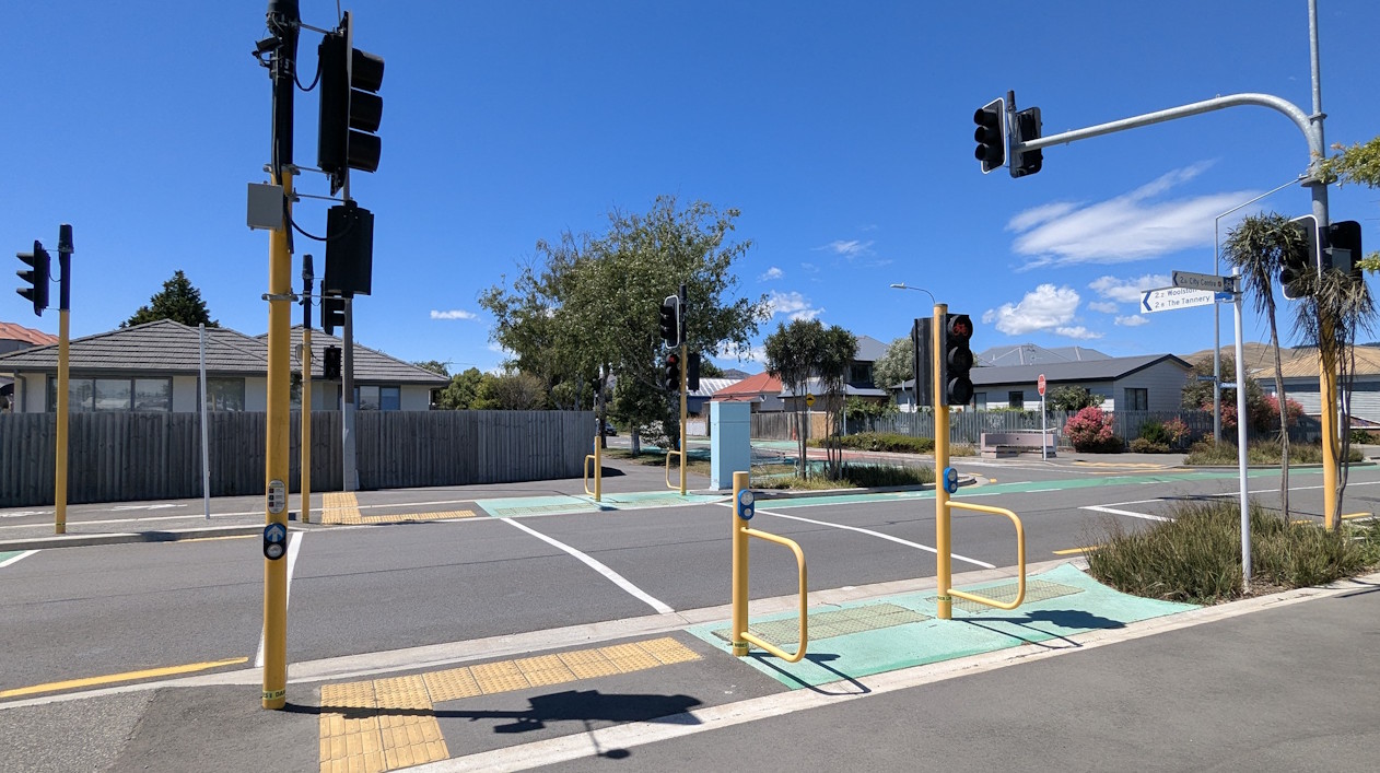
At the western end, the cycle route again jumps onto a shared path leading up to a signalised crossing (for those heading into town at least).
The crossing helps those getting over to Lancaster Park. For those heading away from town you are already on a separated cycleway.
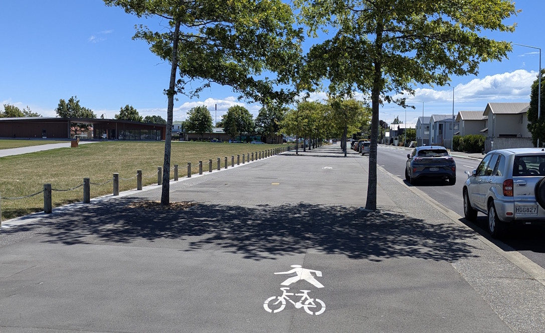
Alongside Lancaster Park is a nice wide tree-lined promenade.
Then it’s briefly back to being a separated cycleway across Stevens St…
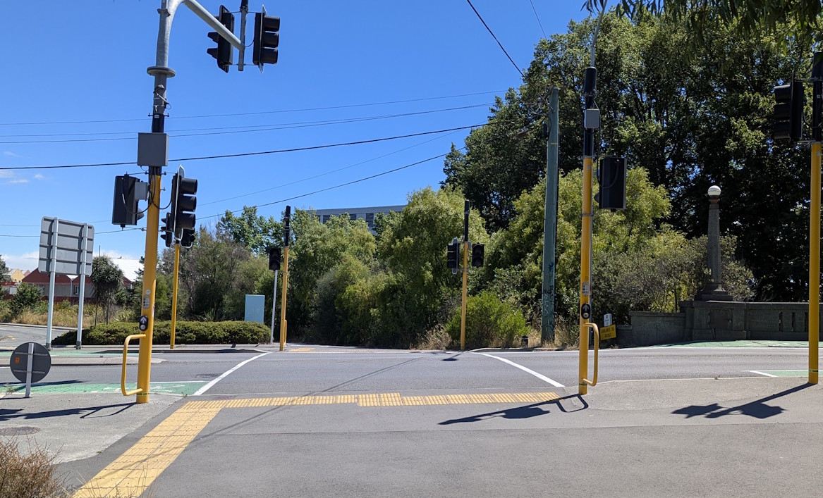
And cycle signals help get you across Moorhouse Ave (sadly you have to push a button for those ones).

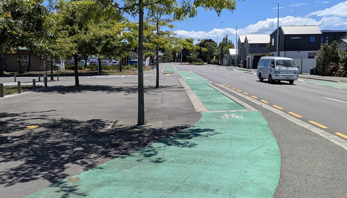
Along Ferry Rd, the cycleways on each side are up behind the kerb by the footpath but separated at least.
You are directed back on road at the side-roads however.
Even the bus stops along here are cleverly designed to separate the cycle space from the passengers.
Approaching Fitzgerald Ave, cycle detectors again give you the opportunity to cross with the bike signals.
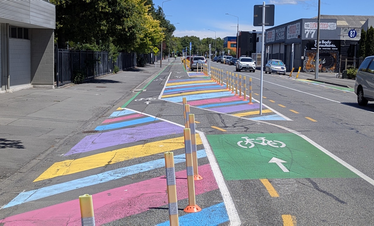
Once on the other side, the one-way separated cycleways last for a little while…
…before converting to a two-way separated cycleway that was originally part of the Innovating Streets trials.
Once you cross over Barbadoes St, you are now officially into town!

So that’s the whole route in all its glory – a mixture of separated pathways, neighbourhood greenways, and separated cycleways. As well as a useful commuter route, it can also be quite a pleasant recreational ride as well.
Have you ridden the Heathcote Expressway yet?
I ride this quite often recreationally. I think it’s my favourite Major Cycle Way as the surrounding traffic is light and the route is interesting and duverse. Also the possibility of trains of course! Can always link up to the Rapaki Cycle way for a bit of round trip variety!
For a professional/amateur/parodic promotional perspective, try this version.
https://youtu.be/ckykwZpjtOE?si=2l51En-pIuxf3Qg2
That’s a great video. Thanks for sharing. I’m going to send it to my family overseas so they can see what a fantastic place we live in. PS I have cycled all of this route and love it.
+1 for “Lancaster Park” !