
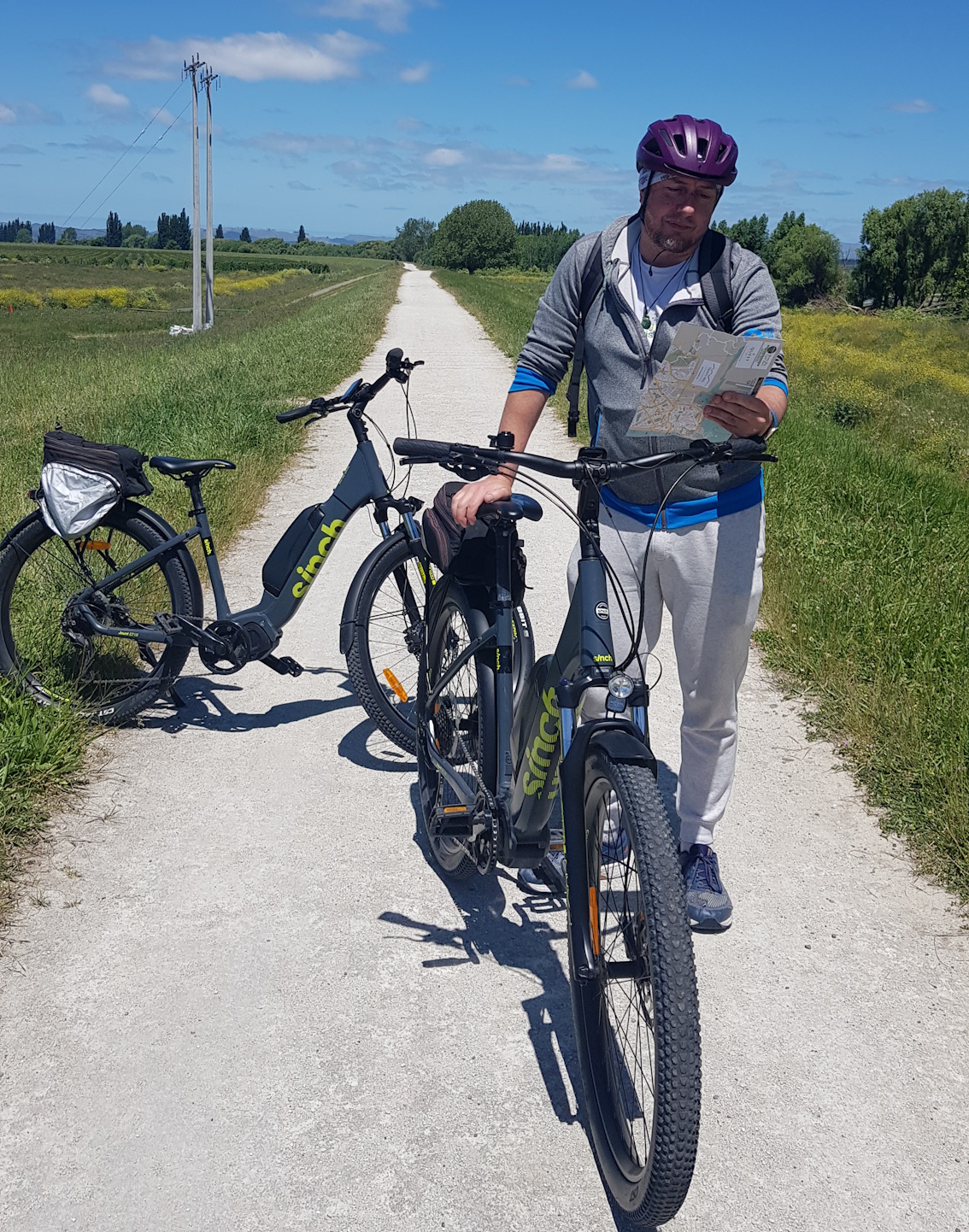
So I was up visiting Napier a few weeks ago (the Robbie Williams concert was great by the way…) and while up there, my partner and I took the opportunity to check out some of the cycleways around the city. We grabbed some e-bikes from Napier City Bike Hire for half a day and had a look around.
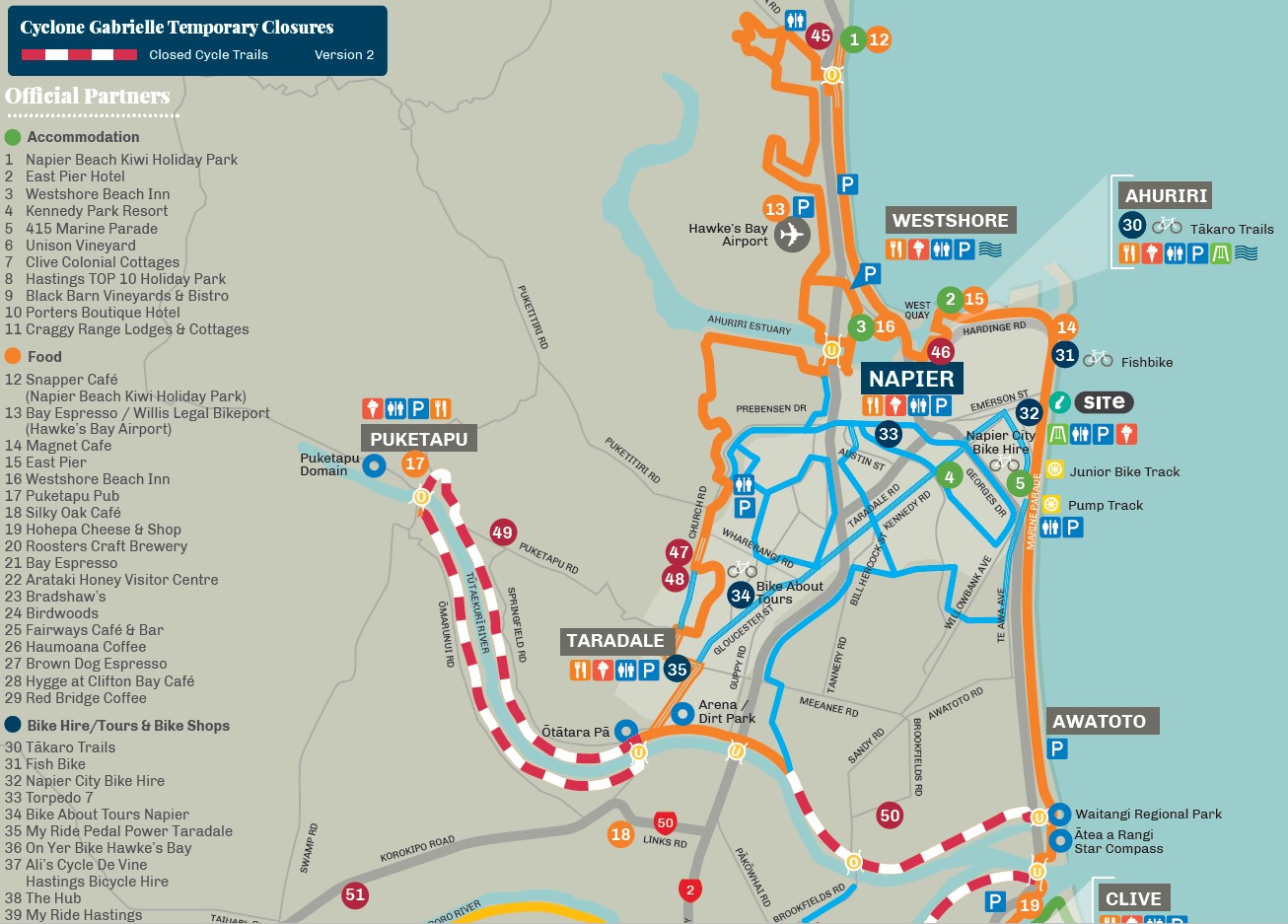
Many of you will recall the fairly major devastation affecting parts of Hawkes Bay from Cyclone Gabrielle back in February. While we were there we got to travel to see some of the damage from silt and mud still present in the Esk Valley, and it was very sobering – looking rather like parts of Christchurch post-quake actually. The rivers between Napier and Hastings also took their toll, with major damage to most bridges and also the pathways along the stopbanks.
This potentially presented a challenge to our plan for a simple clockwise loop around the outskirts of Napier. In the past we could have just biked down the Marine Parade foreshore to the Tutaekuri River mouth and then followed the stopbank path upstream. However, we weren’t quite sure how far upstream now we might need to rejoin the stopbank, so we braved Awatoto Rd (stopping for a quick drink at the lovely Filter Room Ale & Cider House…) before diverting for the river about halfway along Meeanee Rd.
Evidently they had made good progress restoring the limestone path by then, so we were then able to join it and head upstream towards Taradale. The path was of good quality with a solid surface.
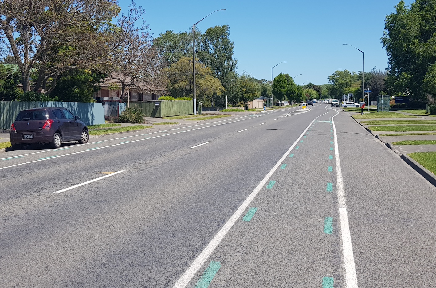
The next challenge was when we got to Taradale – the pathway ended at the Gloucester Rd, so where next? The map we had seemed to imply a cycleway alongside the road. After a little bit of trial and error, and reviewing our map, we figured that they actually meant the painted cycle lanes on the road…
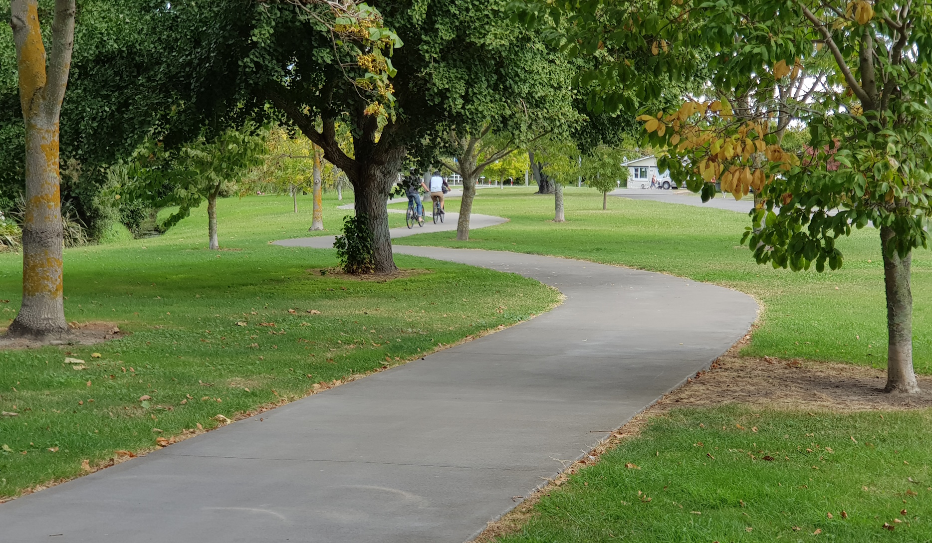
Into Taradale town centre, we then had to find our way to the next pathway section. Signage wasn’t obvious but, again thanks to the map, a couple of street turns and we were following a pleasant (albeit wiggly) path alongside a stream.
This popped us out on Church Rd where (after another little detour for some food and drink at Church Rd Winery…) we followed the road, thankfully already closed to motor traffic ahead of the Robbie Williams concert, north until we found an adjacent pathway restarting. This eventually led us to the “Water Ride” path heading around the upper reaches of the Ahuriri Estuary.
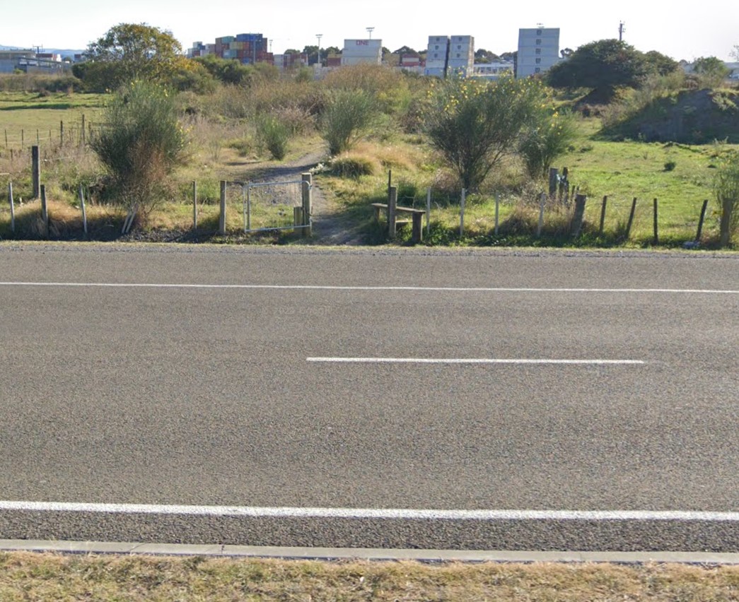
This pathway features some interesting underpasses beneath the state highway and railway at the water’s edge. Then things got a bit weird: our map implied that we couldn’t just follow the path around the estuary edge; that was for pedestrians only. No worries, there was a wide sealed old roadway to follow instead… hmm, until it crosses the railway line lacking an actual crossing… and now it’s getting a bit unsealed and narrow… next thing we know we’re negotiating a gravel track hemmed in by vegetation before it finally spits us out onto busy State Highway 50!
It turns out that the “official” route should have required us to cross over the Ahuriri Estuary (i.e. heading north, not south) then follow the water’s edge and cross back over again at Pandora Rd to get back to the city side – OK… A couple more detours up some side streets and we managed to end up at the same spot anyway, riding past the bars and cafes of the Ahuriri Basin.

It was hard to get too lost after this, just following the pathway around the waterfront, past the port, and back to Marine Parade and our bike hire place, with a little over 37km clocked up for our troubles.
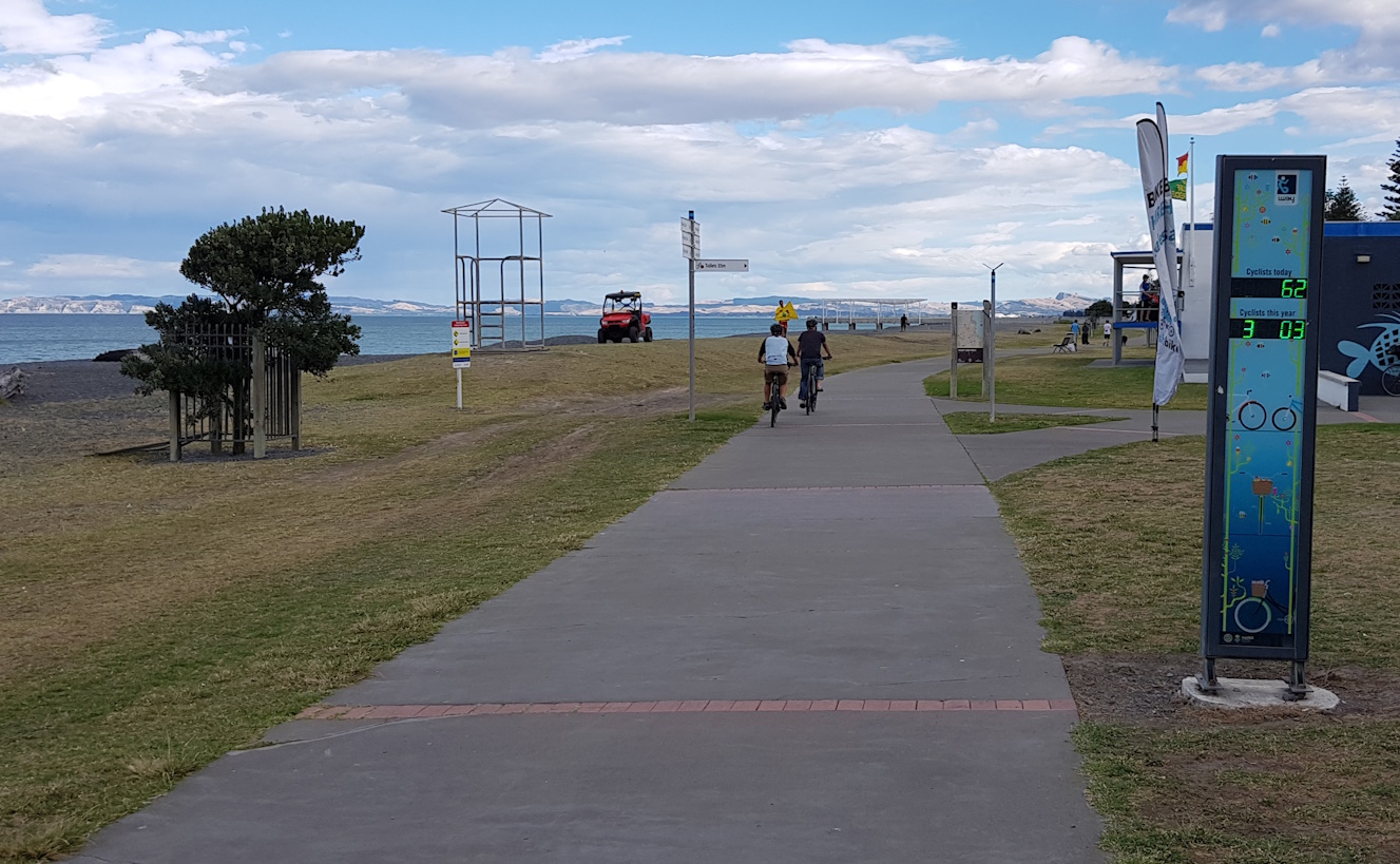
So what was my impression of the cycleways around Napier? There’s a fairly impressive collection of on-road and off-road bike facilities being built up, including those for recreational purposes and those that are more utility in nature – great stuff!
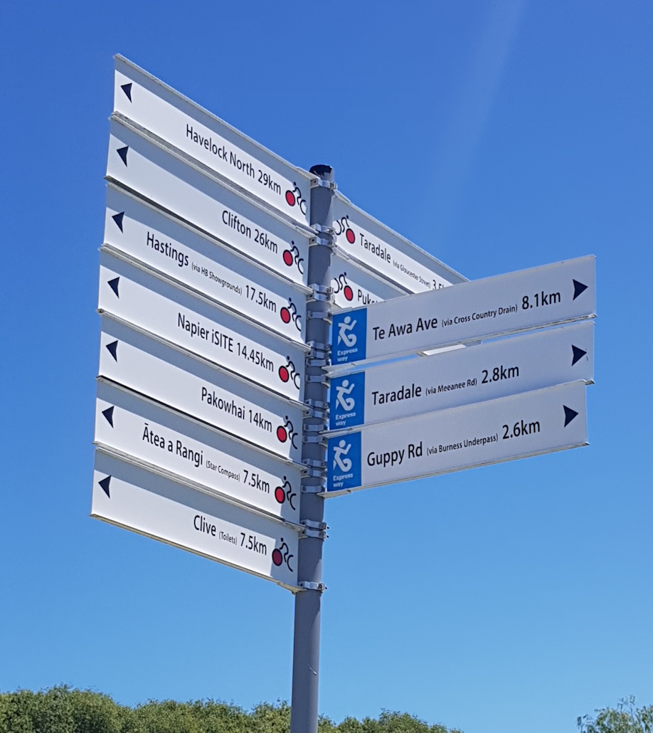
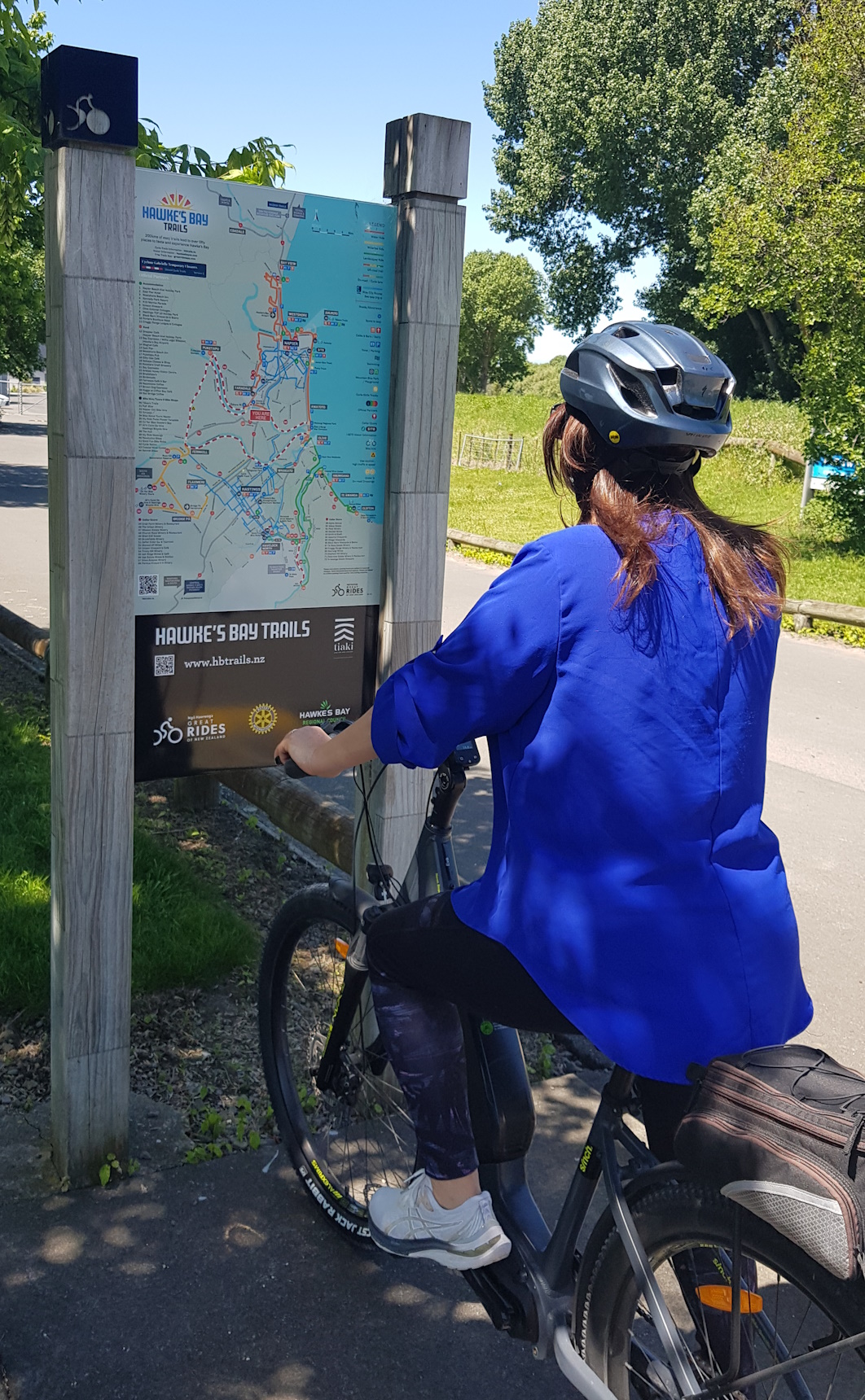
As for navigation – well, it varies at present. I pride myself on knowing my way around new places just with the help of a map and a sense of direction, but even I was stumped a couple of times. Along our travels, we regularly came across sets of directional fingerboards, and even full map-boards, which certainly helped. But sometimes it was knowing when to put in a crucial directional sign just when you were wondering where to go to next.
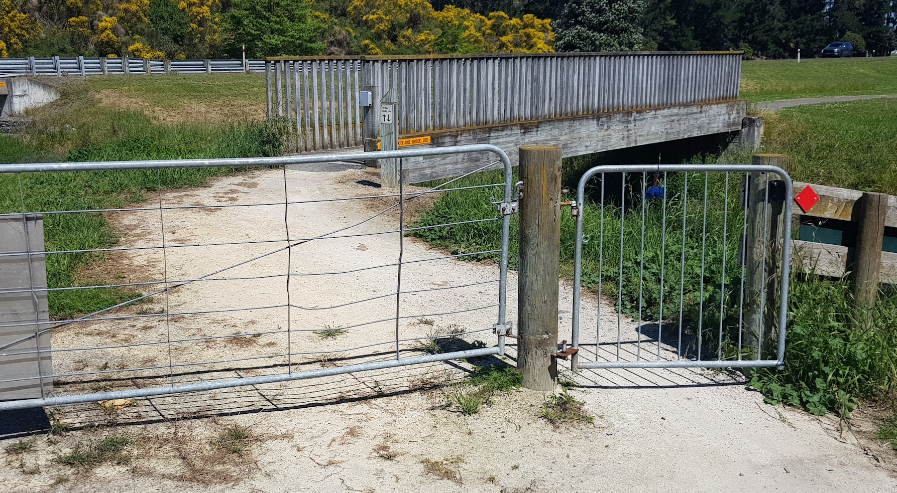
The other curious thing I notice about the pathways in Hawkes Bay are their choices of barriers at the road/path interfaces. In places like Christchurch, I’m used to having simple central bollards (if anything) near path entrances – indeed, there is national best practice guidance on this stuff. But riding around Napier, I came across:
- So-called “banana bars”, that just serve to squeeze two approaching bikes towards each other (often not successfully, judging by the rubber marks on the railings…)
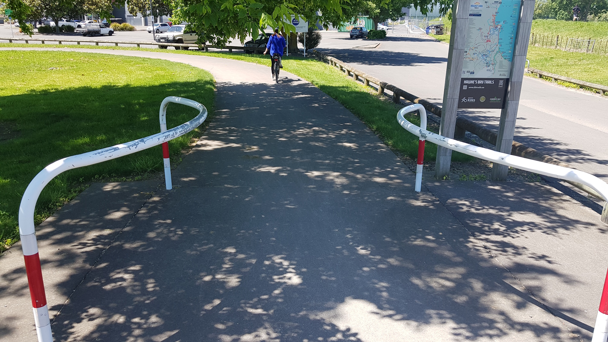
Very tight mazes (or their “kissing gate” equivalent) that would be very difficult for any long bike to get around
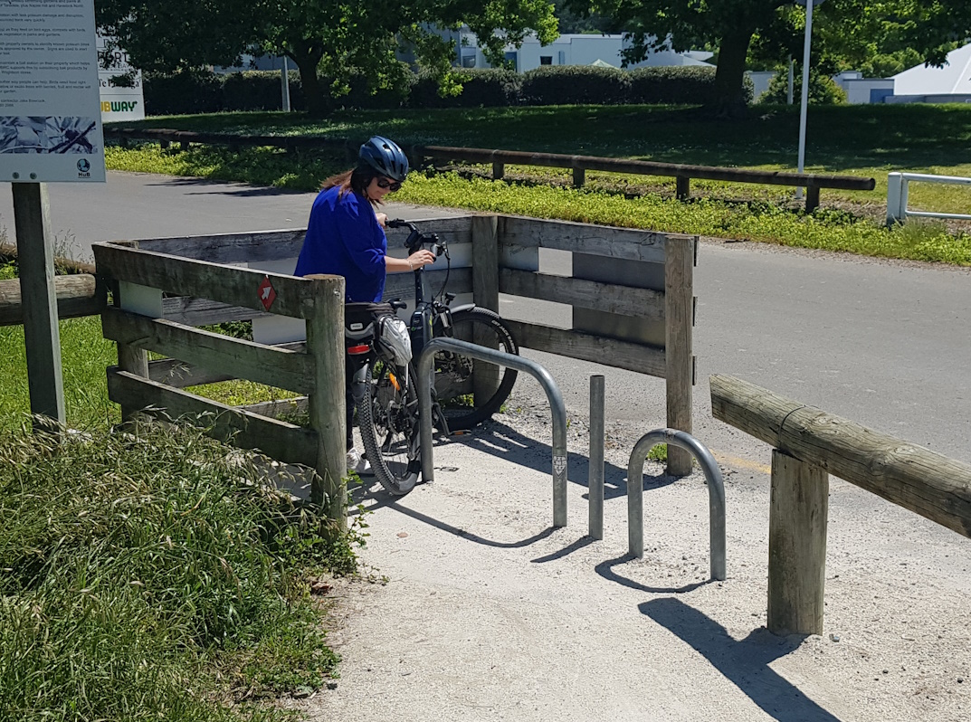
NZ Cycle Trail-style squeeze points that would be challenging if you had some decent-sized panniers and bags to ride through with
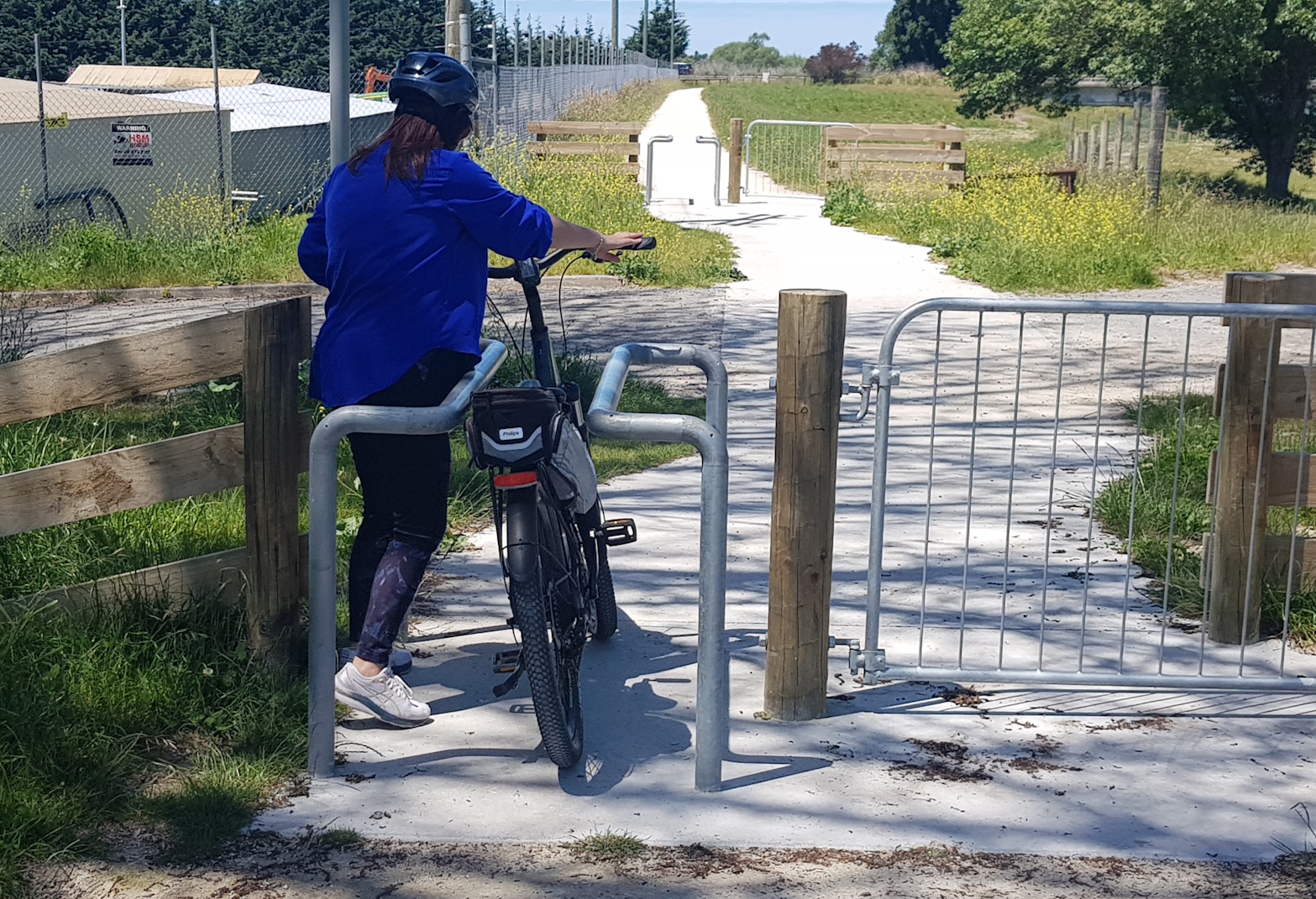
Certainly a number of these path termination points could do with some serious rethinking, to make these wonderful pathways in the Bay just a bit more accessible to everyone.
Have you biked on the cycleways in Hawkes Bay? What did you think?
My wife and I ride recumbent trikes as my wife has had three back operations and cannot use a bicycle. We have toured thousands of kilometers on our trikes in New Zealand and in Europe. Often we cannot use the trails in the Hawkes Bay as there are kissing gate barriers or squeeze barriers that prevent us from entering the trails. It is extremely disappointing to find that disabled people can’t cycle some of the trails because of the barriers. Please change the barriers to something that won’t exclude the machines that the disabled use.