
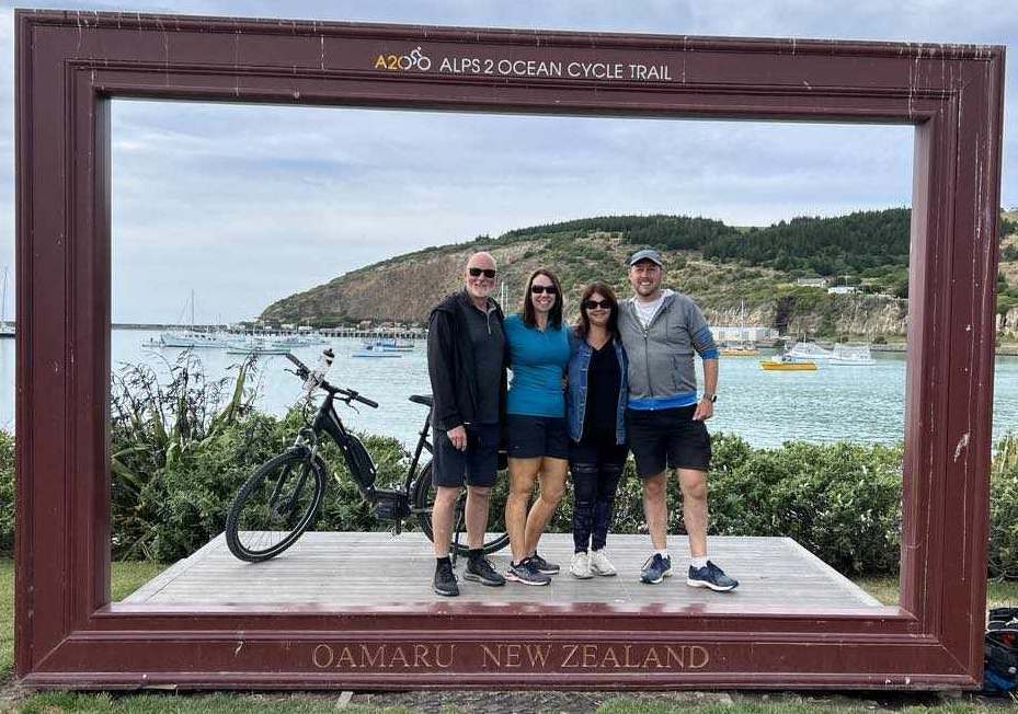
As I foreshadowed a while back, my partner and I recently completed the Alps 2 Ocean Great Ride in early February with a couple of friends. This cycle trail is the longest of the Great Rides in the country at a bit over 300km, which people typically take between 4-8 days to complete it in (although apparently there are even some crazy buggers who have done the whole thing in one day…).
So it proved to be one of those rides that I am grateful to have done, firstly because of the amazing scenery, and secondly because I’ll hopefully never have to do it again…

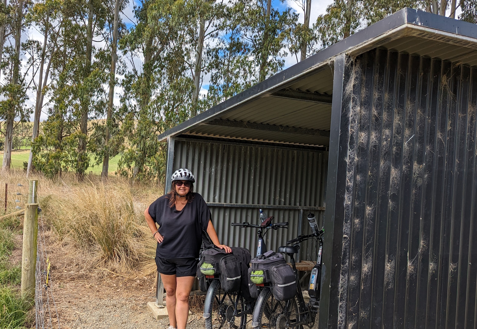
We chose the six-day option, with all the logistics organised by the wonderful people at Cycle Journeys, which made for a few long riding days in between the shorter ones. It did mean though that we had well-equipped e-mountainbikes for the journey, our luggage transported between overnight stays, and lovely accommodation along the way. I did feel a bit sorry for the few keen souls I spotted on their unpowered bikes and often also lugging all their wordly possessions with them…
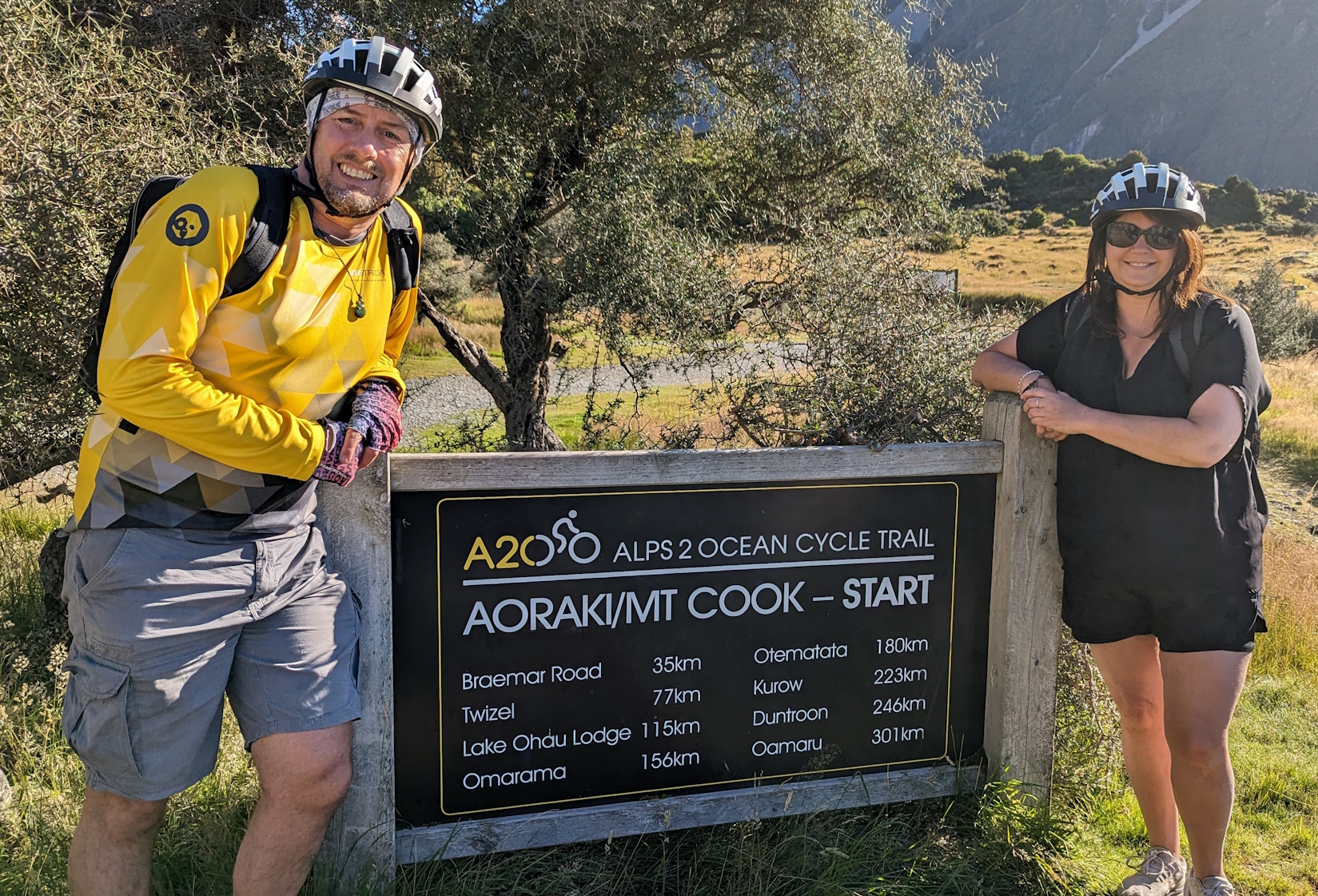
We elected to start at Aoraki / Mt Cook village, which meant the bonus of a short helicopter ride to get across the wide Tasman river feeding into Lake Pukaki. It also meant though some fairly rough riding on the bumpy gravel trails and roads that wind around the first part of the lakeside – not much fun after 30-odd kms of it.
So, if you don’t want the thrill (and cost…) of a helicopter ride, it might make more sense to start from Lake Tekapo and enjoy a mostly smooth and sealed route towards Twizel.

Overall, the route is a mixture of cycling facilities:
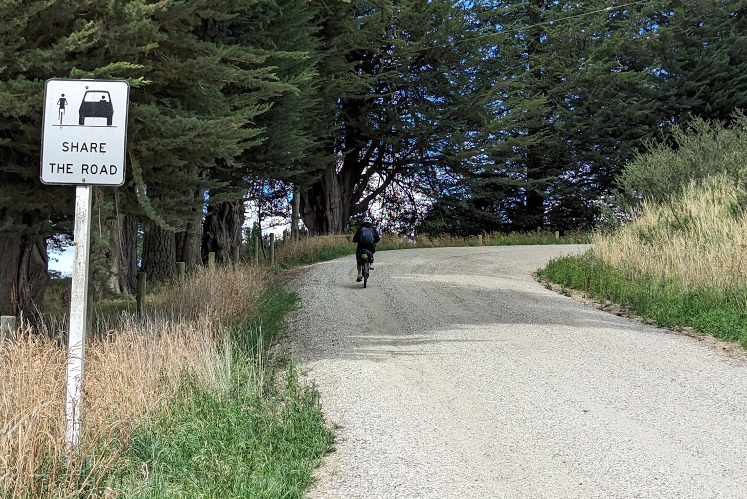
- Quiet sealed rural road

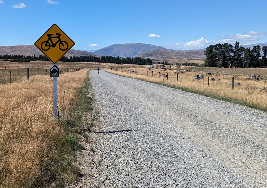
- Unsealed (gravel) rural road
- Gravel 4WD tracks
- Gravel/dirt/rock trails of varying widths

- Towards the Ōamaru end, some sealed pathways
After the rough bits on day one, most of the remaining trail was actually pretty good to ride on (no doubt the dry summer conditions helped too), with probably the rocky climb up from Lake Ohau a bit of a challenge too.

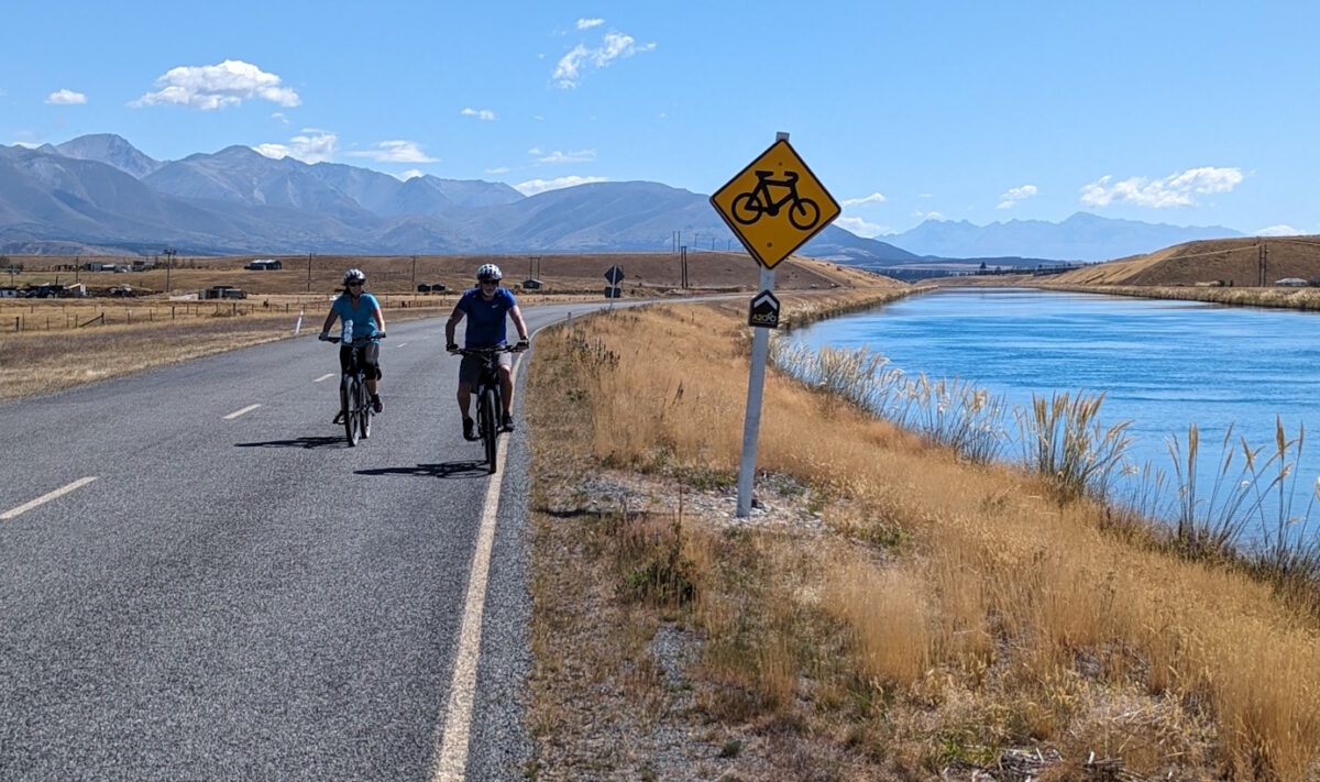
When the A2O Trail was first created, some rural sections of it were still on parts of the state highways, but now virtually all of these have been replaced with off-road paths either adjacent to the highway or further away. There is one short section of SH8 just north of Omarama where you have to use the highway to cross a river but they also have electronic cycle warning signs in operation to let traffic know you’ll be there.

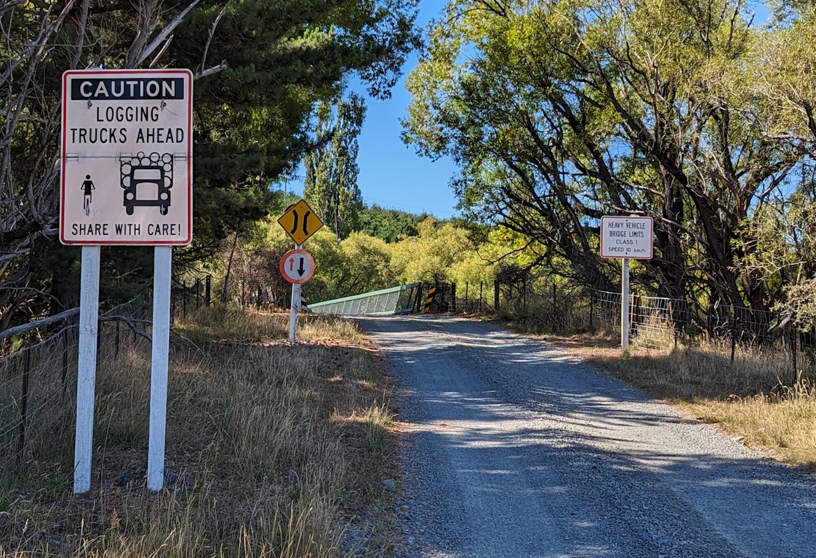
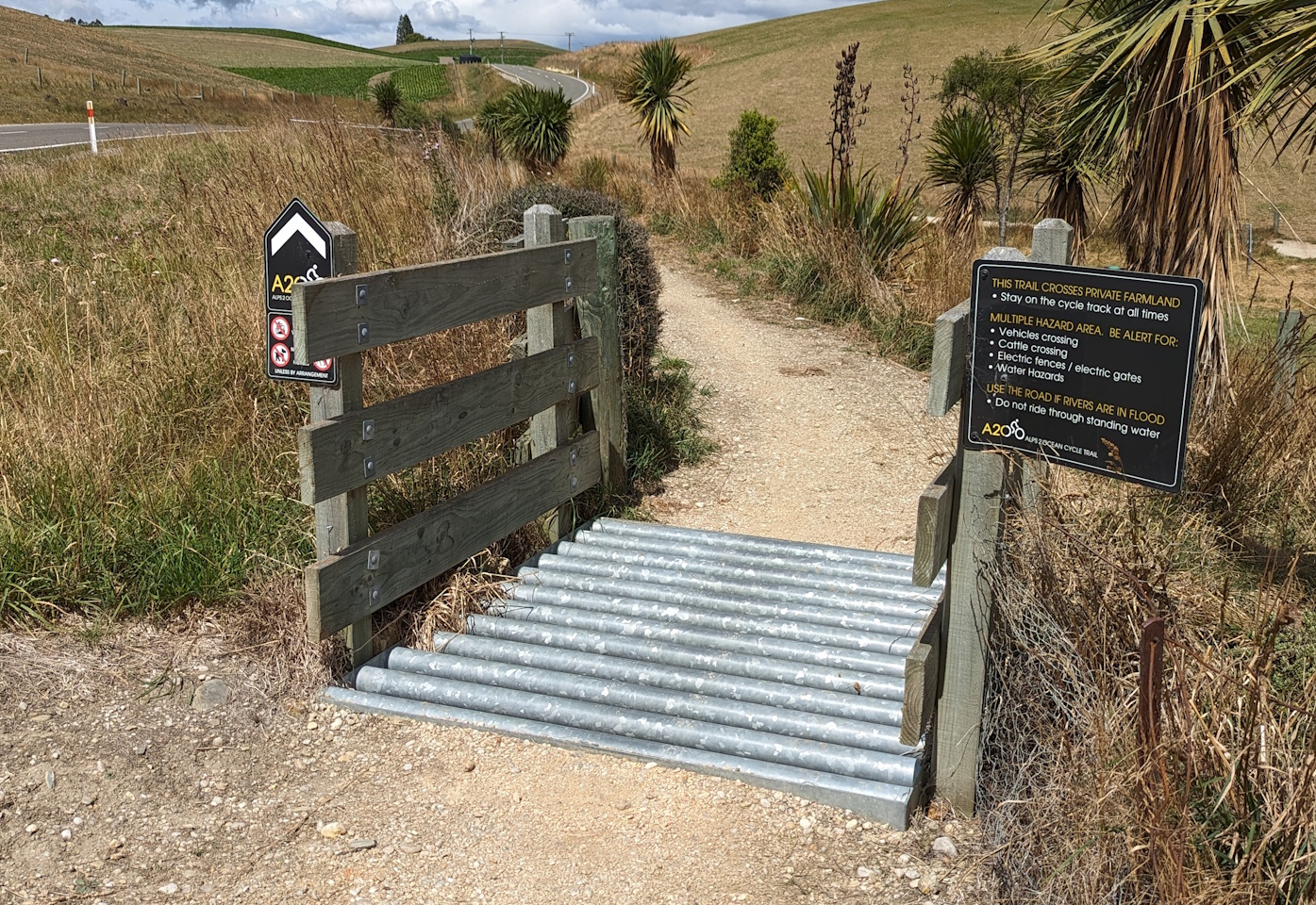
There are a few sections that cross through private farmland, but they’re managed fairly well with fencing, cattle-grids, and warning signage. Sometimes the smell can be a bit on the “effluential” side of things though…
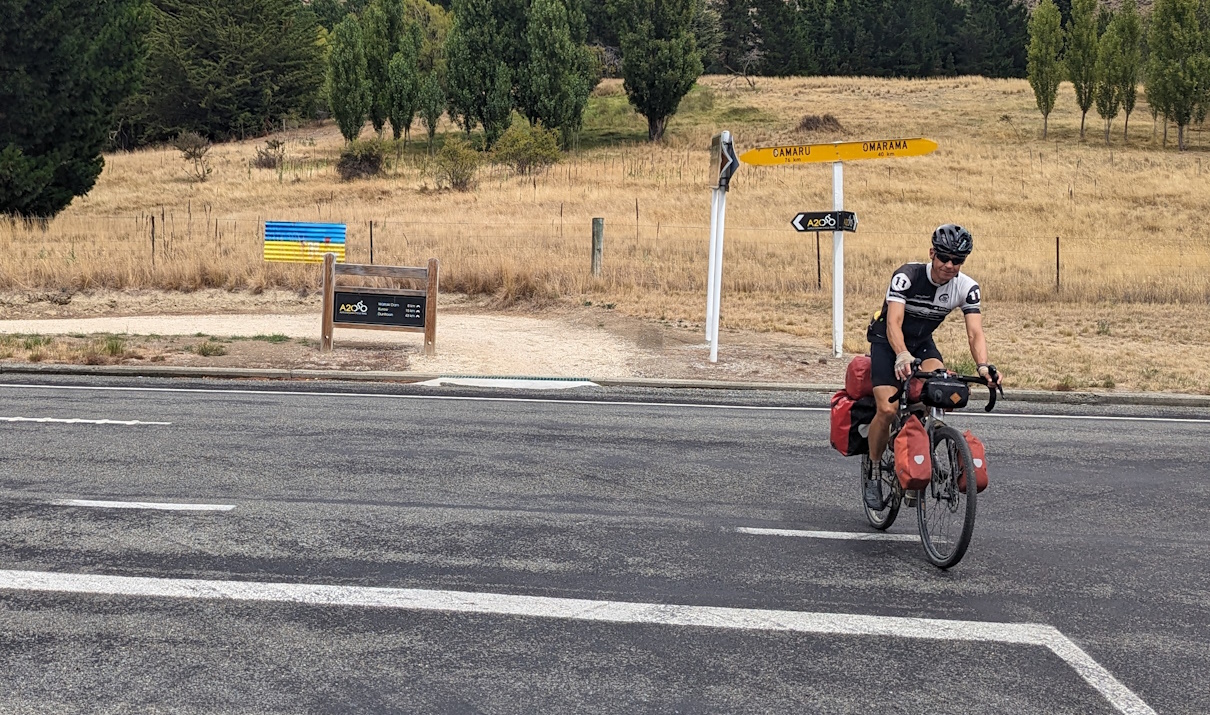
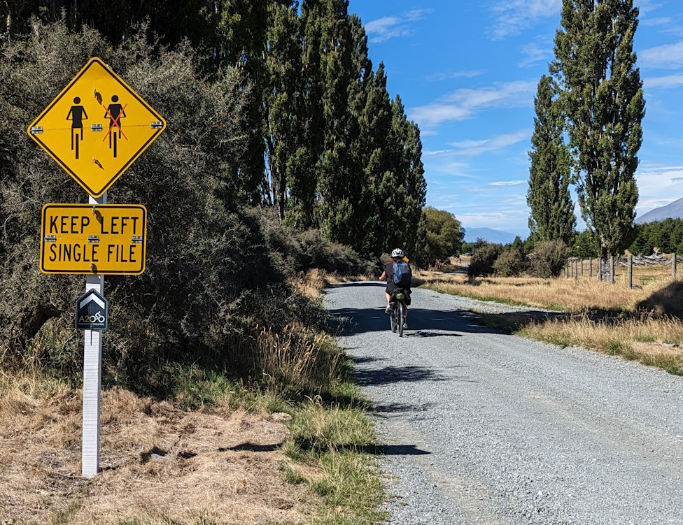
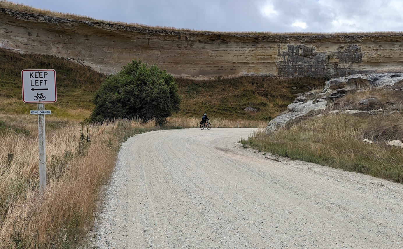
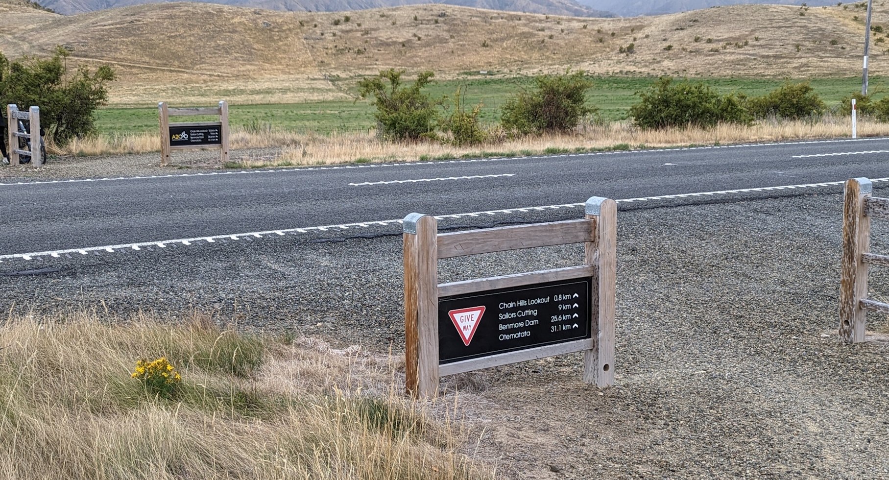
The trail facilities along the way were also pretty good. It was hard to fault the wayfinding signage that was generally very good at pointing out where to turn to next (or confirming that you’re still going the right way).

There were a few other curious warning and information signs that I suspect are not standard Traffic Control Devices Manual format, but that’s a story for another day…
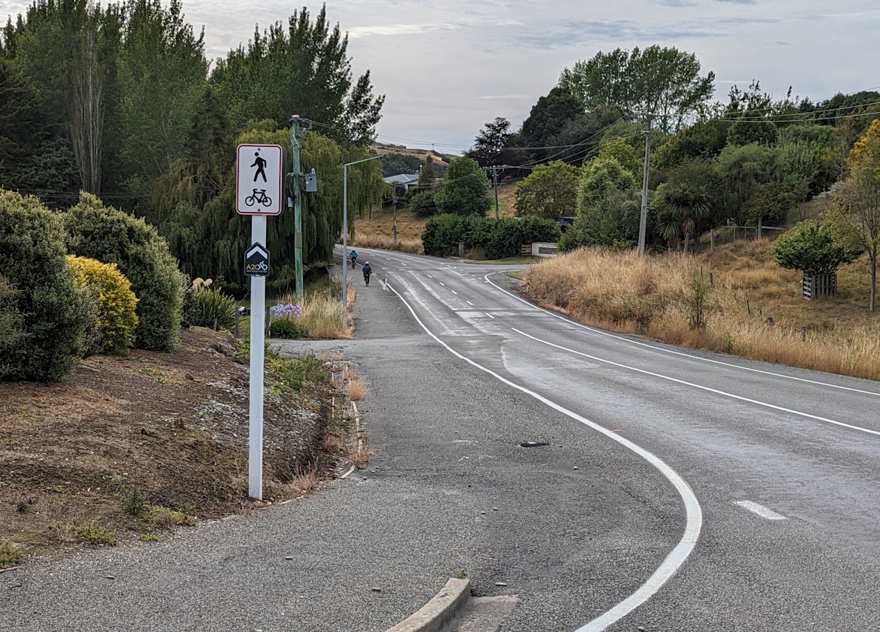
Generally any crossings of busier roads were well set up with on-road warning signs and clear crossing points.
Most of the notable streams were also well bridged, with only a few small creeks requiring fording (half of them were dry anyway).

The other thing to get used to was fairly regular “stiles” and the occasional gate (both designed to discourage motorcycle access) requiring you to get off and wheel your bike through.
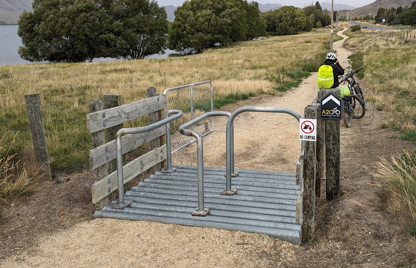
Even though we were out in the middle of nowhere for much of the route, toilet and water facilities were reasonably regular (although plan to bring a reasonable amount of food, as there aren’t too many shops in parts).
Probably the only thing we felt was rather lacking were regular shelters in case you get hit by any bad storms (or even to take some respite from the sun and have some food/drink) – I think we only came across one shelter and that was in the middle of Day 5. Perhaps a few more of those might come in handy?
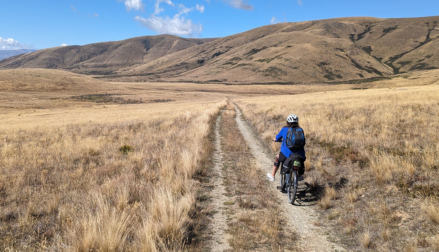
Most of the route is rated Grade 1 or 2, with only some short sections around the edge of Lake Benmore considered Grade 3 (and even they didn’t seem particularly scary). The gradients in the main were quite do-able, especially with the help of an e-bike, but there were a couple of climbs south of Duntroon that were a bit more challenging.
And of course, what goes up must come down – being “Alps to Ocean” means that overall you drop over 700m along the journey, with plenty of lovely long runs where we didn’t even need to pedal…
But the distance does take its toll if you’re not used to long days in the saddle. Day one from Mt Cook to Twizel was 80km alone and even days 4 and 5 topped 70km each. We had done some pre-Trail practice rides of up to 30-40km, which certainly helped, but by the end of the week the growing exhaustion was starting to build up (not to mention the sore backsides…).

The e-bikes could only help the distance so much, and we did have to be clever about managing when to use the various power levels if we wanted to make sure that we reached the end of a long day with some juice still in the battery (certainly for my partner it was a close-run thing a couple of times…).
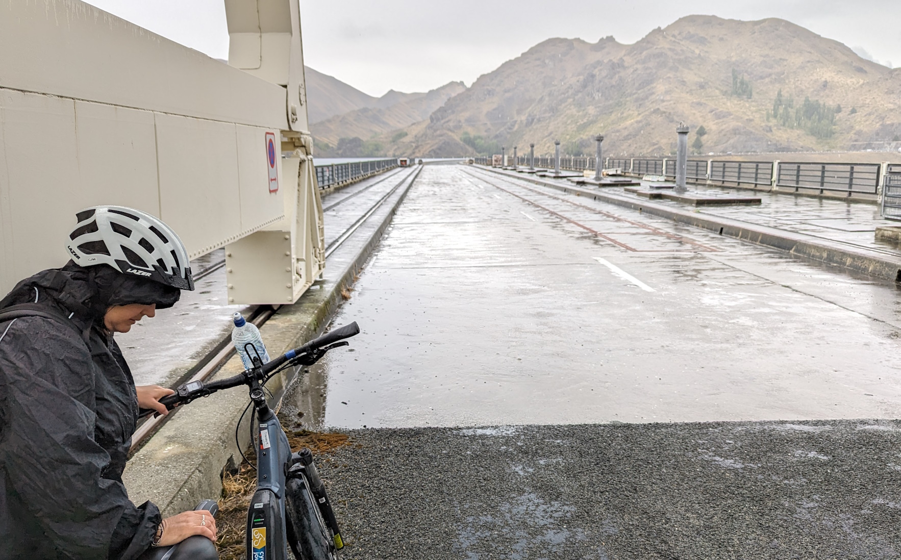
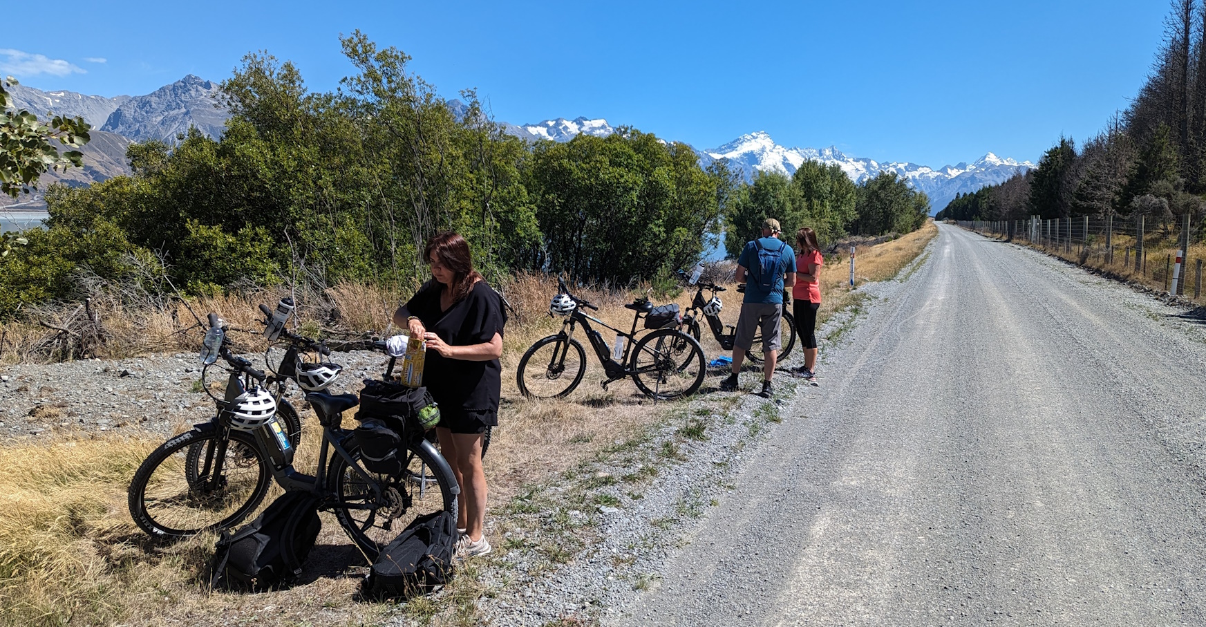
We were extremely lucky with the weather – there was only about four short rain squalls on days 4 and 5, with lovely sunny (and hot) days the rest of the time. That made for some spectacular scenery along the route, with gorgeous vistas back up to Aoraki Mt Cook, around Lake Ohau, and skirting Lake Benmore.

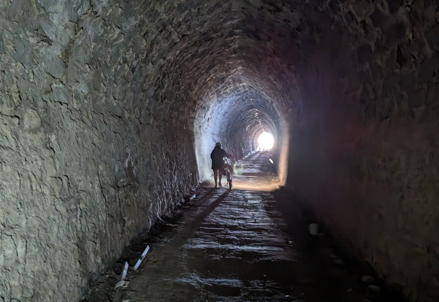
Once you got away from the mountains and headed through the hills towards the coast, it wasn’t quite as dramatic (although the Elephant Rocks near Duntroon are quite something and the Rakis Railway Tunnel is a fun diversion). And on arriving at Ōamaru you are rewarded with the magnificent architecture and heritage of this town as well.
Along the way too, there are plenty of interesting natural and cultural highlights to appreciate as well (e.g. Duntroon had quite the range of interesting historical activities for such a small town).

Overall, the Alps 2 Ocean was a great cycle trail to experience and to take in the many sights in the middle of our lovely South Island. If you haven’t already given it a go, I’d certainly choose the warmer months (and fingers crossed that the weather behaves), as I can imagine that the alpine environment could be quite different in winter. And definitely make sure that you are “match fit” if you are taking on the whole 300km+ journey.
Have you ridden the Alps2Ocean? What did you think of it?
I rode the Alps 2 Ocean twice, in both directions. The Ocean 2 Alps way wasn’t much harder as the climbs are not very steep, except before reaching Lake Ohau. But the views are well worth the effort! I loved this trail. Some more shade would have been welcome though. I think if I ride it again I’ll do it in spring or autumn.
I agree about the views heading Ocean to Alps. We booked accommodation at Braemar Station before realising the difficulty getting a shuttle to the Mt Cook Station Car Park ( little interest in a helicopter ride ). So for 1/4 of the price the bespoke shuttle was going to be, we got a daily Cycle Journeys trip from Twizel to Tekapo. Parked the car at Twizel and rode Tekapo to Lake Pukaki and headed up the lake. An awesome view of Aoraki Mt Cook most of the way. A great nights sleep followed by a NW gale which blew us back to Twizel. We completed our journey at Omarama and rode back to Twizel early on a quiet Sunday morning. Two years later we rode Omarama to Oamaru and shuttled with CJ back. Pleasantly surprised that this second adventure was just as enjoyable and interesting as the first.
minor typo – Duntroon link shows on my browser as strikethrough.
It’s in this bit of text: (e.g. Duntroon had quite the range ,,,)
Aiming to cycle the A2O late April, hoping for fine weather…
Not a typo; the strike-through supposedly indicates that a particular link doesn’t exist (a problem over time with some of the links in our older blogposts). In this case, the weblink is most certainly there but it doesn’t like that it’s on a non-secure (i.e. not https) website…
I’ve ridden segments of AlpstoOcean and it’s one of the best of many in the south island.
There is a segment I have and always will avoid. Benmore Dam to Aviemore Dam. This link requires two on road only options, both needing sharing busy roads that are narrow in parts and winding.
Sure, there is a gradient to tackle with either option, but if traveling west to east it’s down hill so not too difficult.
To me, the lacking of an off road cycle way between Otematata and Aviemore should be addressed. There is room beside the road for most of the way. There also is a “track” that follows pylons, for their inspection I assume, that could be utilised.
The obstacle may be private land on some segments. Negotiation for access, fencing,etc would be needed, but similar intrusions through private land by this cycle way has been successful.
This would be a safer and more enjoyable ride than the existing need to share a busy road.
Actually I didn’t find any issue with riding along the northern lakeside road from Benmore Dam to Aviemore Dam (Te Akatarawa Rd); traffic was very light (even in late January with plenty of campers still around) and the speed limit is only 80km/h (and 50km/h near the campgrounds). My only complaint was that the ride along there was rather long and monotonous (I jokingly referred to it as Lake “Evermore”…), although the Deep Stream reserve was a nice scenic surprise towards the end.