
I’ve been meaning to post for a couple of weeks about the great new addition to the end of the Little River Link. With the near-completion of the next stage of the Southern Motorway, a new path connection has also been created to now truly provide a direct link to the Little River Rail Trail from central Christchurch.
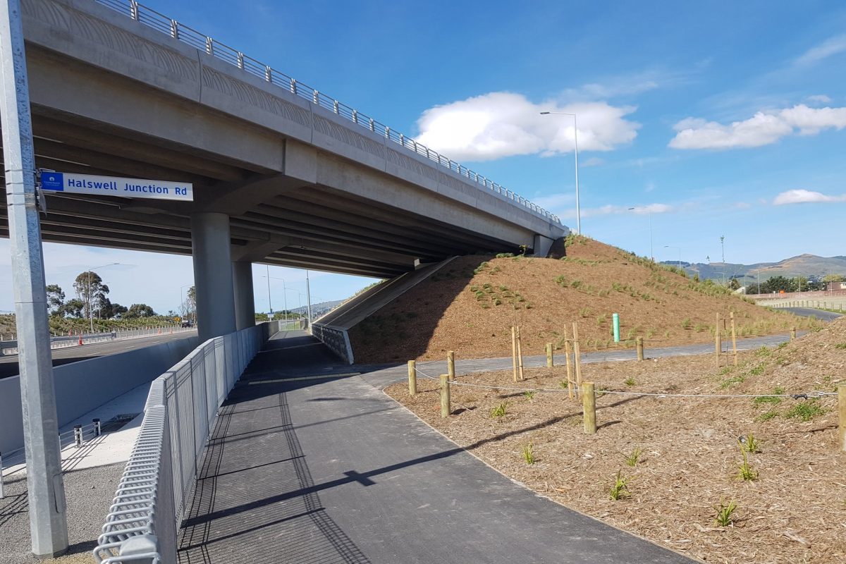
A generous underpass has existed under the motorway since the first stage of the motorway was built, providing a connection to Halswell Junction Rd. Now it also provides the starting point for continuing southwest.
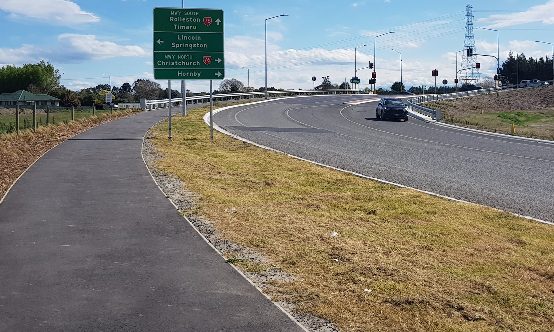
Turning right at Halswell Junction Rd, the new pathway heads underneath the new road overbridge. Generally the path is 3m wide all the way – OK for the likely amount of usage.
New destination signage along the way points out destinations in both direction, although I’d say that this route is a rather indirect way to get to Hornby…
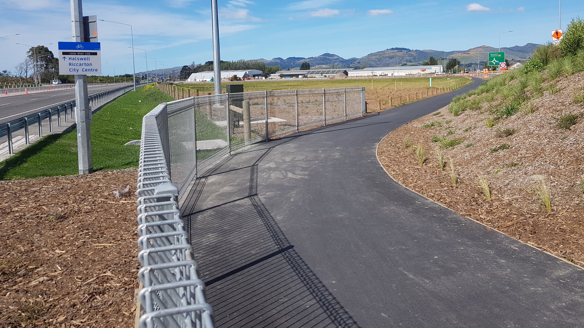
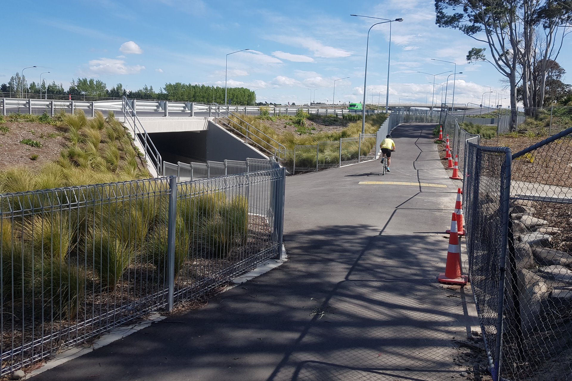
At each of the overbridges, connecting paths provide useful links back to the roadway for those who need them.

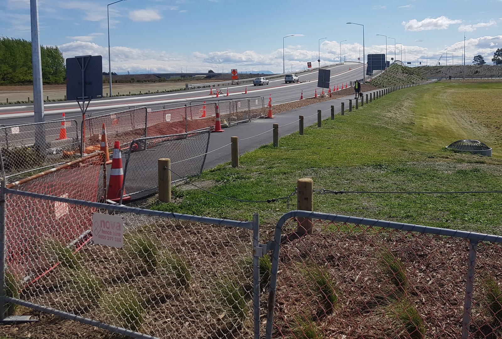
After Halswell Junction Rd, the pathway follows the motorway underneath the new Springs Rd overbridge too.
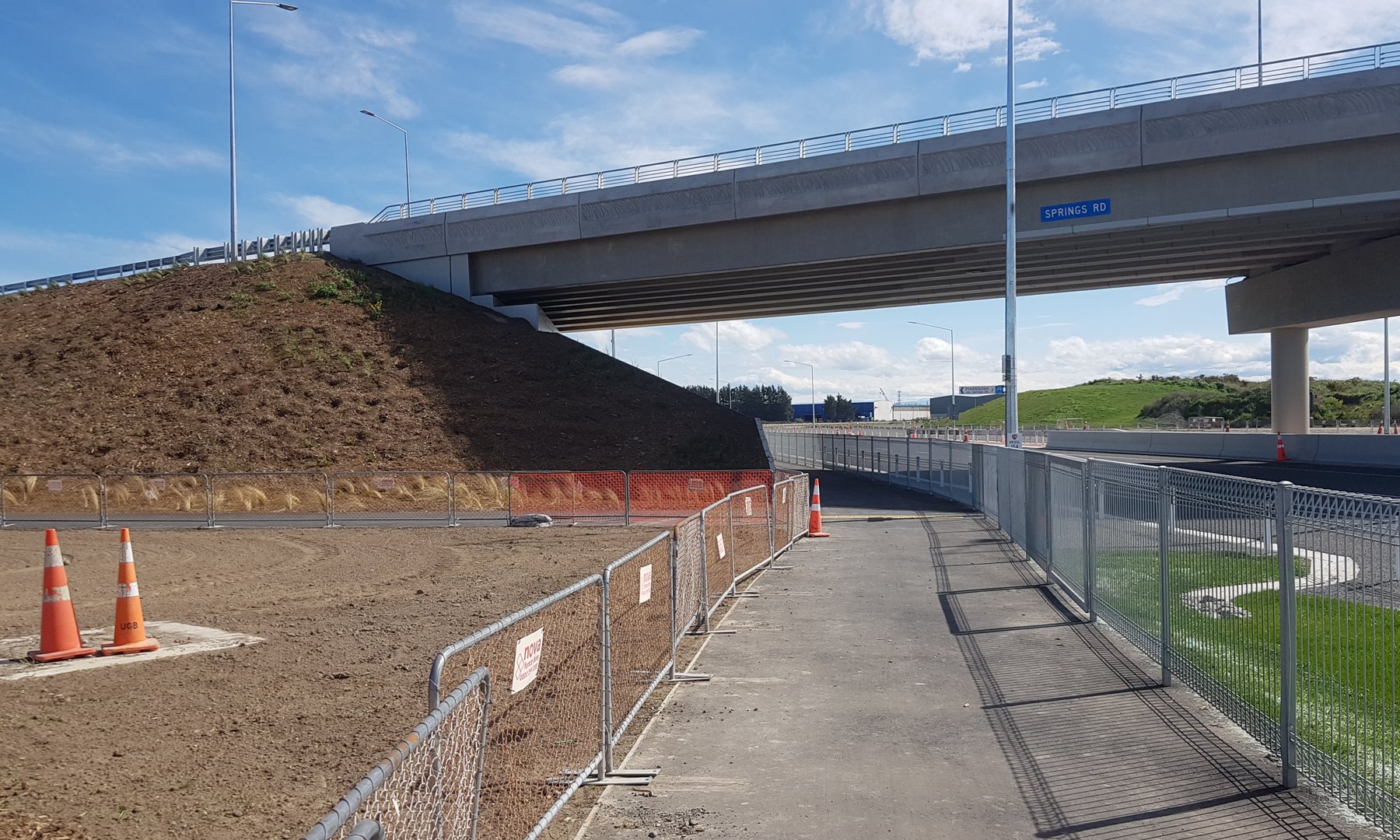
Riders wanting a more direct route to Prebbleton could leave here to join Springs Rd, although sadly the shoulder width away from the bridge is still very minimal for such a busy road.
The new pathway continues alongside the motorway until it reaches the line of the old branch railway corridor, where it heads left.
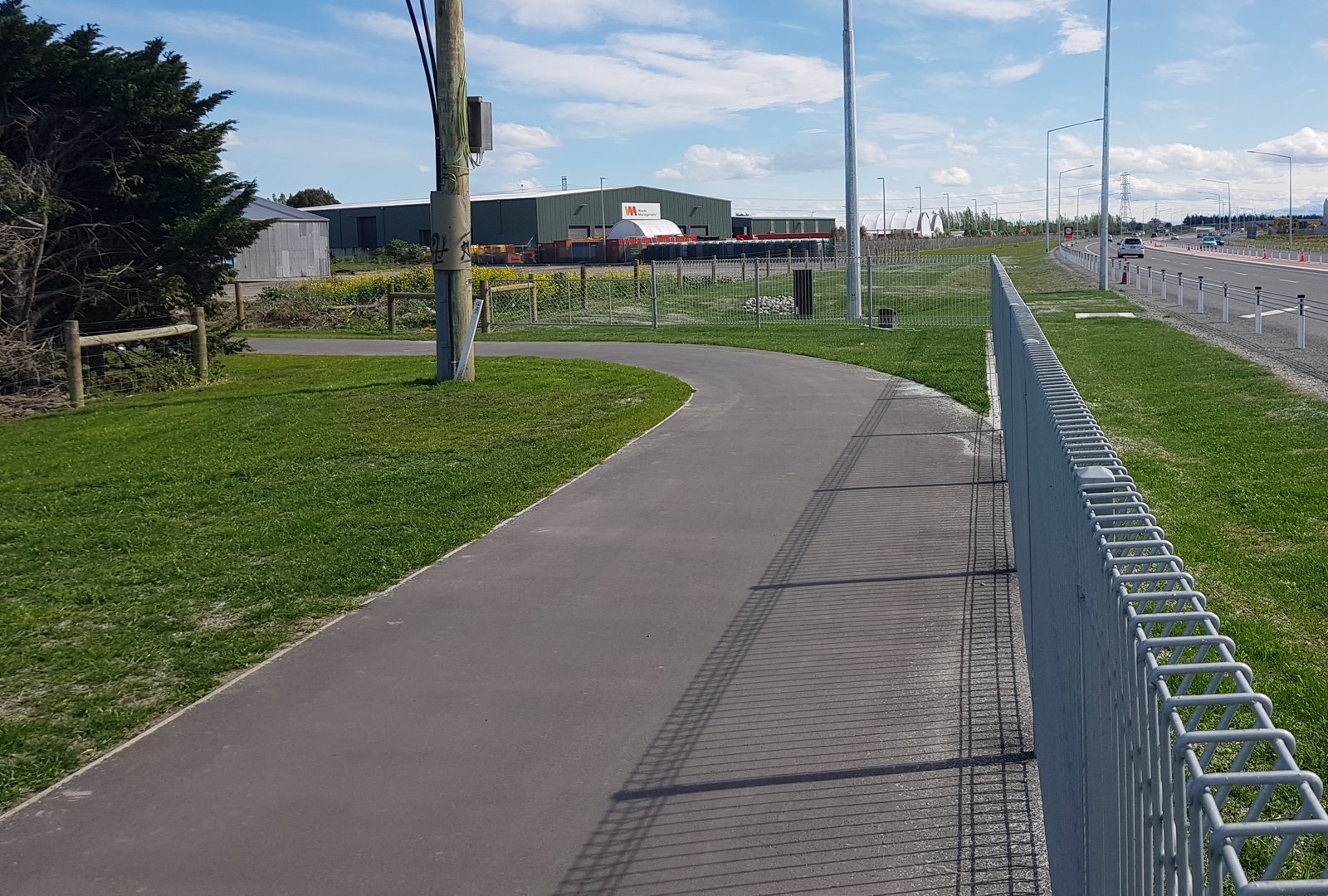
It’s a relatively short run back to where the route joins the existing Little River Rail Trail. Could be dark at night though – I didn’t see any lighting…

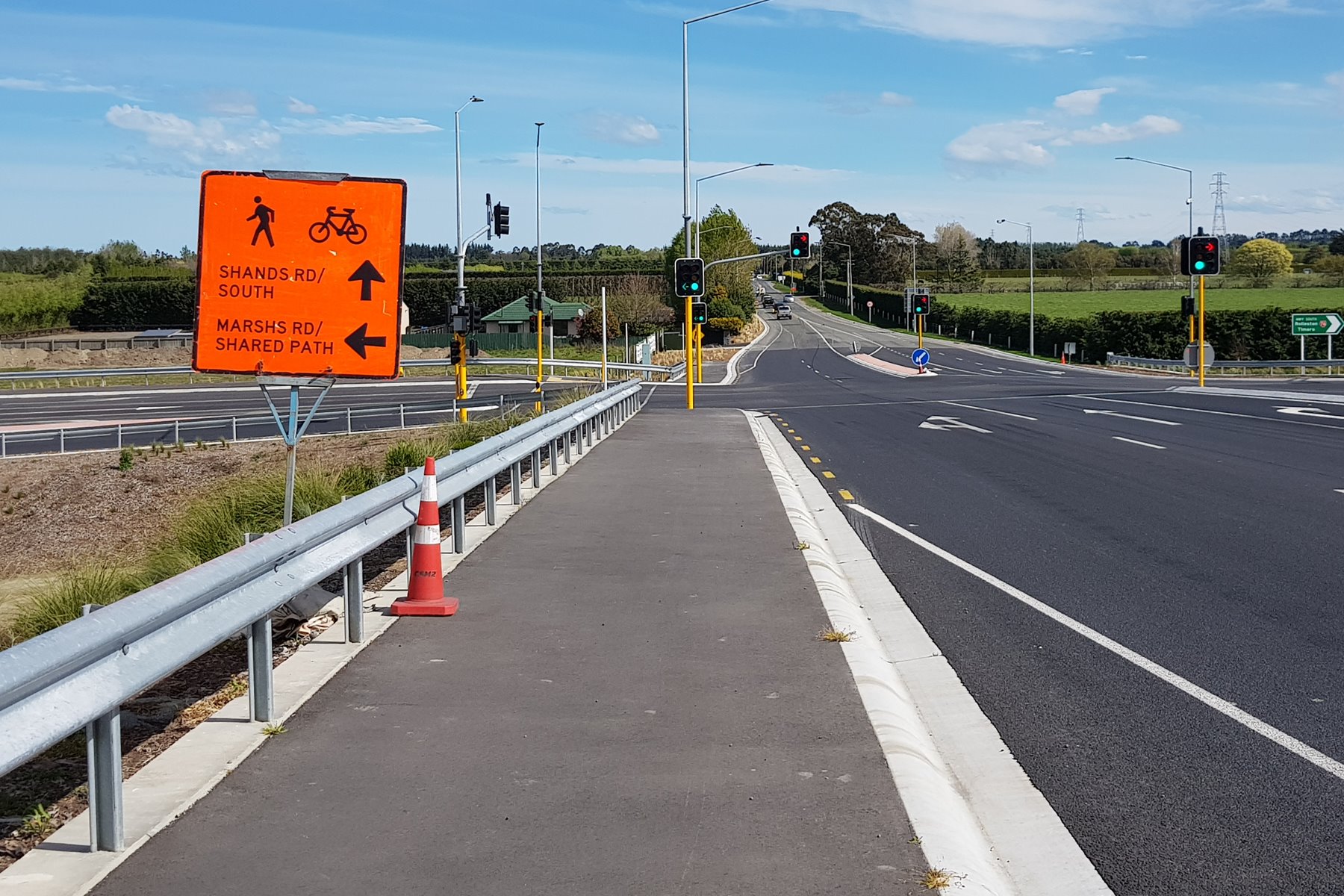
If you wanted to head back to Hornby, then you would turn right at Marshs Rd; otherwise straight ahead gets you to Prebbleton and beyond.

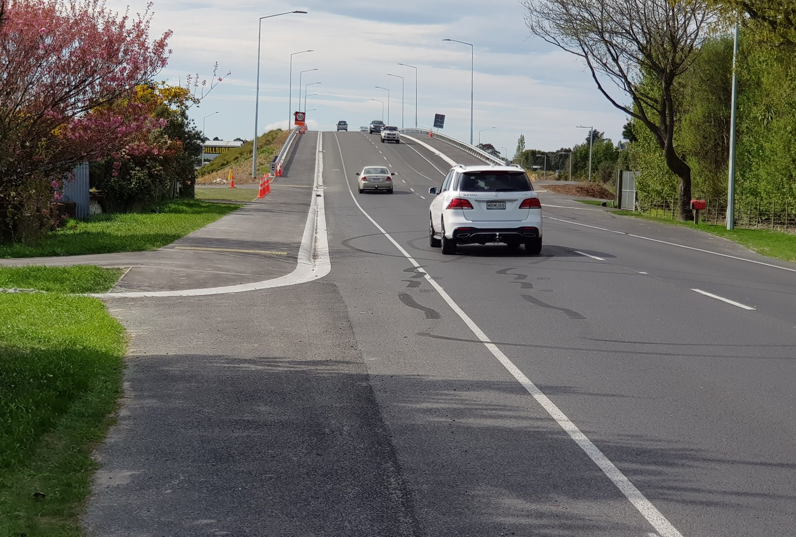
The motorway works have meant a re-jigging of the original Rail Trail route along Marshs Rd. The realigned route now goes to the new intersections either side of the Shands Rd overbridge.
When I was there, the cycle signals still weren’t properly working, but hopefully by now you can get a safe controlled crossing of the side roads as you head to/from Hornby.
Overall the new path (and associated connections) is a pretty good addition to our wider cycle network. Perhaps most importantly it now allows you to have a traffic-free cycle route all the way from the central city right out to Lincoln and beyond – well worth celebrating.
Have you tried the new southern motorway cycle path yet?
You’re right – that side path is very dark at night. Once you turn away from the road and are behind the seed warehouse, its pitch black. But this is the same as the existing rail trail to Prebbleton which is also very dark and has a small bridge in the middle.
Anyone riding this at night should absolutely have decent lights, which make the darkness much more rideable. The legal minimum is anemic. and there’s a raft of excellent lights available. Plus we’re going into summer now, so ~6 months of long late evenings.
Just a loose comment – I’m (hopefully!) heading off over part of a the Little River Trail soon, but as I’m starting from the southern part of the city the ‘natural’ routes are either the Quarryman’s Trail, or follow the Heathcote west. Neither links on to the Little River trail. In fact, I spent quite a bit of time trying work out what might be a reasonable route connecting these. It’d be great at the very least to have some recommendations on what are the better ways to connect these in the interim.
My current pick is to use Sabys and Trices roads, but with the concern that this may prove to be a ‘short cut’ route for drivers between Halswell and Prebbleton. Ellesmere Road would be a more natural line to take, but it’d involve a long passage on a road as opposed to paths.
(You can, of course, simply travel north while still in the city proper until you hit the LRT, but that way you’re forced to travel a very wide arc many kilometres longer than more coming across the southern part of the city.)
Once the Nor’ West Arc cycleway is completed ( mid 2021 ? ) the Quarrymans’ Trail will link to the Little River Link cycleway at Annex Road. Sparks Road , north to Centennial Park through to Lincoln Road via Domain Terrace.
https://ccc.govt.nz/assets/Images/Transport/Cycling/Updated-NorWest-Arc-map.PNG
I wouldn’t recommend cycling down Sabys Road AT ALL. I avoid for my own safety, too many near misses. It’s a horrible road with fast cars and blind corners. Cyclists of all levels should avoid it.
Not sure where you are starting from to provide a perfect route.
To avoid Sabys, I’d cycle North up Quaifes, then Fountains and Hodgens Road (the West portion of Whincops can be busy, so avoid that too)
This comes out onto a busy section of Springs for a few hundred meters, but the road is wide enough to keep to the side (in my opinion), but could be unnerving for beginners / family groups