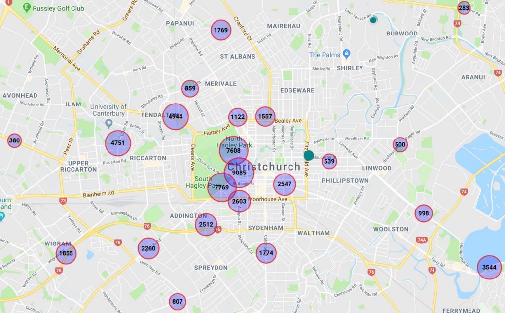
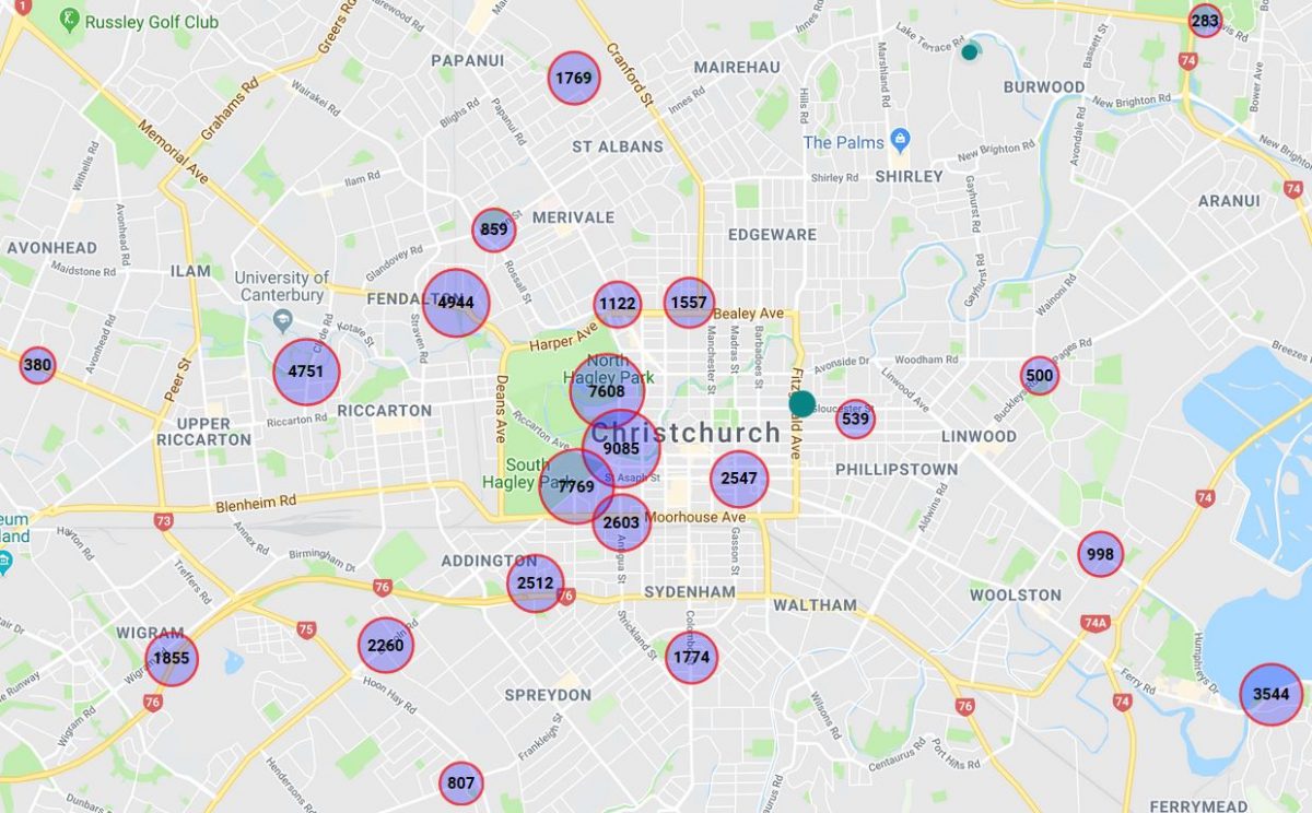
We’re now starting to develop a comprehensive set of automated cycle counters around the city, and you can check out the weekly count data live at SmartView, the City Council’s very useful information website. Of course, these counters don’t even come close to capturing all of the cycle trips around the city; on my typical 6 km commute to work I don’t trigger any of the 20-odd current counters.

So it begs the question: where else might it make sense to capture count numbers? Here’s a few thoughts:
- Many of the new sites are being installed on the new Major Cycle Routes as they are constructed, e.g. new counters were recently installed on the Quarrymans Trail and Rapanui Stage 2. However, there are some potential gaps in the existing cycleways, including:
- The Northern Line, somewhere near Papanui
- Quarrymans Trail on Strickland St, south of Milton
- Uni-Cycle on Matai St West
- Rapanui – Shag Rock, in Linwood Park
- There’s not a lot of information within the central city about cycle patterns, especially towards the northeast. Granted, there is still some construction going on, but a few more sites could be useful, such as:
- Tuam St near Durham St
- Kilmore St near Barbadoes St
- Armagh St near Victoria Sq
- Cambridge Tce pathway near Gloucester St
- Colombo St near the Bus Interchange

- Plenty of cycling still happens on other routes around the city. To get a better idea of whether people are switching to new cycleways or new trips are being generated, it is useful to have some “control” sites (some of the existing count sites already perform that function). A few more possible sites include:
- Barrington St near Spreydon
- Kotare St near Clyde Rd
- Harewood Rd underpass at Russley Rd
- Wilsons Rd near St Martins
- North Parade near Shirley
- Centaurus Rd near Cashmere
- Ferry Rd near Woolston
Obviously any list of potential sites is still going to miss a whole lot of other cycling locations; all you can do is try to get a good representative sample to help monitor ongoing trends across the city. Unfortunately there is a cost associated with installing (and monitoring/maintaining) each site, so that will always be a constraint on the available number of installations.
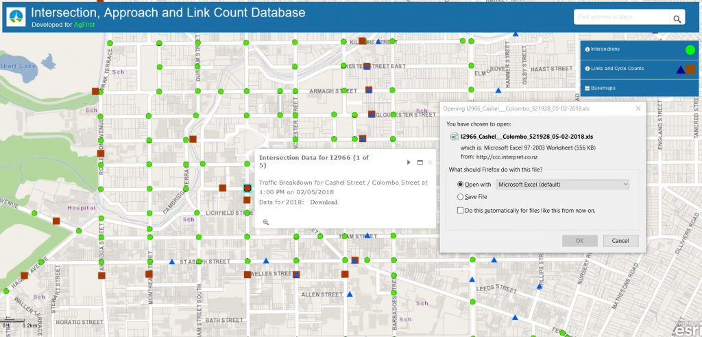
{By the way, another useful source of cycle counts, albeit more sporadic, is the multimodal count data from CCC’s graphical traffic count website. Typically, sites are counted every two years and intersection counts can provide you with five AM/interpeak/PM hours of detailed counts for all movements and travel modes.}

The other thing that’s a little annoying is the fact that many of the on-street counters are only one-way – in SmartView, click on individual counters to find out whether they pick up movements in one or two directions. Ideally it would be useful to know the two-way flows; it would make the numbers look even more impressive for a start and would save us having to manually double the numbers shown. At the very least, it would be helpful if the one-way counts were displayed using a different symbol or colour to the two-way sites, for easy identification.
Where do you think some cycle counters should be located?


What about along Pages Rd towards Eastside.
Definitely agree that there are some big gaps in the counter network.
I’ve thrown together a website to get a sense for the trends in the cycle count data:
http://chch-cycling-data.s3-website.us-east-2.amazonaws.com (very catchy url)
Joe, if you control a domain name, add a CNAME that resolves to that AWS mess. Much nicer.
Give me a yell directly if you want a hand with this.
I would like to see daily count information on smartview (if it is technically possible – I imagine it is). A 7 day total hides quite a lot of interesting information.
Hey Joe, I didn’t see this post till today. I had plans to add more granular data to cycle counters but haven’t got to it till now. I added daily data (for last 30days). Just please be nice to smartview server when you will be downloading the data (you obviously know how), it is not really ready for mass script downloads.
I come down the Northern Line from Blighs Rs and it is heaving with schoolgirls most mornings (along with other commuters and dogwalkers)
What about the intersections of Riccarton Ave/Deans Ave and Fendalton Rd/Harper Ave as I see a lot of cyclists coming through there into Hagely park. Also at Matai St/Deans Ave where the cycle way feeds into Hagley Park, again a lot of cyclists coming through that way.
I’m happy with the locations – but I wish CCC could make the detailed count data easier to access. Auckland publish tables of the raw data every month (https://at.govt.nz/media/1978292/sept2018akldcyclecounterdata.csv), it would be useful to have that here.
Slightly off topic – but I notice the Antigua Boatshed Bridge has the highest number of cyclists of the areas currently monitored. I’ve cycled this bridge commuting to/from work for 10+ years now.
Back in the “good old days” when the bridge surface was slippery timber, there were raised kerb footpaths each side designated for pedestrians with the central lane designated for cyclists.
These were usually routinely ignored – but at least there was a token effort.
After the repair work & with the new asphalt surfacing, all there is now is the shared pedestrian/cyclist symbol.
I always watch my speed on the bridge but have still had a few close calls with pedestrians changing course unexpectedly, seemingly oblivious as to what the dinging bell noise approaching them from behind might mean.
I wonder with all the other roadworks to Hospital Corner adjacent still in progress whether this might also get addressed and some sort of lane markings reinstated?
Mini Rant over!
Cheers 😉
I really wish the council would improve the Carlton Mill bridge, so it would be good to get some stats on bike/foot traffic on it. Not only is it a major ‘gateway’ to the CBD, it is dangerously narrow for both pedestrian and bikes.
A lot of school cyclists going to Boys and Girls High Schools use it, plus it feeds into the Uni-Cycle route from H Park.
You see cyclists using the footpath on the bridge – which is narrow and dangerous, esp. when there are pedestrians – and whenever there is a big event at H. Park, it turns into a total zoo.
An extension that is a shared cycle and pedestrian bridge would be great.
The challenge with the Carlton Mill Bridge is that it has heritage designation. So you can’t just plonk some clip-on onto the side of it (right where the ornate bridgework is). I gather that the long-term plan is to build a separate foot/cycle bridge just south of it, thus also freeing up the main bridge width to add a separate right-turn lane into Park Tce.
How about rapaki track to get an idea of cyclists that use bikes for recreation
There’s one chap here at work who commutes over Rapaki and Bridle paths… he’s multimodal and uses the Diamond Harbour ferry to get home. So not 100% of rapaki riders are recreational.
I’d expect to see more sensors on the Southern and Northern motorway bike lanes. Given they’re still being built its the perfect chance to put in a separate lane counter for each lane, along with speed sensors and so on.
I’m seriously interested in anything that makes my work commute less deathly – Jones Road is horrid but is still better than other options like Shands road or SH1.
Will bike detectors count e-scooters? I wonder if we’ll see a spike due to them starting up…
No, I doubt it, the Eco-Counters are looking for a certain “signature” in the detection signal that they recognise as a bike. Other things like scooters, skateboards, prams, etc tend to have different signatures.
I pass within 20m of 3 counters on my commute, but cross over none of them. I could detour a little and get the count, but that’s not my first thought when cycling to work or home.
Perhaps count bikes on buses, where they travel from and to. There have been a number of collisions along the motorways so some of us avoid the cycle paths next to motorways and crossing busy roads/major intersections. So placing the bikes on buses gives the ability to access safer cycleways..If there were safer cycleways in areas closer to home (like there were before the quakes).. I’m sure there would be more cycling in those areas. At the moment cycling trips by locals are counted in other areas and where thats not possible trips are made using other vehicles. In the meantime its great to see the improvements around the city and they’ve had to start somewhere. Build them and we will use them.
There is now a cycle counter on Charles St. Looks like it’s going strong. 80 on the first day (probably started mid-day), 182 the second day.