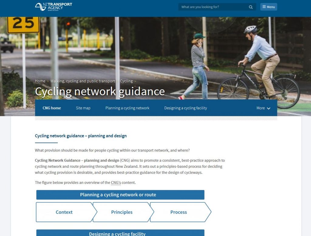
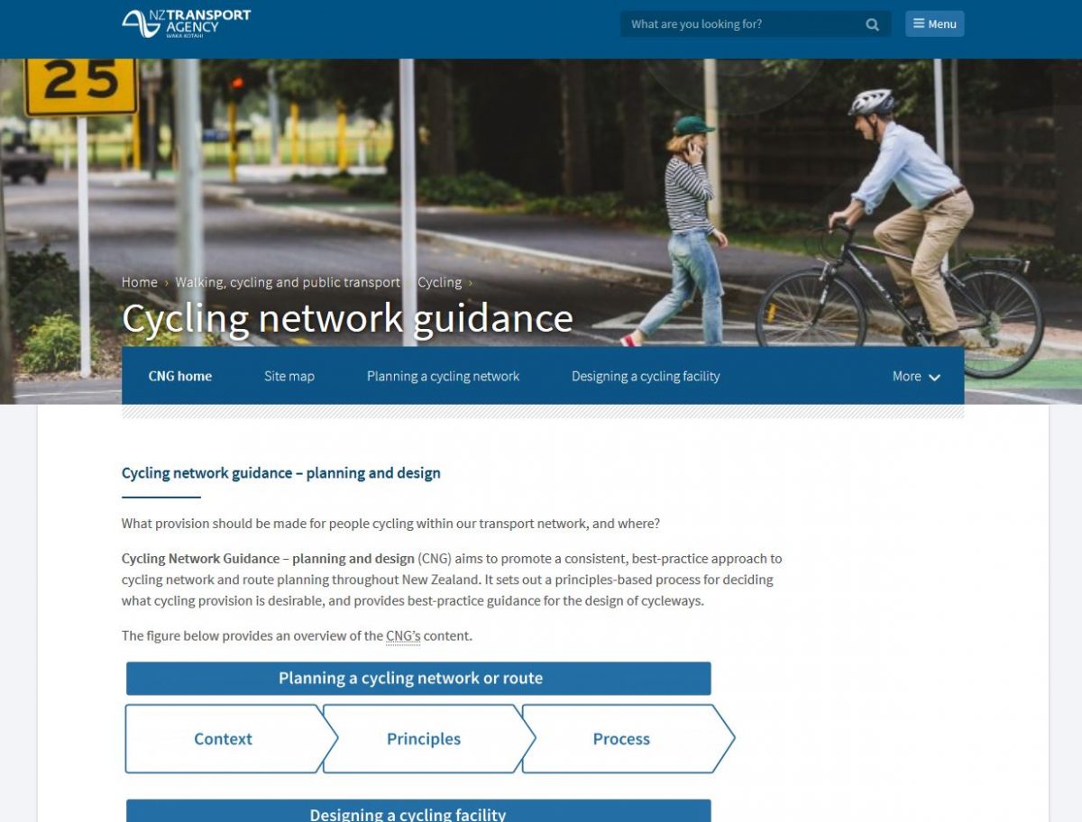
One of the important things announced at last week’s 2WALKand CYCLE Conference in Auckland was the public release of the NZ Transport Agency’s Cycling Network Guidance. This has been an exhaustive 18-month long project to develop and update national guidelines for planning and designing cycling facilities and networks (disclosure: my company ViaStrada was heavily involved in this). After trialling the draft material and website interface, the guidance is now ready for practitioners in New Zealand to be able to start using.

Historically, NZ has largely relied on following guidance from Austroads, the national transport authority from Australia. A NZ Supplement to Austroads was also produced and separate cycle network planning guide (PDF) was developed 12 years ago. But lately it has been a confusing combination of documents as Austroads have slowly updated some of their material (e.g. the NZ Supplement was still referring to since-superseded 1999 guidelines), whilst still not reflecting some of the latest thinking in cycling provision. Given the rapidly changing nature of cycling best practice, there was also a desire to have a more dynamic reference source that could be easily updated as new information came to hand, rather than waiting for re-publication of a hard-copy document. Hence the birth of the Cycling Network Guidance!
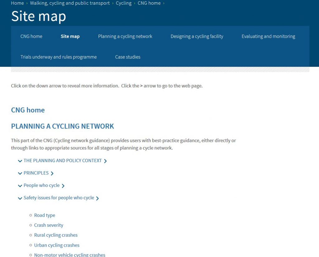
Getting to the Guidance material is easy; just go to www.nzta.govt.nz/cng. The site has a lot of material, so it can initially be quite daunting to find your way around. At the top of each page are links to the main subject areas, and then down the side of each page (or at the bottom when viewing on smaller devices) is a menu of more detailed sub-topics. If you’re really lost, you can also use the Site Map page to find your way around.
As well as information on traditional topics like cycle lanes and cycling strategies, the guidance has introduced a lot of new material on recent topics of interest (many that we have talked about previously), including:
For each topic, there is information about both conceptual and detailed planning and design issues. Any relevant legal/regulatory issues in NZ are also discussed, and there’s also information about any local trials underway. Where possible, case studies from around NZ are also highlighted, so that people can look for models of how things have been done and lessons learned.
To save reinventing the wheel, often there are also links to useful external documents and resources as well. A nice touch too in the Design section is that each facility topic has a link back to the Planning section so that you can check that it is the right facility for the situation. And there are copious photos (most of them from NZ) showing examples of what is being discussed.
The Cycling Network Guidance is by no means complete. NZTA acknowledge that there are topics and issues that need further improvement or expansion, and the material is currently open to feedback from users of it on what needs tweaking. A lot of the construction layout details will be provided in the relevant parts of the Traffic Control Devices Manual, which are still not quite released. At the moment there are also a number of trials underway that will inform parts of the Guidance, and no doubt there will be plenty more in the near future (many driven by the national Active Modes Infrastructure Group). But already the CNG provides a consistent and valuable resource on how to provide for cycling in NZ.

Have you looked at the Cycling Network Guidance? What do you think?


Yes, because that vertical separation outside the Bus Exchange in Christchurch works well.
https://www.youtube.com/watch?v=UC-atp7bmao