Tai Tapu has long been a popular destination for road cyclists. It’s close enough to Christchurch to be easily reached, yet distant enough to provide an opportunity for smooth uninterrupted cycling away from the city traffic. And, of course, there are several good cafés in the area.
With many of Christchurch’s major cycleways now complete, cycling to Tai Tapu has also become a good option for recreational cyclists. Apart from one small section of busy road, it’s possible to find a route that takes you there and back almost entirely on cycleways and quiet rural roads.
My version of the ride involves:
- following the Quarryman’s Trail to Halswell
- cycling to Tai Tapu along Old Tai Tapu Road
- taking Perymans Road to Lincoln
- returning to the city via the Little River Link.
City to Halswell via the Quarryman’s Trail
I start my ride by making my way from north Christchurch into Hagley Park, taking a shared pathway to Armagh Street Bridge and then the temporary cycleway along Rolleston Avenue to the Antigua boatsheds. (It’s usually a quiet Sunday morning when I do this ride, so I just cycle along the roads and into the park. But if I wanted to avoid the roads, I could instead take the Papanui Parallel Cycleway into the city and then shared pathway along the river to the boatsheds.)
The Antigua Street bridge is the starting point for the Quarryman’s Trail, which will take you from the city to Halswell. The trail involves a mix of separated cycleway, quiet residential streets, and shared pathway. Head south on the separate cycleway along Antigua and Strickland Streets until you get to Roker Street, then turn right and cycle on the road (well-marked as a shared space) until you connect back up to separate cycleway on Frankleigh Street.
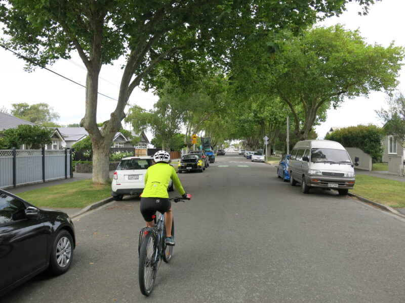
It’s a straight run from here, carrying on along Sparks Road all the way to Halswell. This section of cycleway is bi-directional so it’s nice and wide and provides the chance for some fast-paced cycling, with only a few road crossings.
Along the way, the trail crosses another major cycleway, the Nor-West Arc, providing a handy connection point for those coming from suburbs in the south-west of the city. The trail also passes by Te Kuru Wetland, which was developed as a stormwater basin to help reduce the risk flooding and includes walking tracks and lots of native plantings.
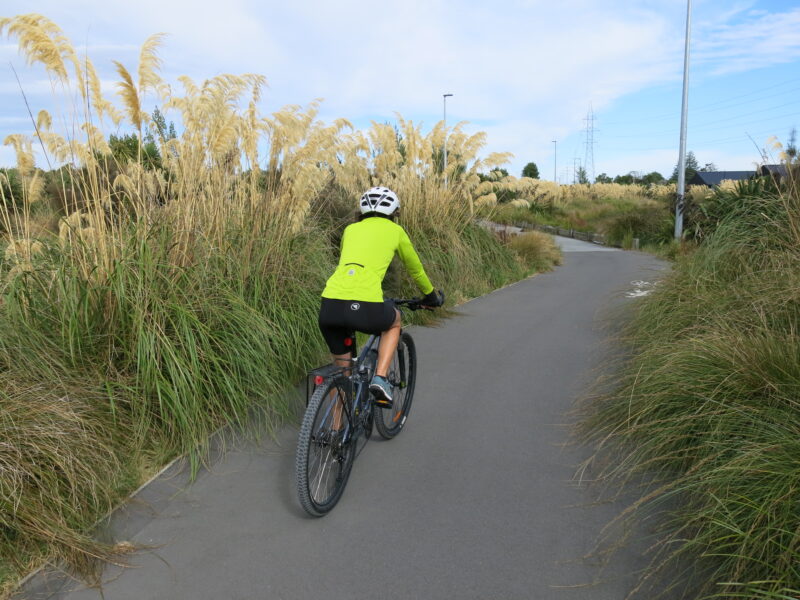
Shortly after the wetland, the trail leaves Sparks Road, crossing to the other side through a small reserve and heading into Halswell via quiet residential streets and shared pathway in Halswell Domain. Follow the signs through the domain and turn left at Halswell Road, staying on the shared pathway until the end of the trail at Te Hāpua: Halswell Centre (the local library/community centre).
Halswell to Tai Tapu
When you get to Te Hāpua, you’ll need to switch to the roads. There’s an on-road cycle lane until the edge of town, but then you’ll have a short section with limited shoulder along the busy main road before you can turn left into Old Tai Tapu Road. (Look for signage to Landsdowne and Rossendale Wines.)
(There have been road works on this section recently, which makes it more of a squeeze, but a thirty km/per hour speed restriction means you can take the lane without holding up the traffic too much.)
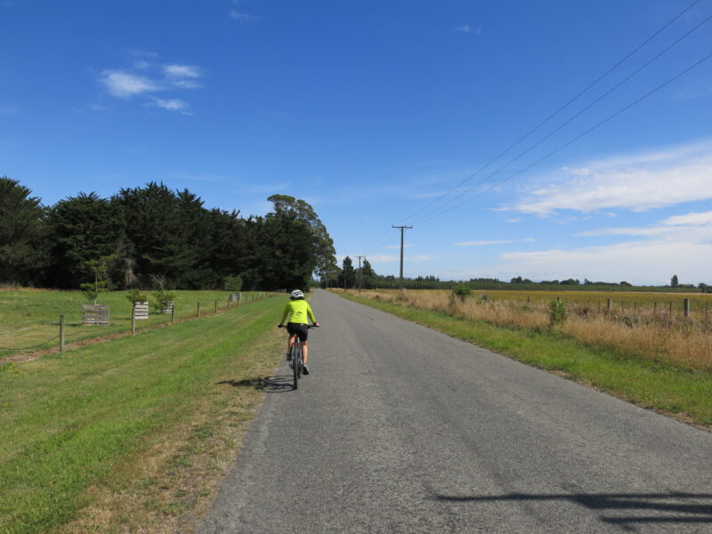
Then you get to the best bit of the ride. All of a sudden, you are on a lovely tree-lined road winding happily along past beautiful lifestyle properties with little, if any, other traffic. The noise of cars is replaced with the sounds of birds and the rustle of wind in trees, and you can feel yourself relax almost instantly (well, that’s what happens to me anyway). You will still see the odd car but, chances are, you’ll see more bicycles.
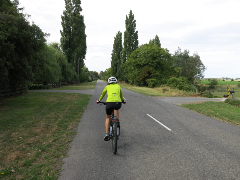
Eventually the road connects back up to the main road at Tai Tapu. But, before then, I like to turn into Rhodes Road (opposite Tai Tapu Domain’s memorial gates) and add in a small loop that takes me past Otahuna Lodge, and even more stunning lifestyle properties. You can do the loop in either direction – either go straight ahead and wind back around Cossars Road or turn immediately into Cossars Road and come back the other way. Just be aware that there is a small section of narrow gravel road (about a kilometre) so take care if you’re on a road bike.
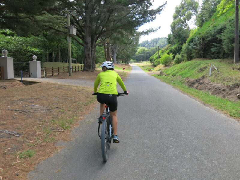
Conveniently, the extra loop also sets you up nicely to stop into the wonderful Raspberry Café as you ride by. (And really, it would be rude not to.) Otherwise carry on to Tai Tapu village, where you can get food and coffee at The Store @ Tai Tapu or across the road at General Post.
Tai Tapu to Lincoln
From Tai Tapu, you could simply turn around and head back to Christchurch the same way. But I prefer loop rides so I carry on to Lincoln and make my way back to the city via another major cycleway, the Little River Link.
Cycling on to Lincoln means (carefully) crossing the main road and going straight ahead for a few hundred metres down Lincoln-Tai Tapu Road. Then you’ll (carefully) turn right over a one-lane bridge to cross the river, and then left to continue down Perymans Road.
Like Old Tai Tapu Road, Perymans Road is blissfully light on cars and provides a quiet ride through farmland to Lincoln. When you get to the end of the road, a short section of cycleway/shared path will help you connect back up to the main road into Lincoln’s town centre.
Back to Christchurch via the Little River Link
You’ll arrive in Lincoln on Edward Street and, as you cycle through, you will see start to see signs for the Little River Rail Trail. If you were heading to Little River, you would turn left down Liffey Spring Drive and cycle through a reserve to the trail. But don’t do that. Instead continue on Edward Street and follow the signage going the opposite way. The trail will direct you to the other side of the road just before East Belt, where you can cut through to James Street. (It’s just after a pedestrian crossing, which you might choose to use if the traffic’s busy).
If you want to carry on into the centre of town and look around, keep cycling and turn left into Gerald Street (which is where most of the shops are). You can connect directly to James Street from here when you’re ready to leave.
From James Street, the trail goes straight down Birchs Road to Prebbleton via a bi-directional shared path on the east side. It’s not the most scenic ride, and it can a bit noisy with the vehicles, but it will get you from A to B. One point of interest along the way is Kakaha Park, which is a great new recreation space with sports fields, bike tracks and a dog park.
Coming into Prebbleton, the trail makes a detour (at Trices Road) through residential streets and a reserve before popping back out onto Springs Road. But if you’re confident on the roads, you could skip the detour and carry on to the end of Birchs Road, turning right into Springs Road when you get there. Just before the roundabout on Springs Road, you’ll pop back onto the footpath to connect to a shared path taking you directly to the Christchurch Southern Motorway.
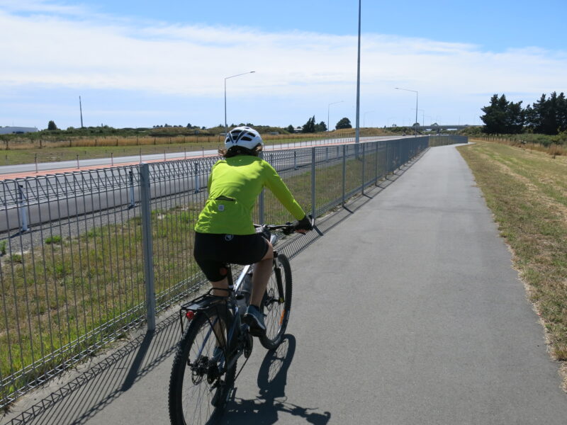
From here, it’s an easy ride back to city via the Little River Link. You’ll ride alongside the motorway for much of the way before heading through quiet streets in Addington and on to South Hagley Park and back to the Antigua Street bridge. It’s well signposted but the motorway path does have multiple entry and exit points (and connects to a couple of other cycleways), so make sure you take the correct turns.
Of course, the connecting cycleways give you options if you don’t want to head back to the city centre. For example, I’ve worked out that I can get most of the way home without having to cycle on the roads by turning off at Annex Road and using a combination of major cycleways (the Nor-West Arc, the Uni-Cycle and the Northern Line). If you consult the latest Ōtautahi Christchurch Bike Map, you’ll probably find you can do something similar.
Some options
My loop is about 65 kilometres from north Christchurch – so it will be about 10 kilometres shorter, 55 kilometres, if you’re starting and finishing at the Antigua Street bridge.
- For a shorter ride, turn around at Tai Tapu and go back the same way you came instead of carrying on to Lincoln. Skipping the Rhodes/Cossar loop will also reduce your ride by about 5 kilometres.
- For a longer ride, you could add in a detour to Rolleston. From Lincoln, there is a shared path to Rolleston next to the road – turn right into Boundary Road from James Street. The return trip is at least 20 kilometres (depending on how much cycling you do when you get to Rolleston).

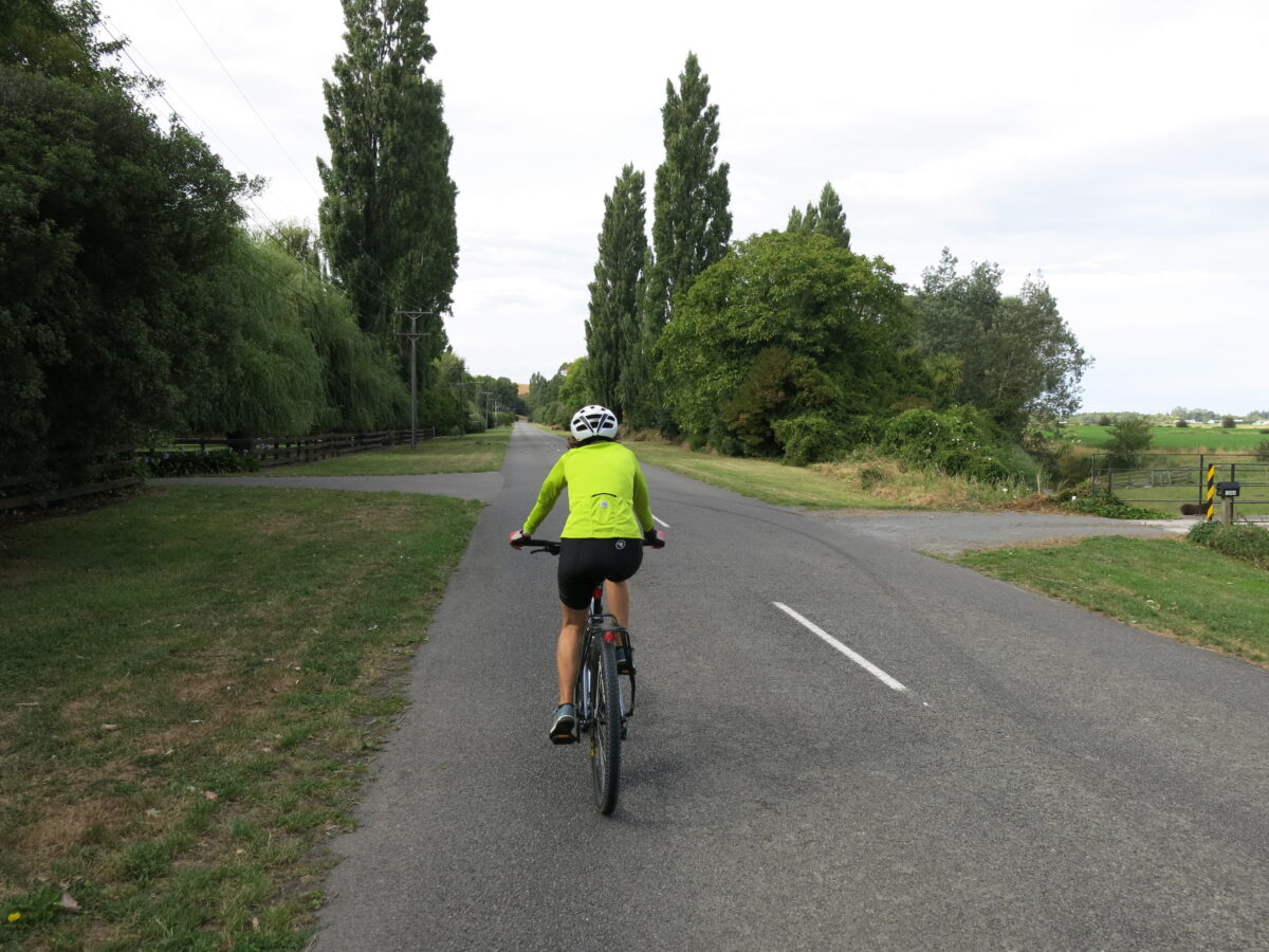
I like to tack on the Otahuna loop between Tai Tapu and the hills.
From the Tai Tapu domain, go east down Rhodes road, and follow the road back.
https://www.strava.com/segments/3771745
Do note there is a short section of gravel, about 200 metres.