Last weekend I told you one way for getting out to McLeans Island Forest. Back in Jan 2018, guest blogger Robert also explored ways to get there during the summer break. In the second part of his adventures, he concludes his journey on Christchurch’s outer trails further east along the Waimakariri River corridor:
It is hard to beat a mild cloudless windless day in Canterbury for biking, particularly at the dying stages of a southwest storm. The air is pristine, views are spectacular and there is an early morning crispness that turns to warmth as the sun moves higher. Perfect…
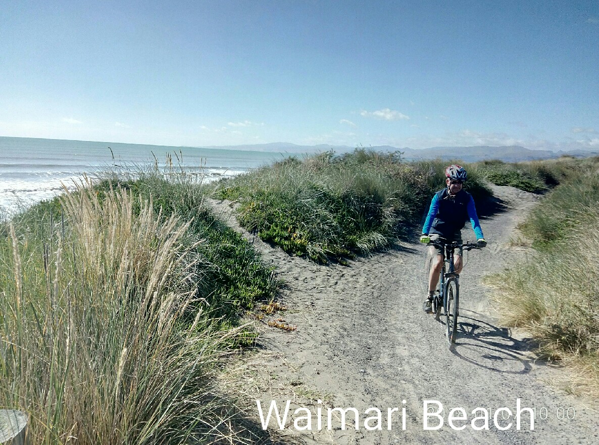
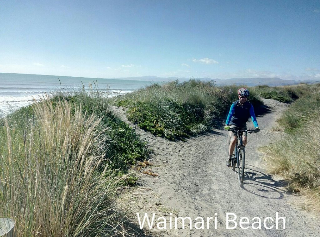
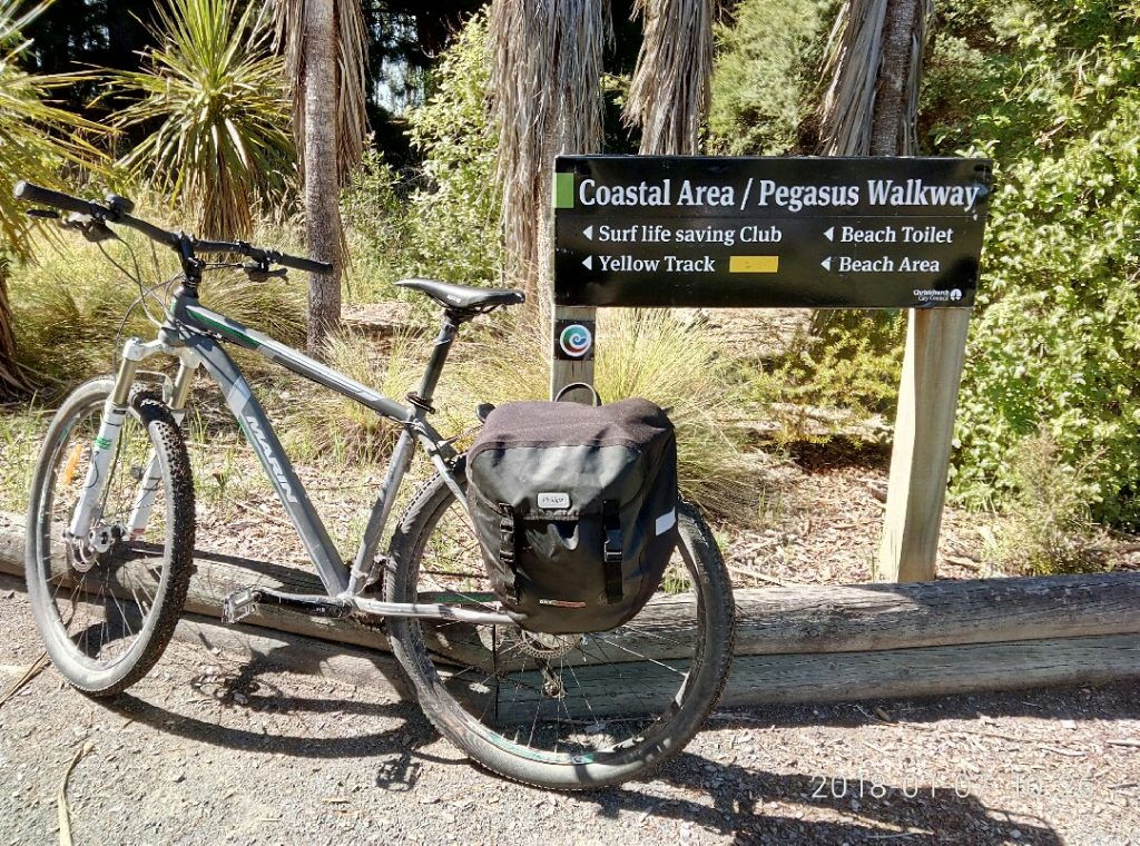
With the puncture duly repaired, this half of our circuit was anti-clockwise. After a stop for coffee at Waimairi Beach, the track begins, heading north through the sand hills along a solid and wide shingle track to Bottle Lake Forest. At two points, the track rides on top of the sand hills, affording great views of Godley Head and the Port Hills across to the Kaikoura Ranges.
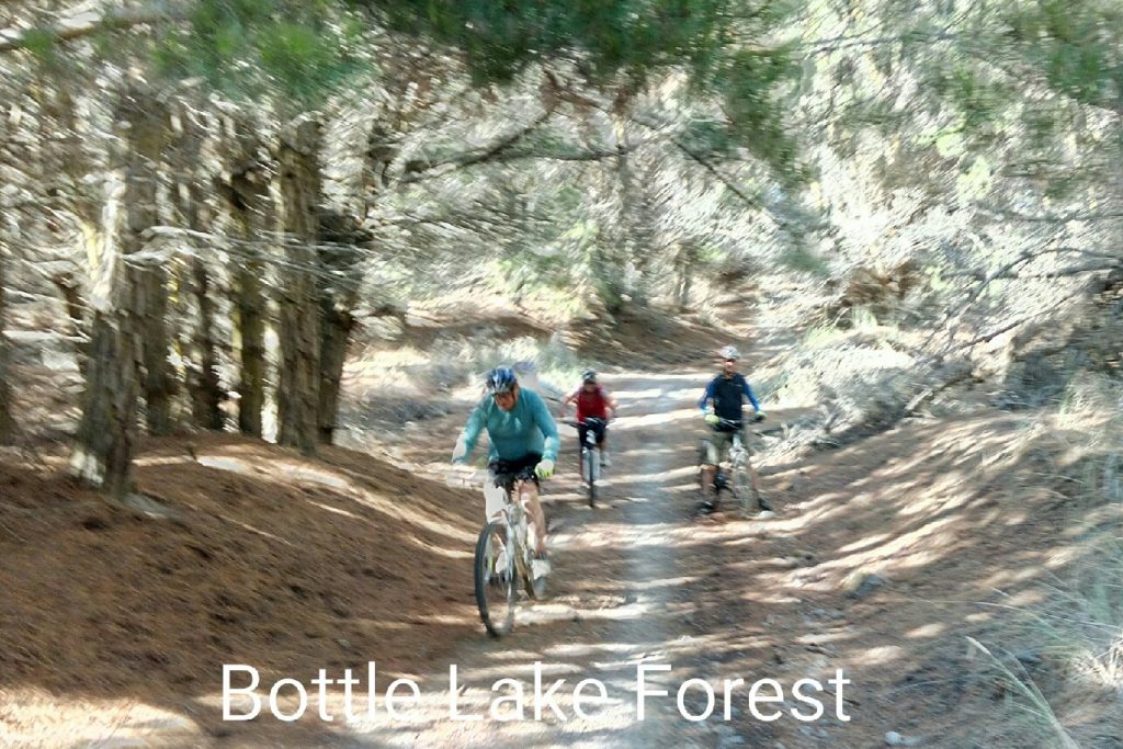
Known as the Southern Pegasus Bay Track, this leads along the eastern side of Bottle Lake Forest to the new Spencer Park Surf Lifesaving Facility and into Spencer Park.
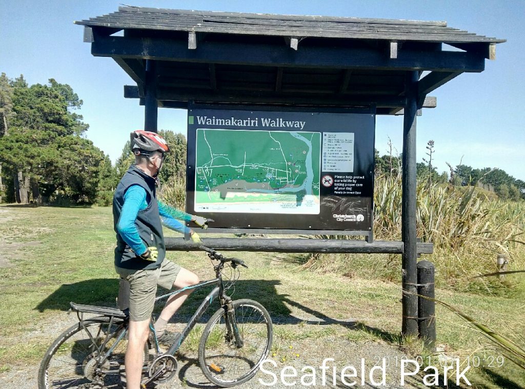
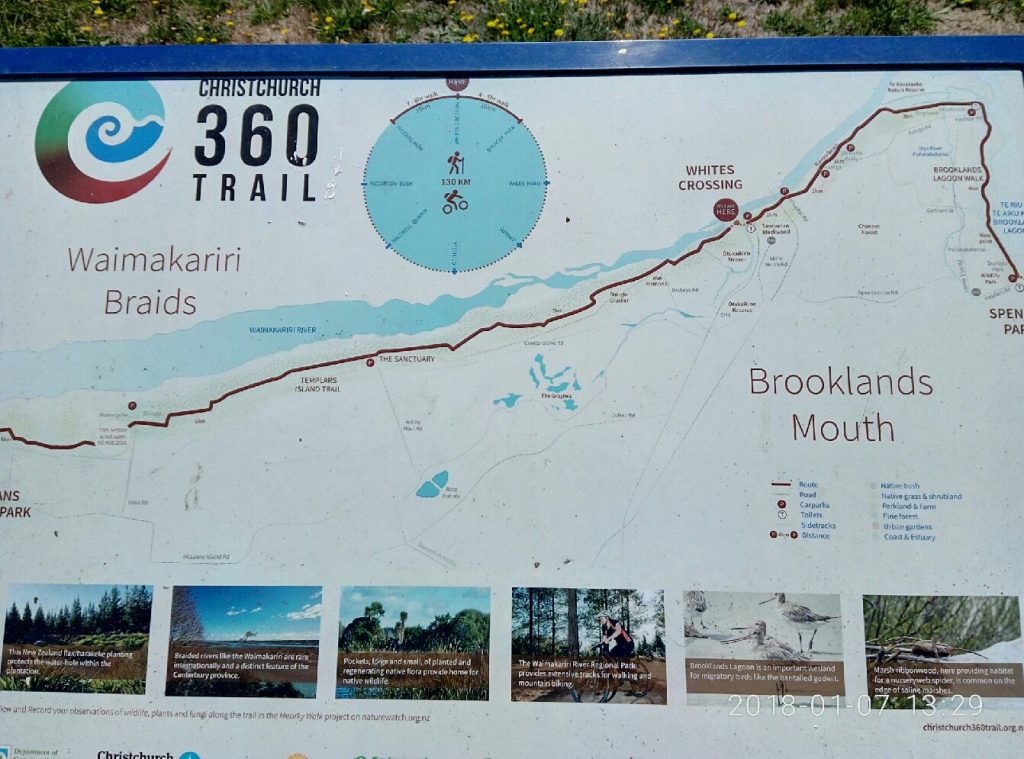
The Brooklands Lagoon Walkway begins here at Seafield Park, which is just north of Spencer Park on Heyders Road. The Pegasus Bay Track continues north along the east side of the lagoon to the Waimakariri River mouth. The return journey to the river mouth (sorry, not crossable by bike) and back to Spencer Park would add another 10km.
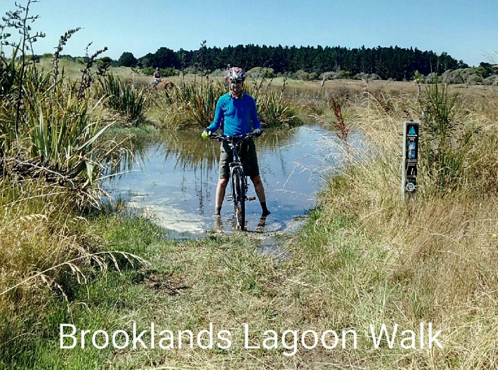
Brooklands Lagoon Walkway is indeed a walkway, not a bike path, so it is the slowest section of the journey. Sand-walking the bikes will probably be required in places and there are areas of soft uneven surfaces. If the tide is high then expect wet feet from ankle deep paddling in sections. This adds to the fun. The slower journey is no problem as the lagoon is scenic and there is ample birdlife to observe along the way.
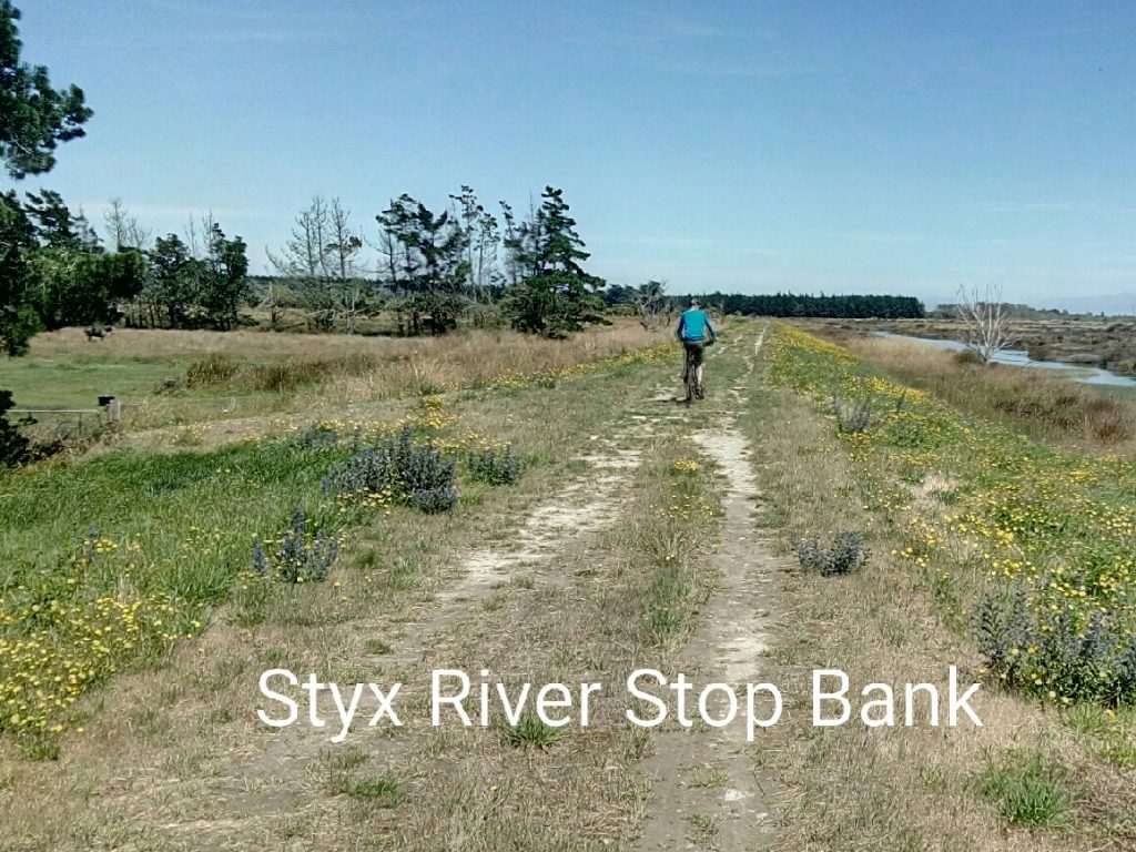
At Brooklands, the track turns west along the Styx River stop bank towards Stewarts Gully and Kainga. At times, the 360 Trail moves off the stop bank, but signs indicate the mountain bike track remains on the stop bank. Choices to make. The Blue Line bus can be caught at Bridgend back to the city.
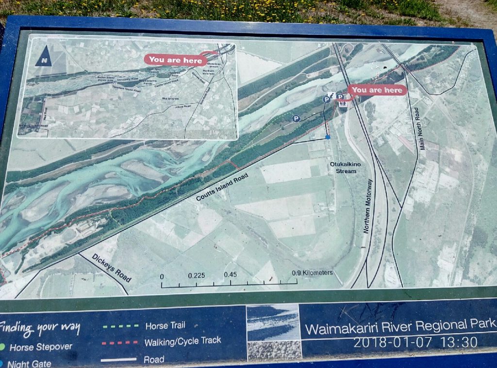
Alternatively, by following the river bank under the rail and two road bridges, it leads to Whites Crossing Picnic Area. Shortly after getting back onto the stop bank, it is possible to ride down onto Coutts Island Road to turn left onto Dickeys Road which leads under the Western Belfast Bypass to the Main North Road at Belfast. Here, the Blue Line bus can be caught also.
There is a range of maps and information boards on most sections of this epic journey. The route is generally well marked. Look for the 360 Trail sign where possible. For written directions to take as back up, print off from the Christchurch 360 Trail website (Dunes Wetlands, Brooklands Mouth and Waimakariri Braids segments).
The Waimakariri Regional Park is a recreational area of 15,000 hectares, a collective space of many different areas of geographical, ecological, historic and recreational interest. Over the last couple of decades it has been developed into an accessible facility of significance for all. Enjoy…
Have you explored these trails in northern Christchurch?

Since late 2024 it is not possible to take bikes on buses.
So if you bike there you will need to bike back…
So if you bike there you MIGHT need to bike back…